Uphill
625m
France > Auvergne-Rhône-Alpes > Ardèche > Monts d'Ardèche Regional Natural Park
Length
12km
Duration
5h
Elev gain
625m
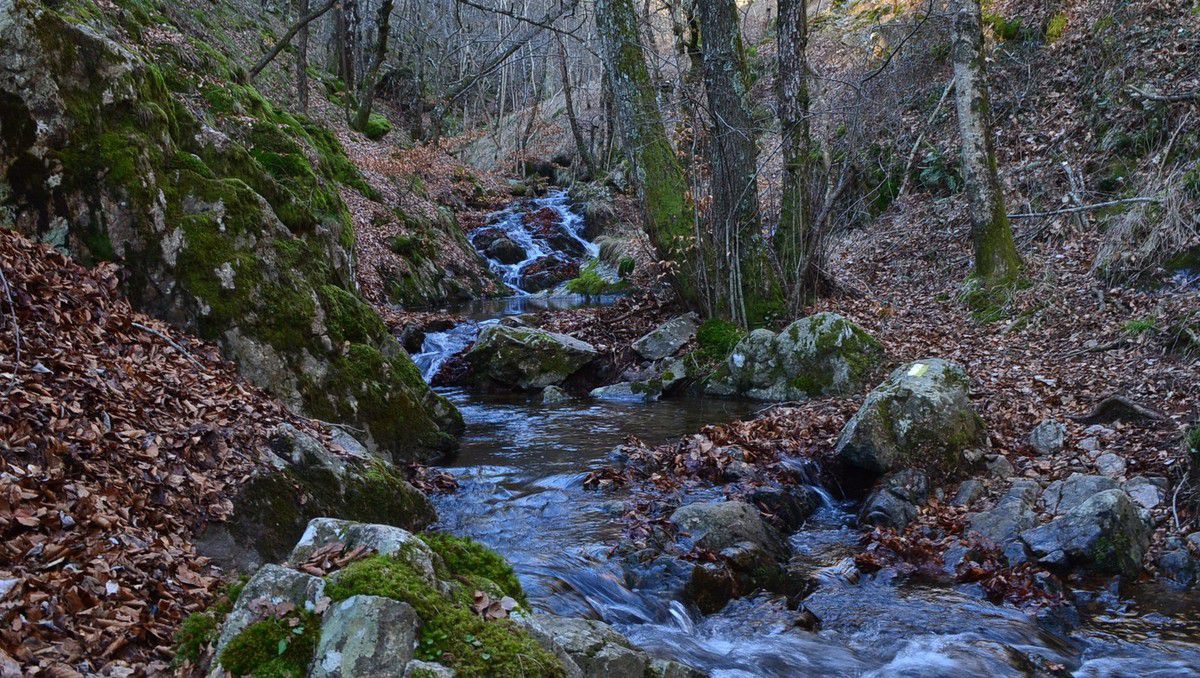
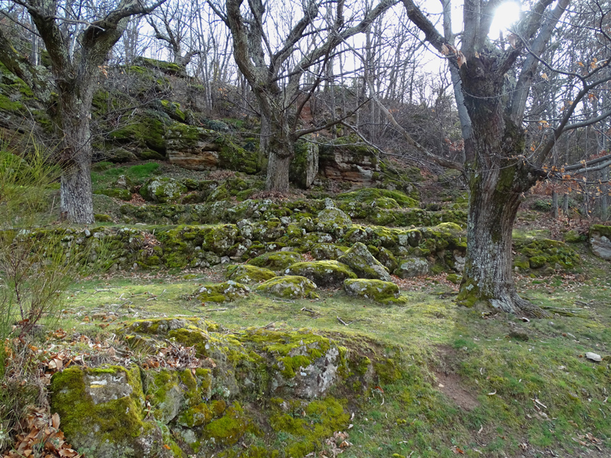
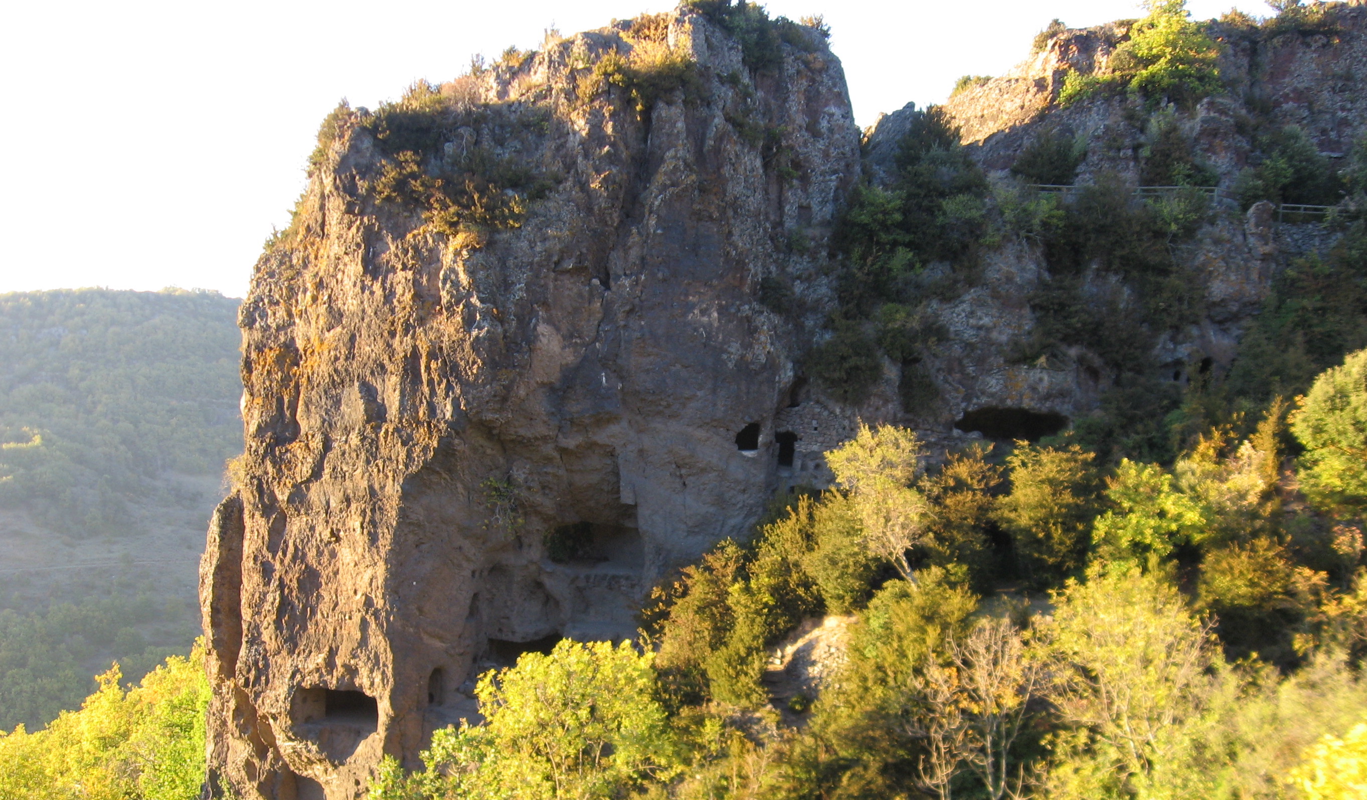
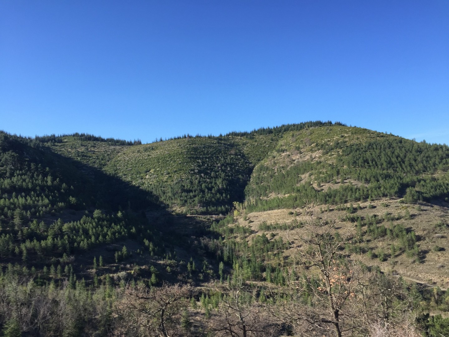
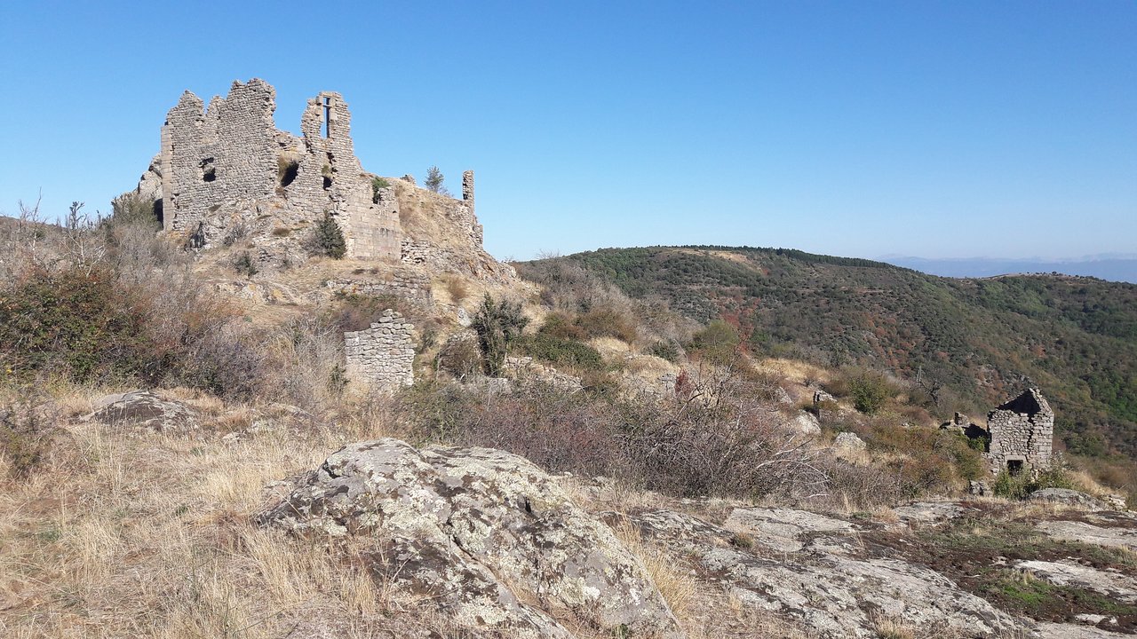
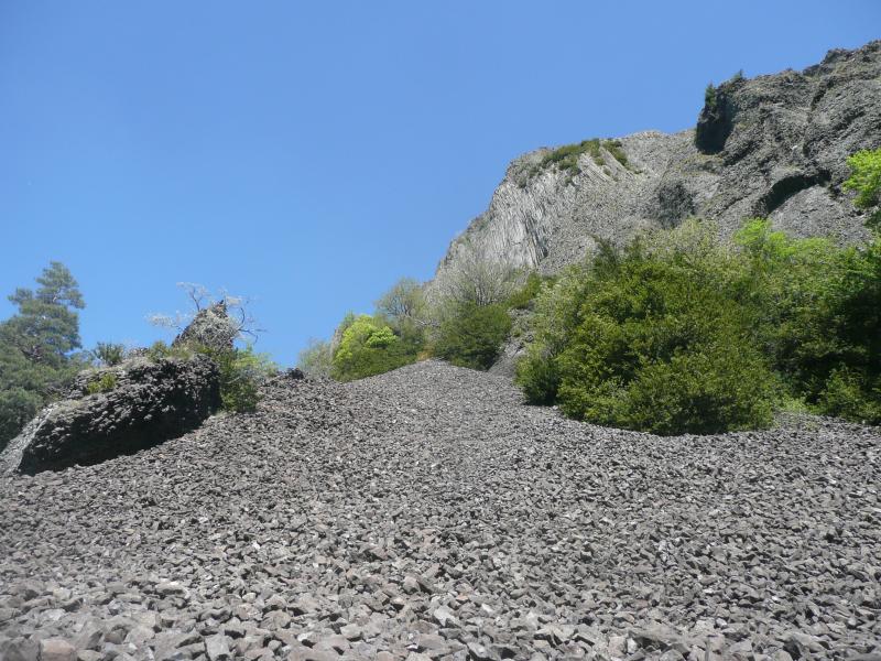
A hilly hike between forests and hamlets, leading to an ancient volcano. Lovely views over the Ardèche landscapes.

Already more than 200,000 users!
Uphill
625m
Highest point
728m
Downhill
625m
Lowest point
367m
Route type
Loop
Download the map on your smartphone to save battery and rest assured to always keep access to the route, even without signal.
Includes IGN France and Swisstopo.
I indicate whether dogs are allowed or prohibited on this trail
All year
1 rating
Also enjoy:

Already more than 200,000 users!