Uphill
1074m

France > Auvergne-Rhône-Alpes > Ain > Haut-Jura Nature Park
Length
17km
Duration
7h30min
Elev gain
1074m
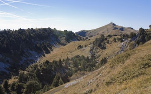
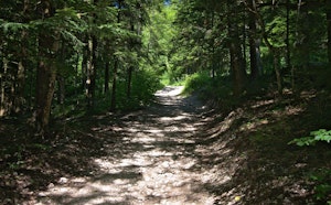
Leaving from Lélex, this first day of walking begins with a steep ascent in the undergrowth. The first three kilometers thus make it possible to take more than 500 meters of elevation gain, in order to leave the forest and reach a crest.
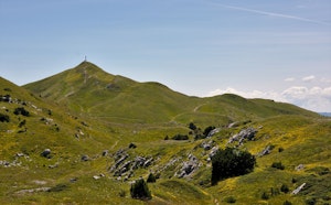
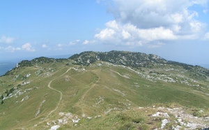
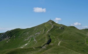
The path then passes through Colomby de Gex (1,689 m), the highest point of the leg. The panorama opens onto Geneva, Lake Geneva and the Alps.
You then have to go down almost everything that has been climbed! The path goes through the Col de la Faucille then joins Mijoux to end this stage.

Already more than 200,000 users!
Uphill
1074m
Highest point
1702m
Downhill
972m
Lowest point
904m
Route type
One way
Download the map on your smartphone to save battery and rest assured to always keep access to the route, even without signal.
Includes IGN France and Swisstopo.
There are several options in Mijoux.
I indicate whether dogs are allowed or prohibited on this trail
From May to October
4 ratings
Also enjoy:

Already more than 200,000 users!