Uphill
573m
France > Auvergne-Rhône-Alpes > Ain > Haut-Jura Nature Park
Length
16km
Duration
5h30min
Elev gain
573m
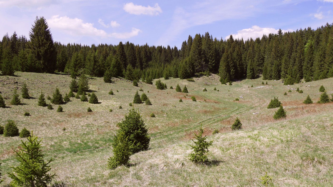
This second day contrasts sharply with the first, which was marked by elevation gain, crests and open panoramas. Indeed, this new leg crosses mid-mountain landscapes, alternating between undergrowth, meadows, fields, and farms, all without steep slopes.
The route takes small roads several times before reaching the village of Moussières.

Already more than 200,000 users!
Uphill
573m
Highest point
1340m
Downhill
425m
Lowest point
980m
Route type
One way
Download the map on your smartphone to save battery and rest assured to always keep access to the route, even without signal.
Includes IGN France and Swisstopo.
Several options in Les Moussières.
I indicate whether dogs are allowed or prohibited on this trail
Can be difficult in Winter
4 ratings
Also enjoy:

Already more than 200,000 users!


