Uphill
605m
France > Auvergne-Rhône-Alpes > Puy-de-Dôme > Volcans d'Auvergne Regional Natural Park
Length
12km
Duration
5h30min
Elev gain
605m
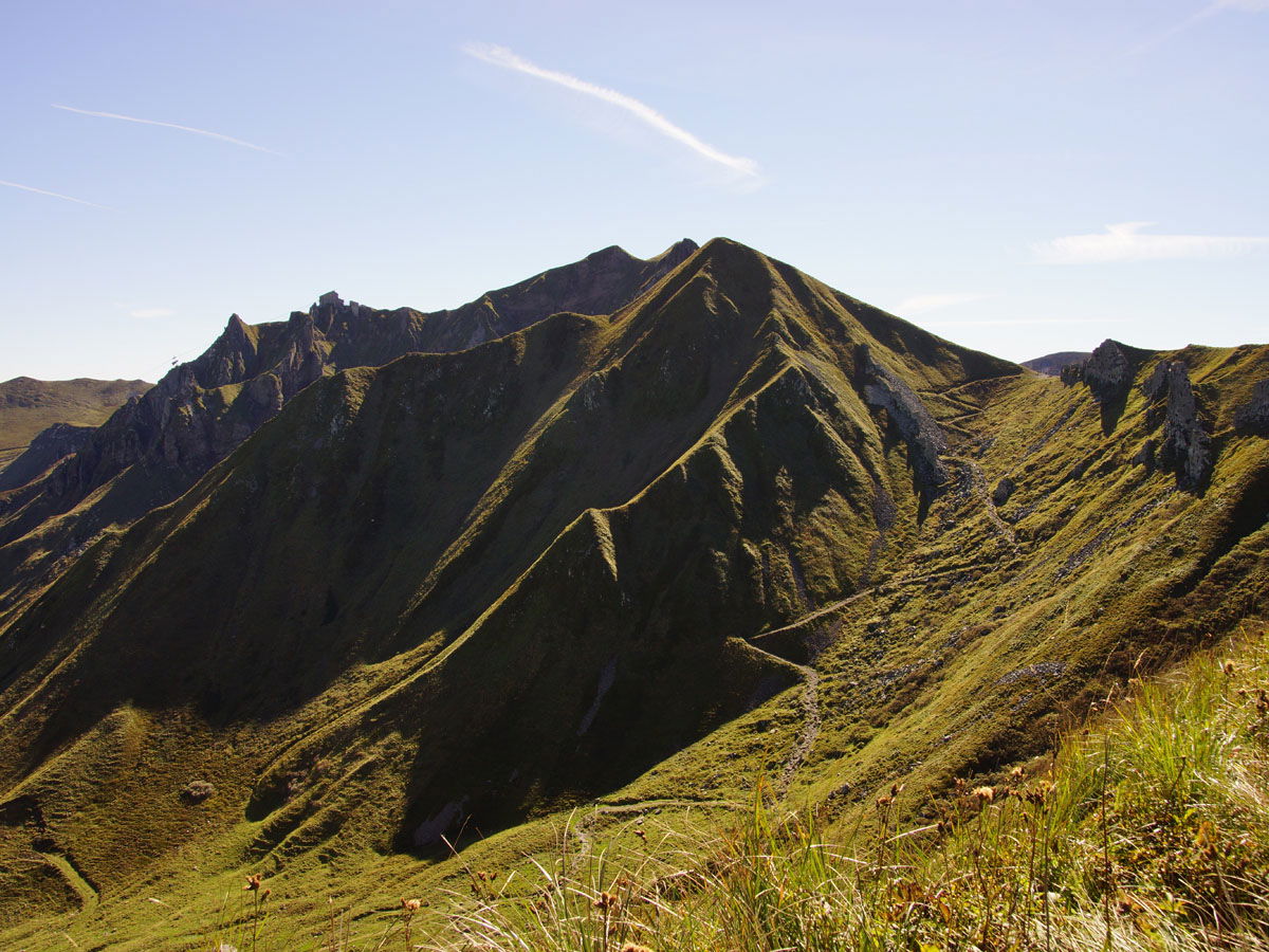
Here is the last stage of this 4-day trek around Sancy, and it allows you to walk the famous crest line of the massif.
The trail first leaves Super-Besse, crossing its ski area, then joins the Col de la Cabane and the Puy de Sancy (1,885 m), the highest peak in the Massif Central. The view is simply exceptional.
The path continues along a crest linking numerous puys, and descending towards Mont-Dore. Approaching the town, the path finds vegetation with a forest, then leads to the parking lot of the starting point.

Already more than 200,000 users!
Uphill
605m
Highest point
1849m
Downhill
853m
Lowest point
1047m
Route type
One way
Download the map on your smartphone to save battery and rest assured to always keep access to the route, even without signal.
Includes IGN France and Swisstopo.
I indicate whether dogs are allowed or prohibited on this trail
From May to October
2 ratings
Also enjoy:

Already more than 200,000 users!


