Uphill
80m
Length
8km
Duration
2h30min
Elev gain
80m
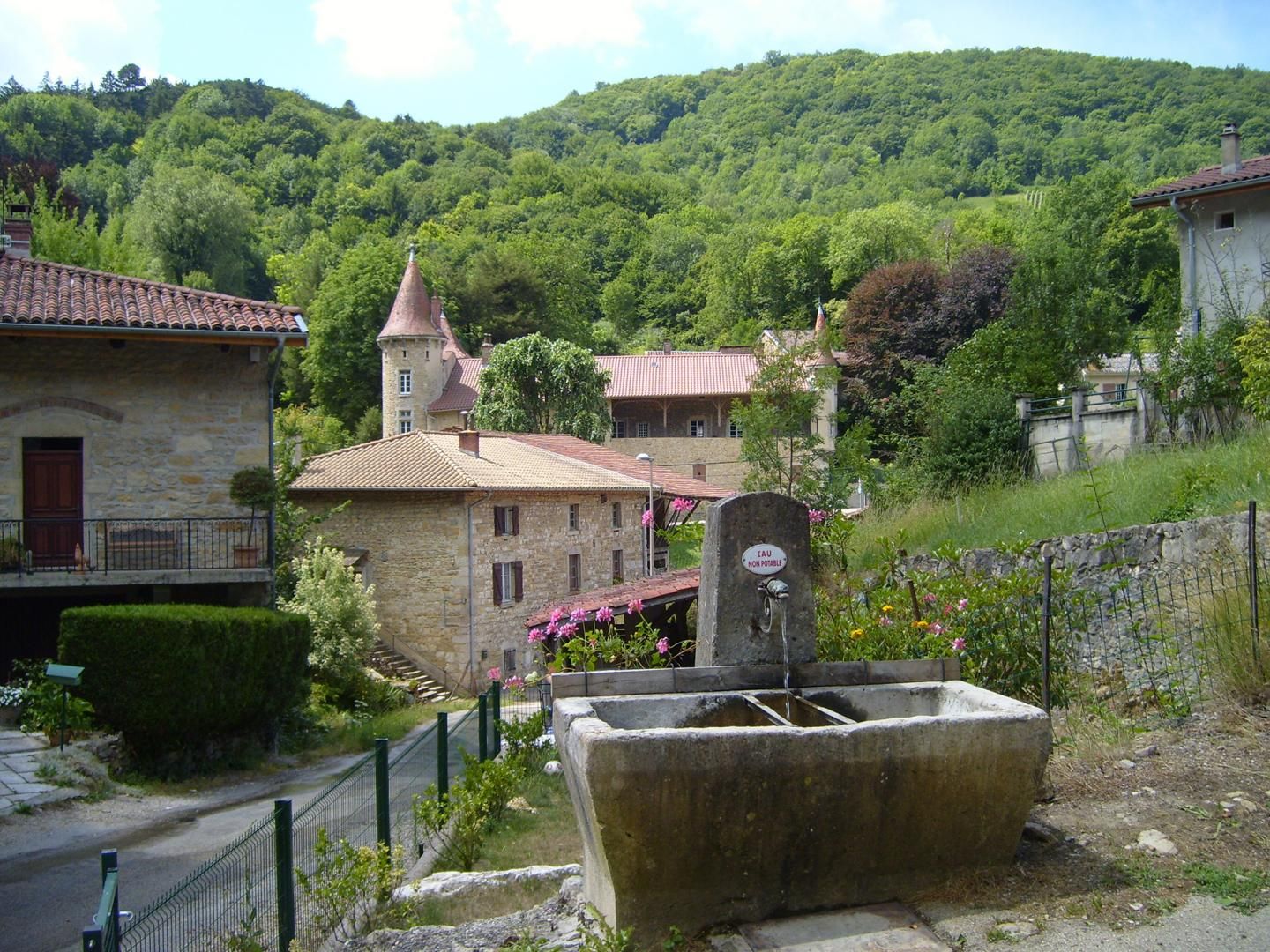
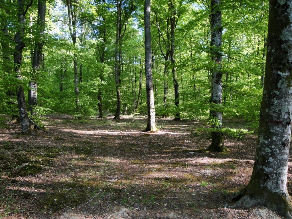
This walk takes place in Péronnas, very close to Bourg-en-Bresse. Real green lung of the agglomeration, the forest of Seillon offers many paths to the amateurs of walk.

Already more than 200,000 users!
Uphill
80m
Highest point
289m
Downhill
80m
Lowest point
250m
Route type
Loop
Download the map on your smartphone to save battery and rest assured to always keep access to the route, even without signal.
Includes IGN France and Swisstopo.
I indicate whether dogs are allowed or prohibited on this trail
All year
0 ratings
Also enjoy:

Already more than 200,000 users!