Uphill
548m
Length
17km
Duration
6h
Elev gain
548m
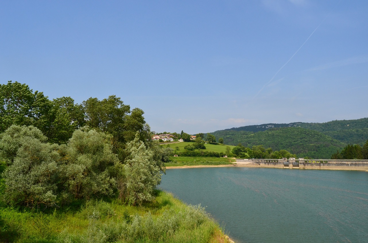
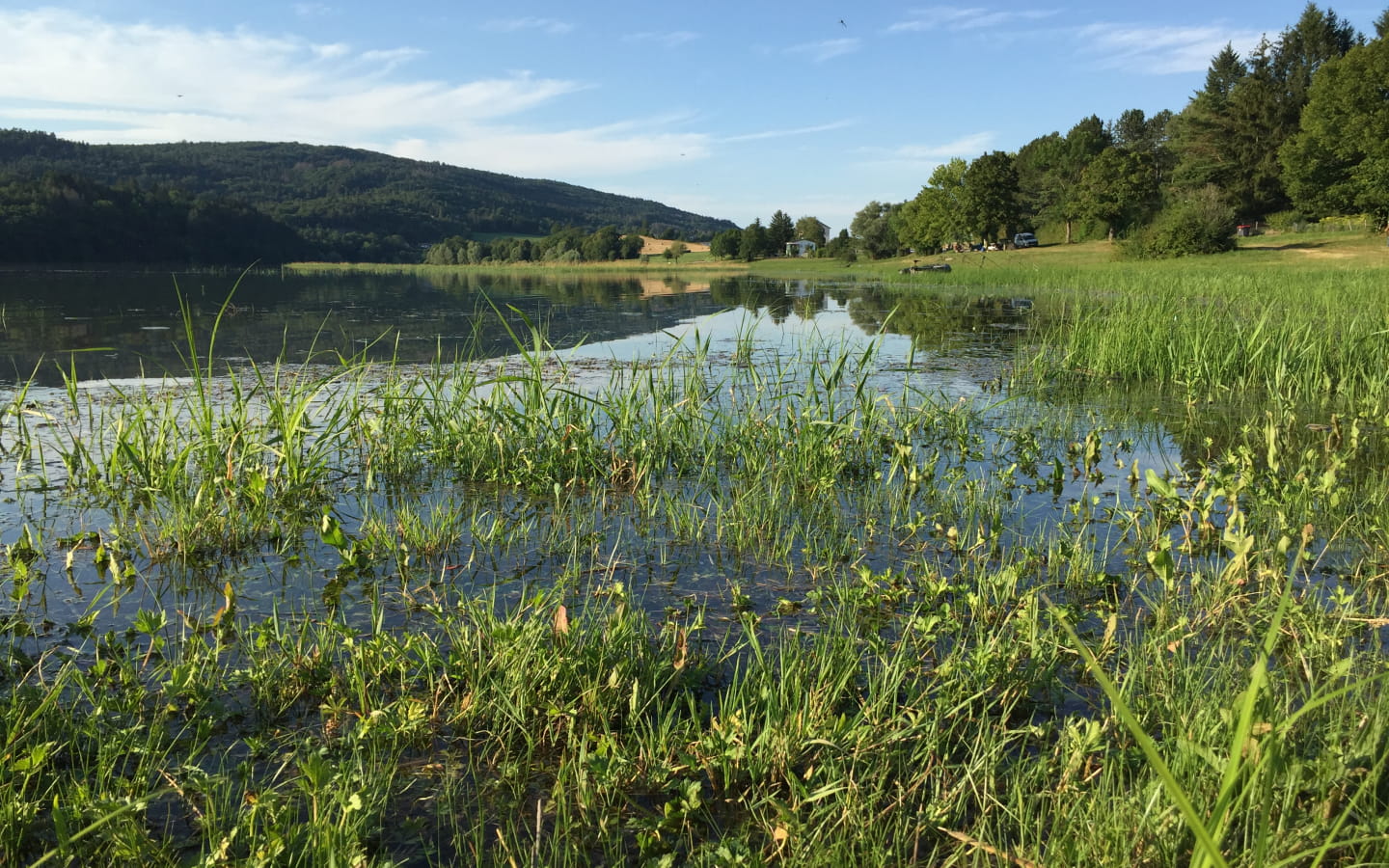
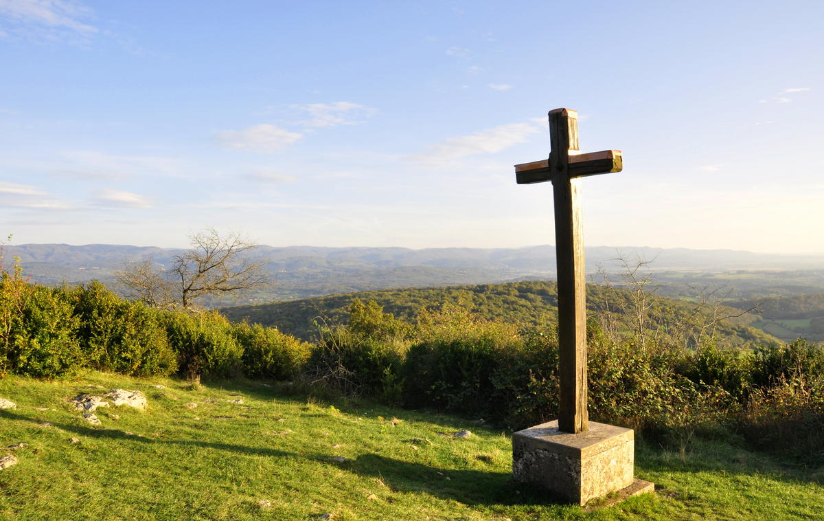
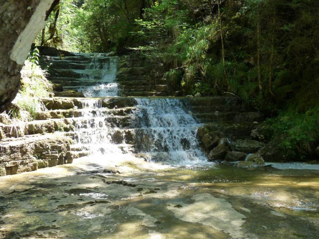
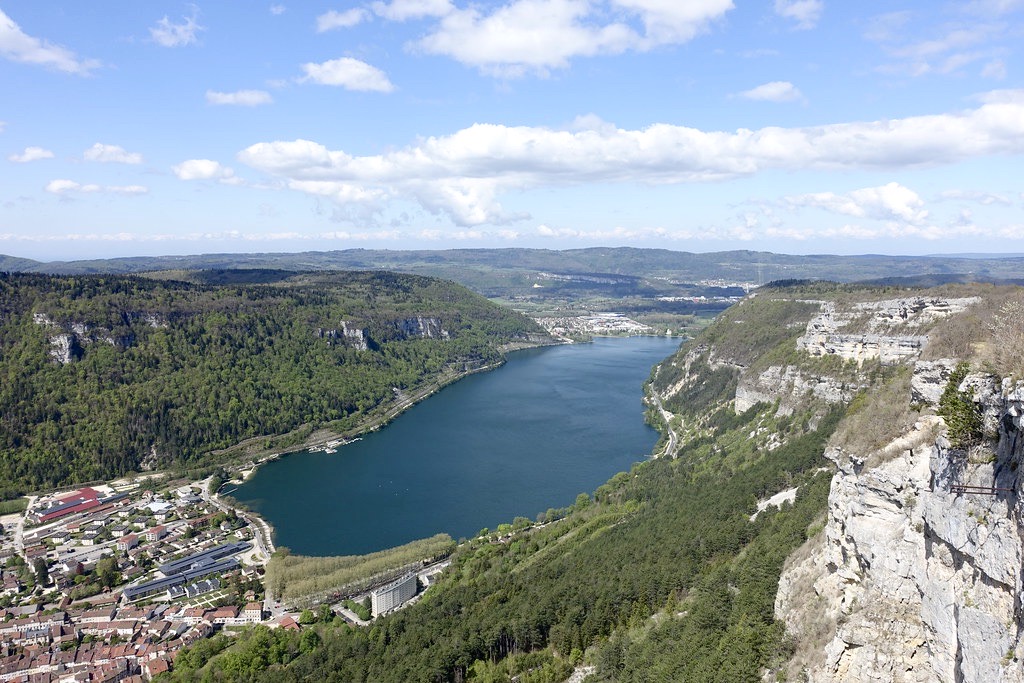
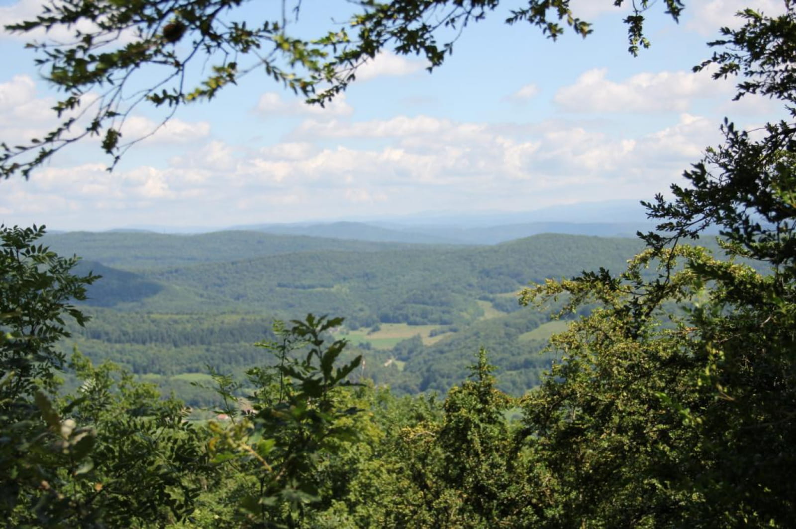
Beautiful and long hike on Mont Nivigne, culminating at 768 meters above sea level. The trail passes by the Bear Cave and offers pretty views over the valley.

Already more than 200,000 users!
Uphill
548m
Highest point
766m
Downhill
543m
Lowest point
305m
Route type
Loop
Download the map on your smartphone to save battery and rest assured to always keep access to the route, even without signal.
Includes IGN France and Swisstopo.
I indicate whether dogs are allowed or prohibited on this trail
All year
1 rating
Also enjoy:

Already more than 200,000 users!