Uphill
215m
France > Auvergne-Rhône-Alpes > Cantal > Volcans d'Auvergne Regional Natural Park
Length
5km
Duration
2h
Elev gain
215m
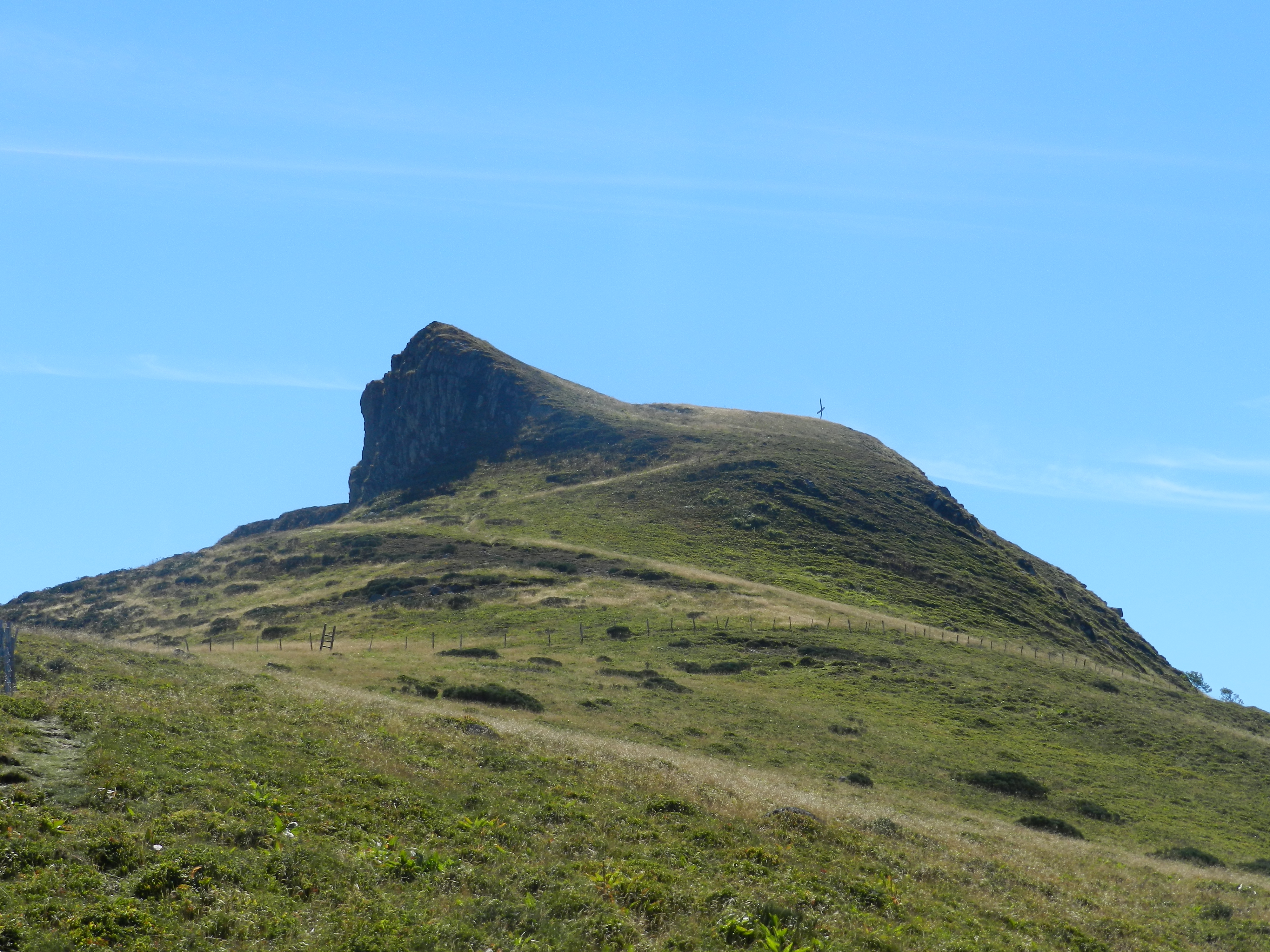
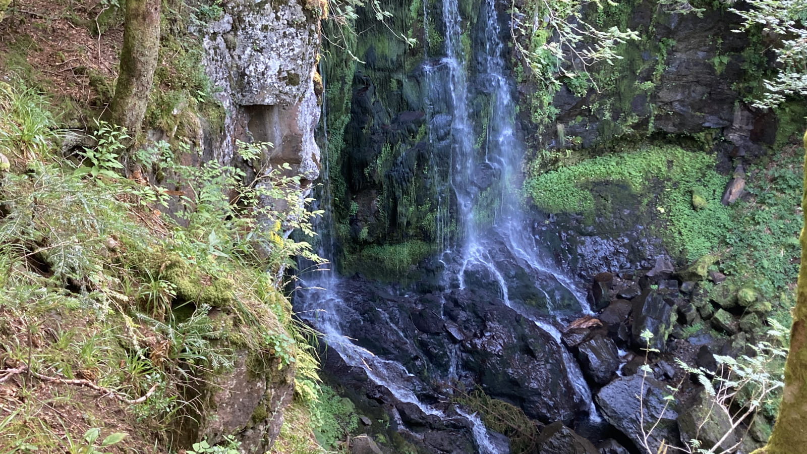
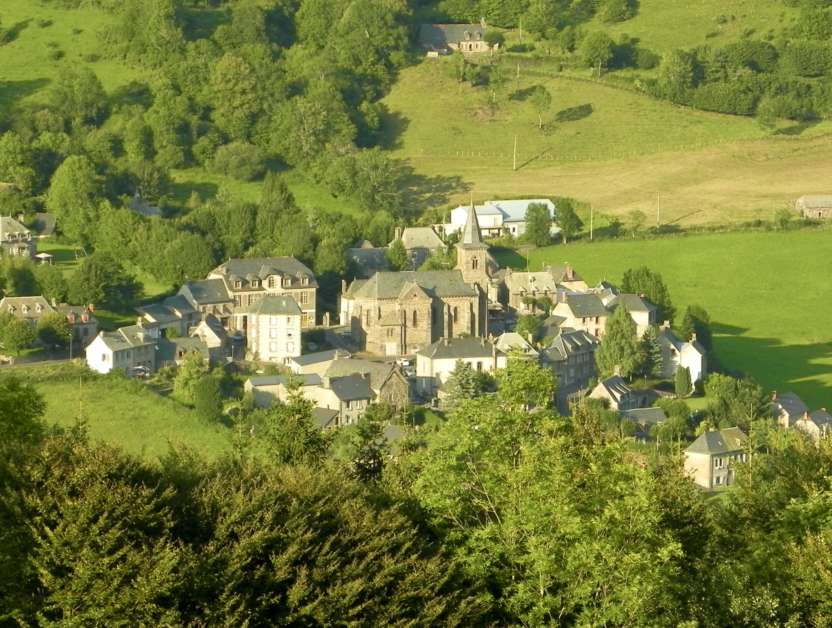
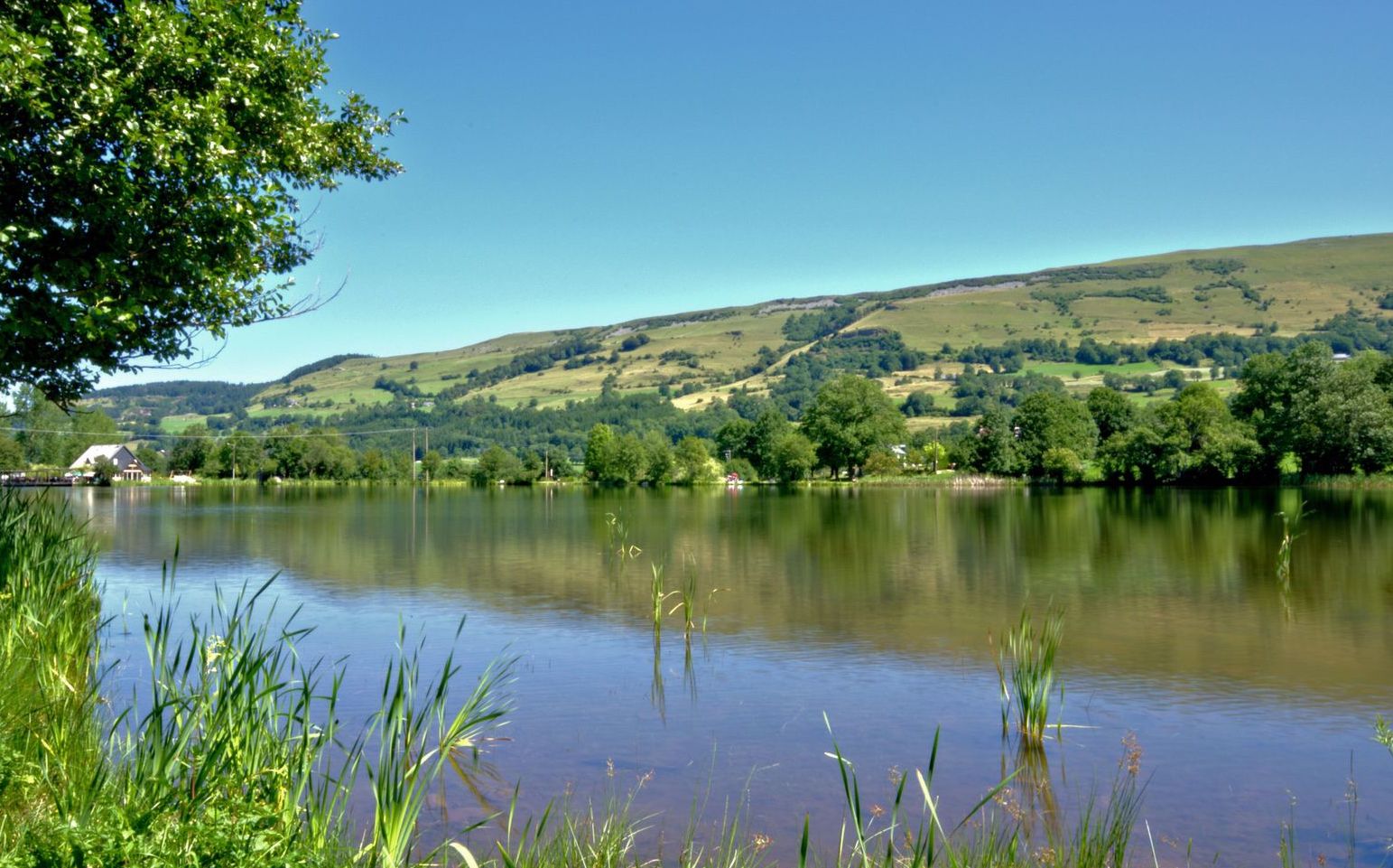
This route begins by going around the Lac des Cascades, before continuing towards the woods overlooking the village of Sartre.

Already more than 200,000 users!
Uphill
215m
Highest point
1147m
Downhill
215m
Lowest point
955m
Route type
Loop
Download the map on your smartphone to save battery and rest assured to always keep access to the route, even without signal.
Includes IGN France and Swisstopo.
I indicate whether dogs are allowed or prohibited on this trail
Can be difficult in Winter
0 ratings
Also enjoy:

Already more than 200,000 users!