Uphill
628m
France > Auvergne-Rhône-Alpes > Cantal > Volcans d'Auvergne Regional Natural Park
Length
9km
Duration
4h30min
Elev gain
628m
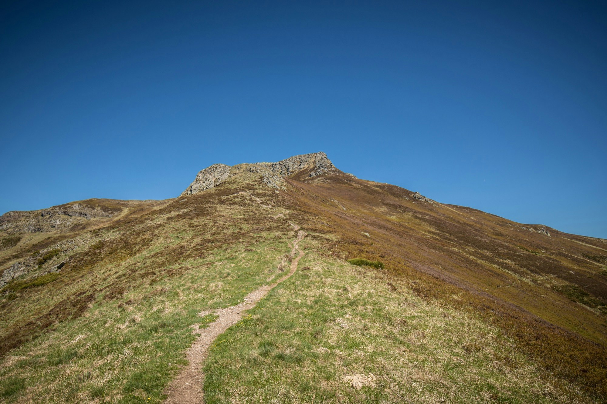
Here is a usually busy trail to Puy Mary, then a little quieter on the crests leading to Puy de Peyre Arse. Note the crossing of the Roland breach, a technical passage requiring the use of hands.

Already more than 200,000 users!
Uphill
628m
Highest point
1776m
Downhill
628m
Lowest point
1455m
Route type
Loop
Download the map on your smartphone to save battery and rest assured to always keep access to the route, even without signal.
Includes IGN France and Swisstopo.
I indicate whether dogs are allowed or prohibited on this trail
From May to October
3 ratings
Also enjoy:

Already more than 200,000 users!


