Uphill
156m
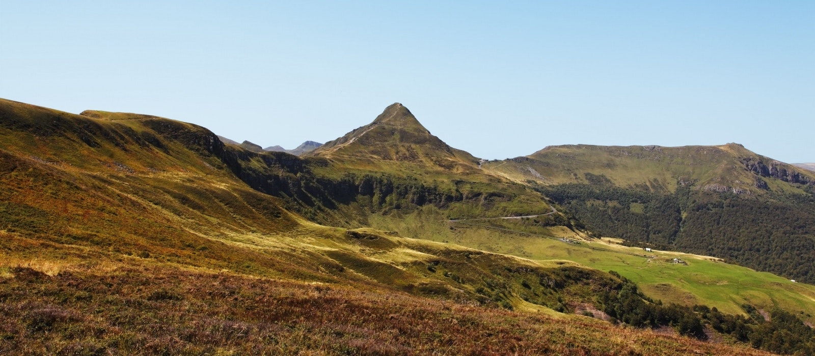
France > Auvergne-Rhône-Alpes > Cantal > Volcans d'Auvergne Regional Natural Park
Length
1km
Duration
1h
Elev gain
156m
Short there and back trail to the summit of Puy Mary (1783 m), offering a very nice view of the surroundings, and which can reach Mont Blanc on sunny days.

Already more than 200,000 users!
Uphill
156m
Highest point
1708m
Downhill
156m
Lowest point
1572m
Route type
There and back
Download the map on your smartphone to save battery and rest assured to always keep access to the route, even without signal.
Includes IGN France and Swisstopo.
I indicate whether dogs are allowed or prohibited on this trail
From May to October
0 ratings
Also enjoy:

Already more than 200,000 users!


