Uphill
397m
France > Auvergne-Rhône-Alpes > Cantal > Volcans d'Auvergne Regional Natural Park
Length
8km
Duration
3h
Elev gain
397m
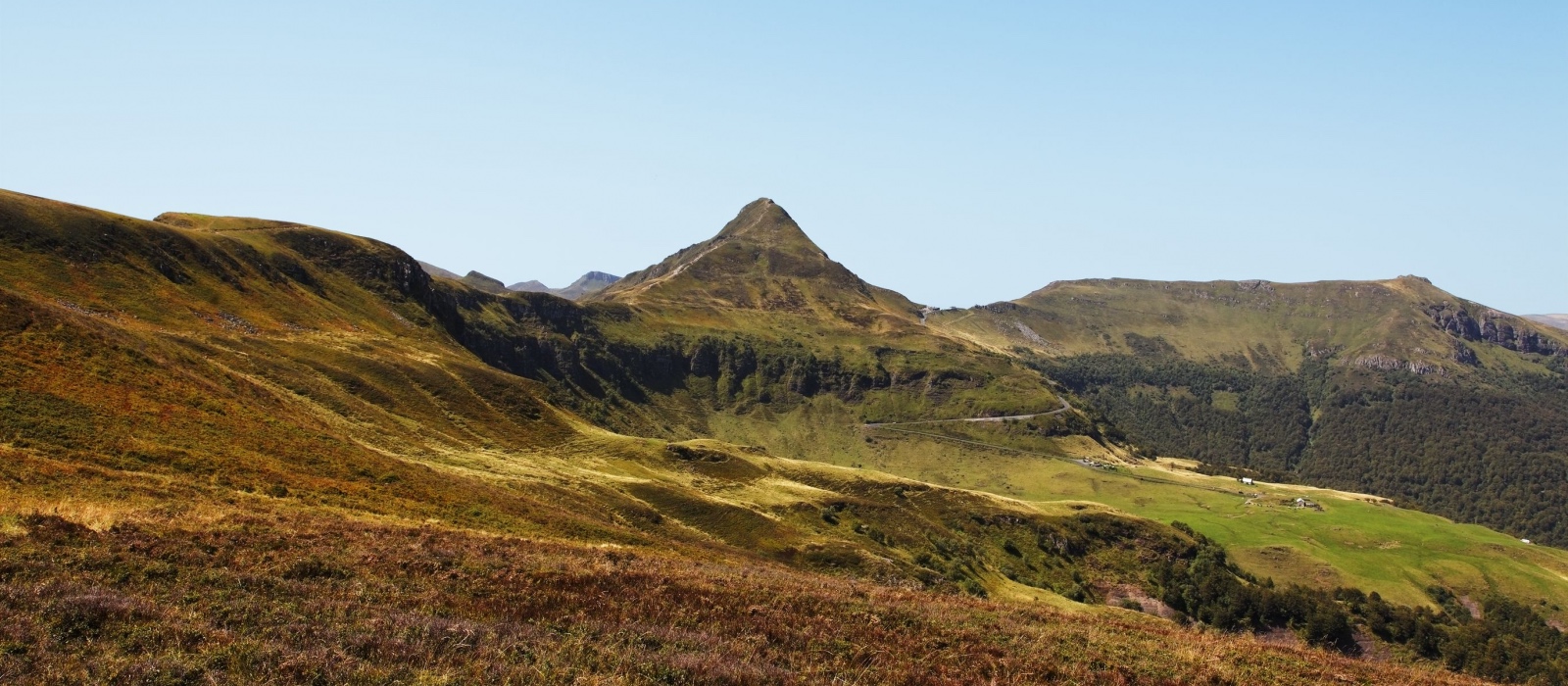
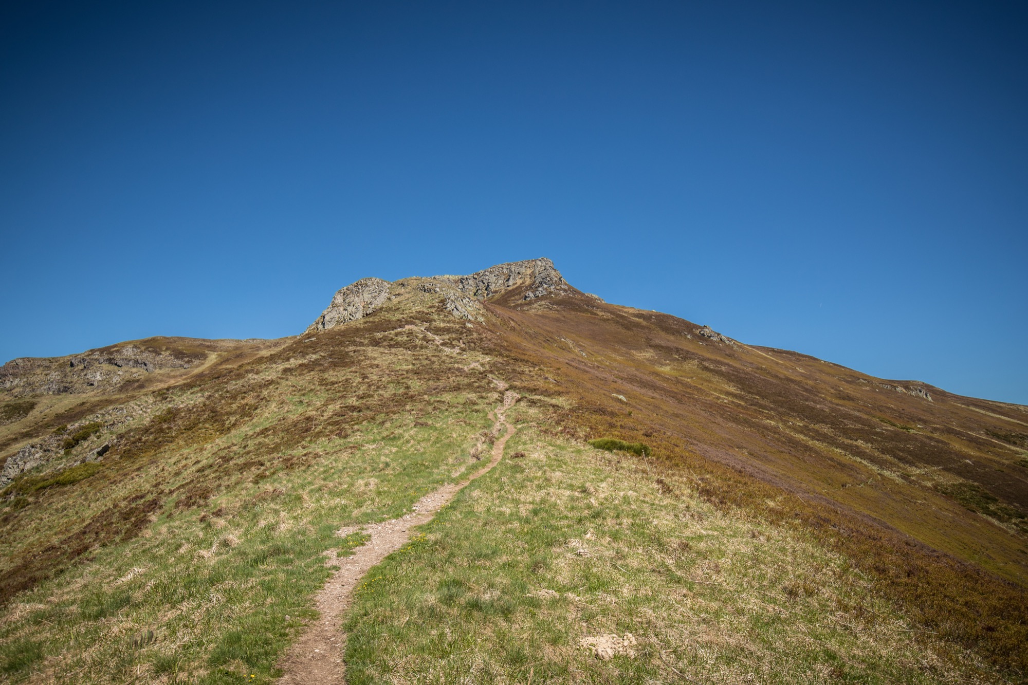
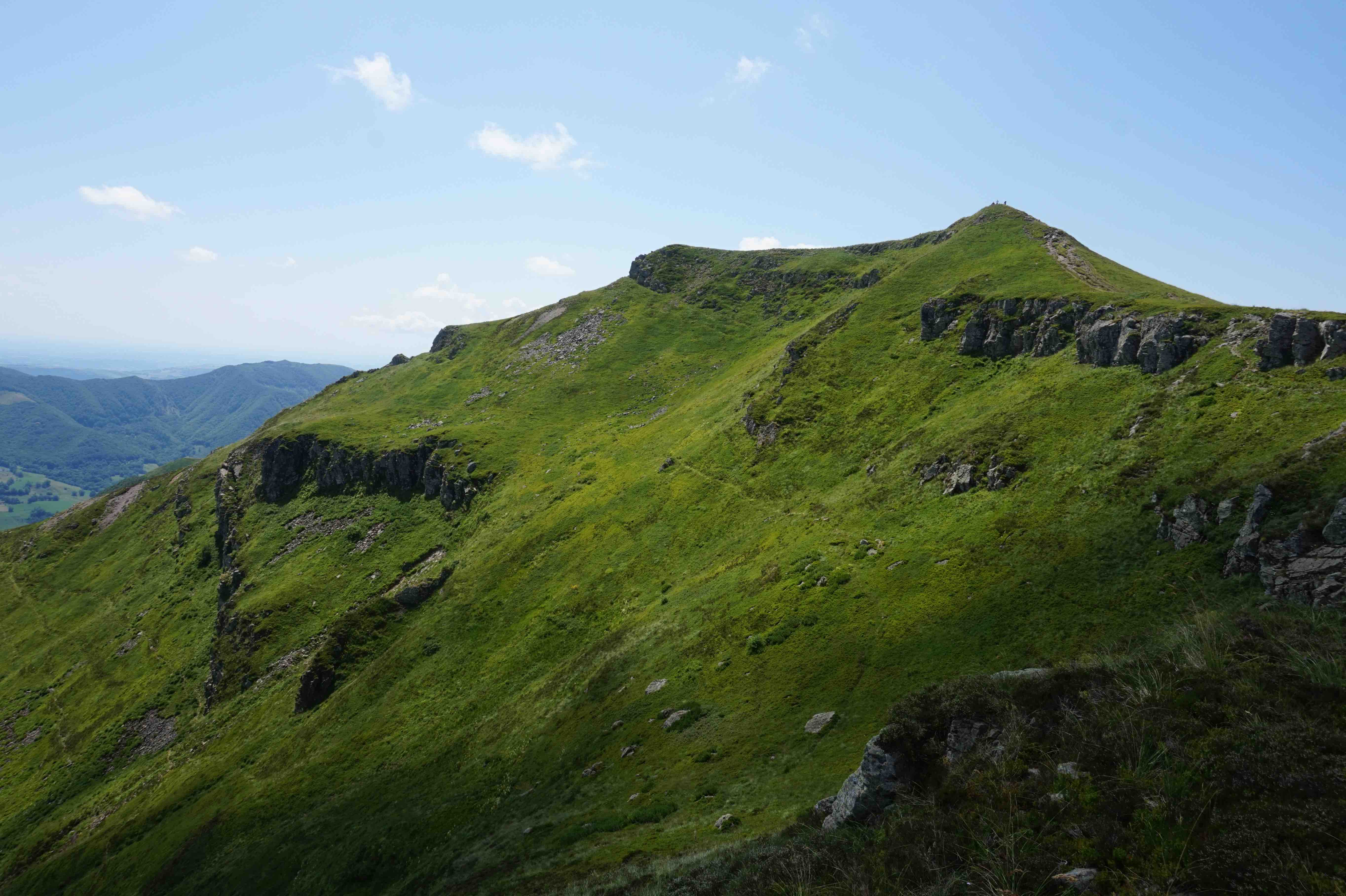
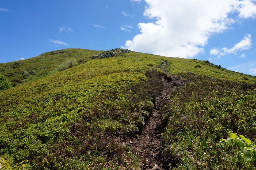
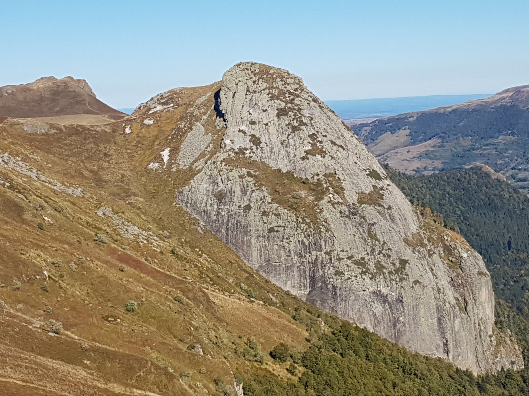
Starting from the Col de Redondet, this hike is full of viewpoints. The path begins by circumventing the Chapeloune then quickly joins the rock of Hozières, a playground for climbers. The trail then joins the Roc des Ombres, culminating at 1,633 meters above sea level, where the view is breathtaking. The return to the starting point is mainly by the same path.

Already more than 200,000 users!
Uphill
397m
Highest point
1619m
Downhill
397m
Lowest point
1469m
Route type
There and back
Download the map on your smartphone to save battery and rest assured to always keep access to the route, even without signal.
Includes IGN France and Swisstopo.
I indicate whether dogs are allowed or prohibited on this trail
From May to October
1 rating
Also enjoy:

Already more than 200,000 users!