Uphill
811m
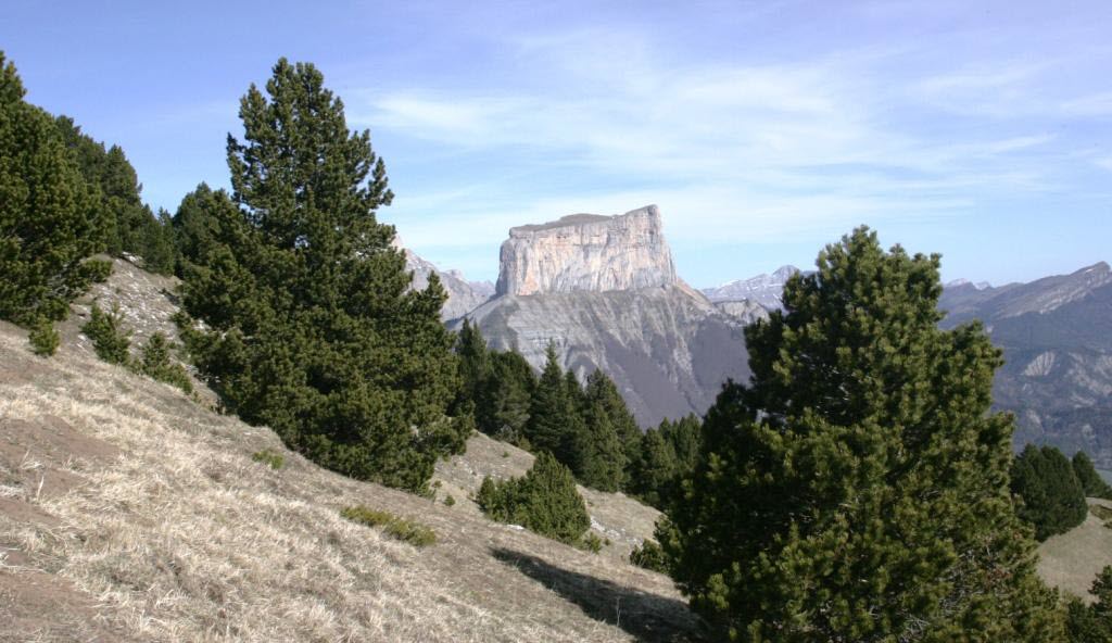
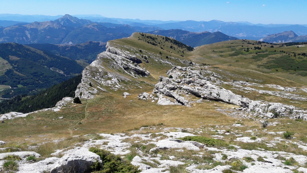
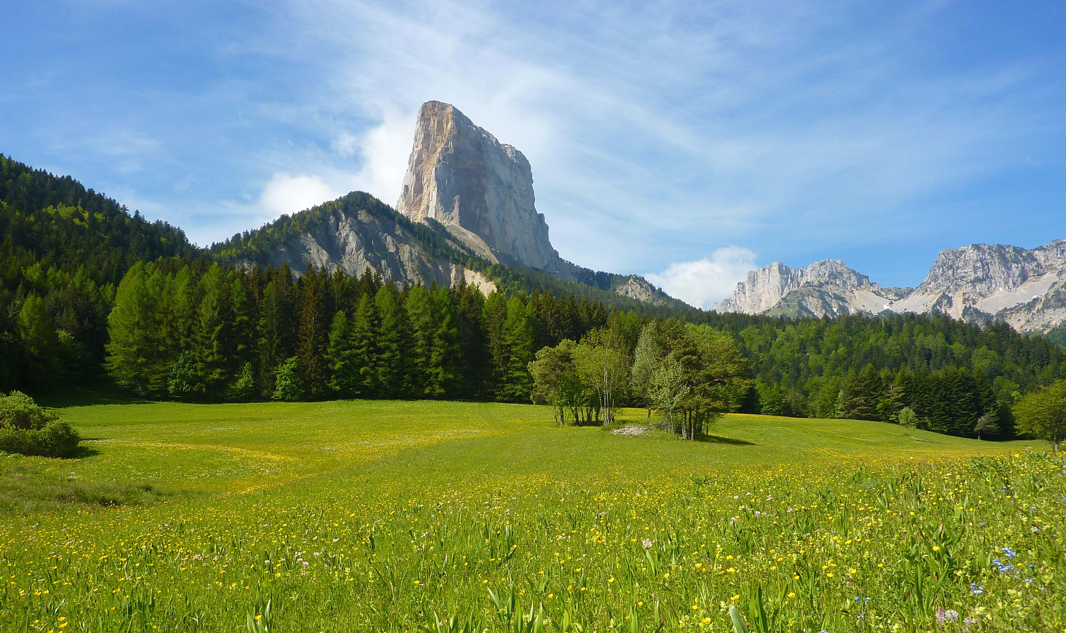
France > Auvergne-Rhône-Alpes > Drôme > Vercors Regional Natural Park
Length
8km
Duration
5h30min
Elev gain
811m
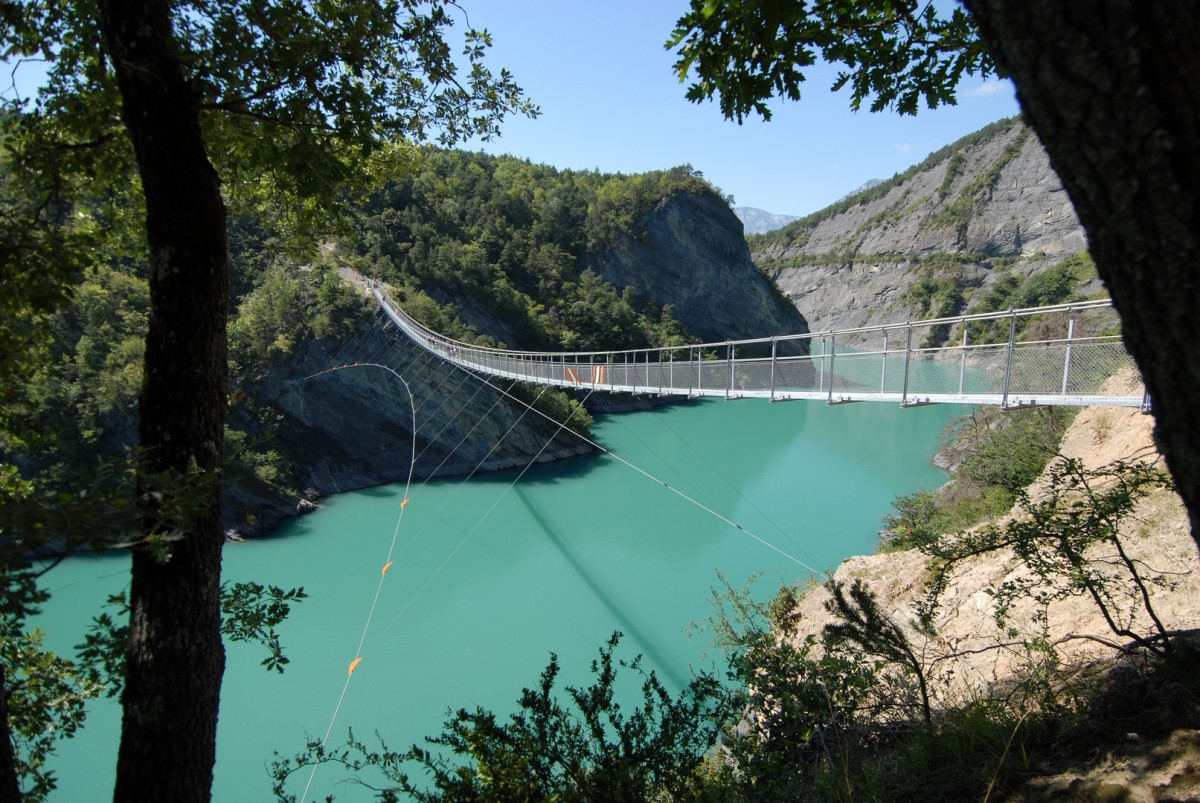
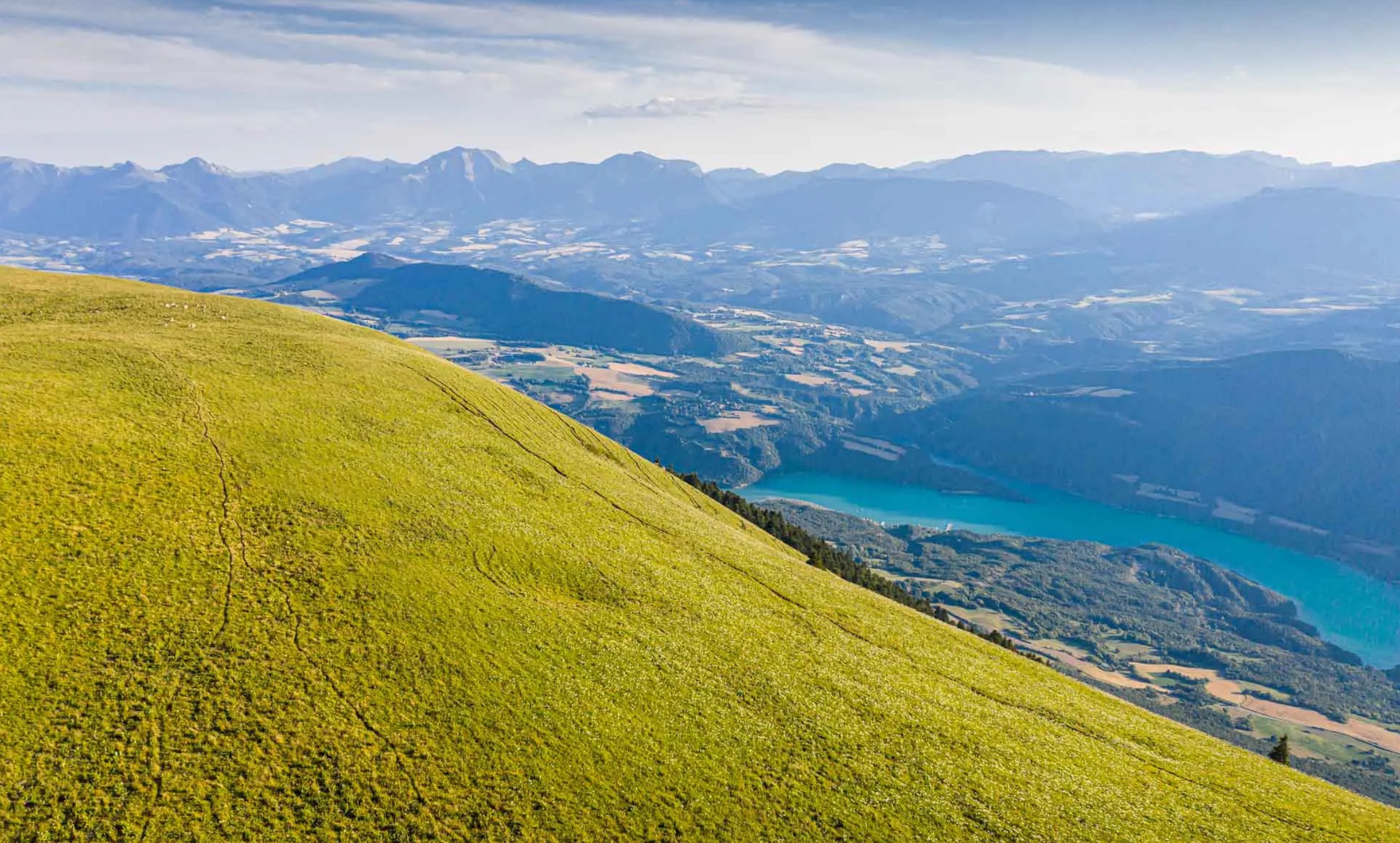
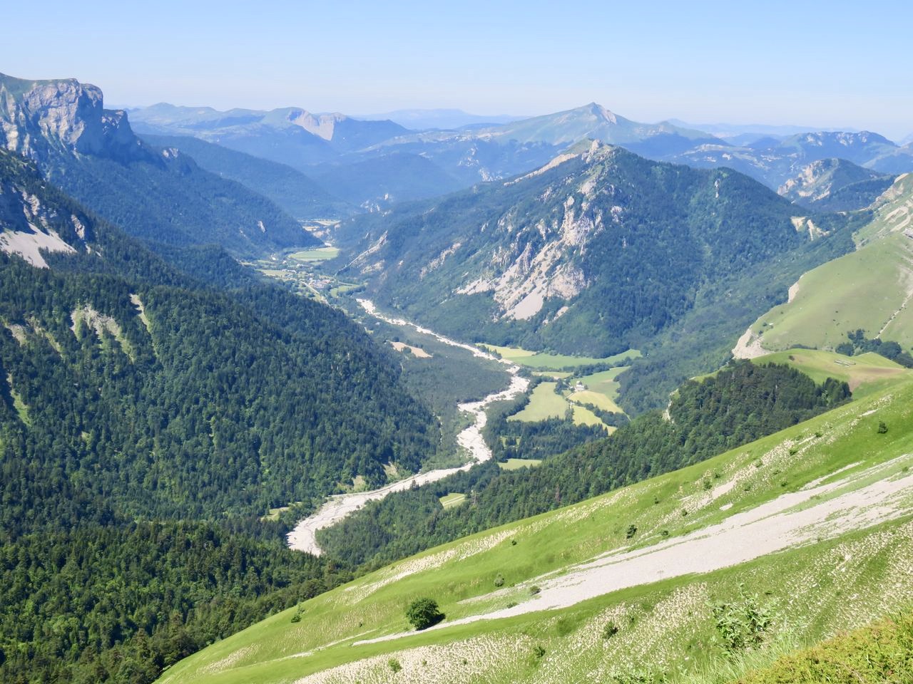
Hike on fairly steep slopes. The lake is modest, but the landscapes are magnificent and varied.

Already more than 200,000 users!
Uphill
811m
Highest point
2027m
Downhill
811m
Lowest point
1221m
Route type
Loop
Download the map on your smartphone to save battery and rest assured to always keep access to the route, even without signal.
Includes IGN France and Swisstopo.
I indicate whether dogs are allowed or prohibited on this trail
From May to September
0 ratings
Also enjoy:

Already more than 200,000 users!