Uphill
876m
Length
12km
Duration
6h
Elev gain
876m
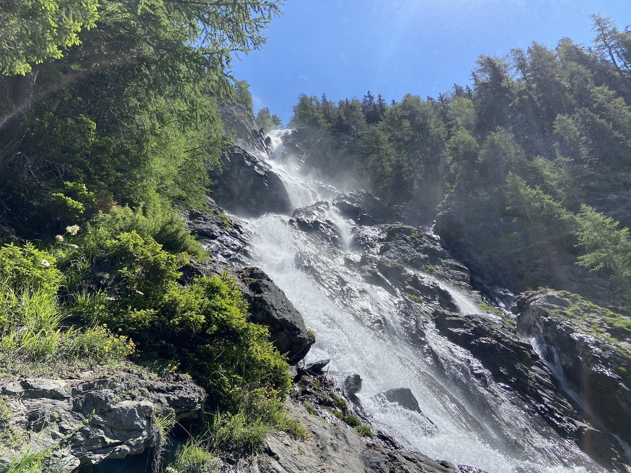
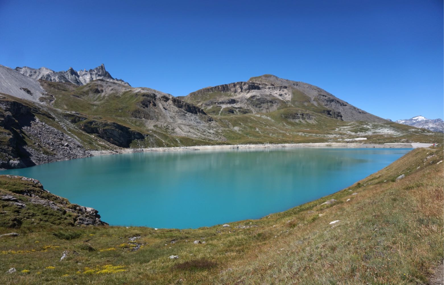
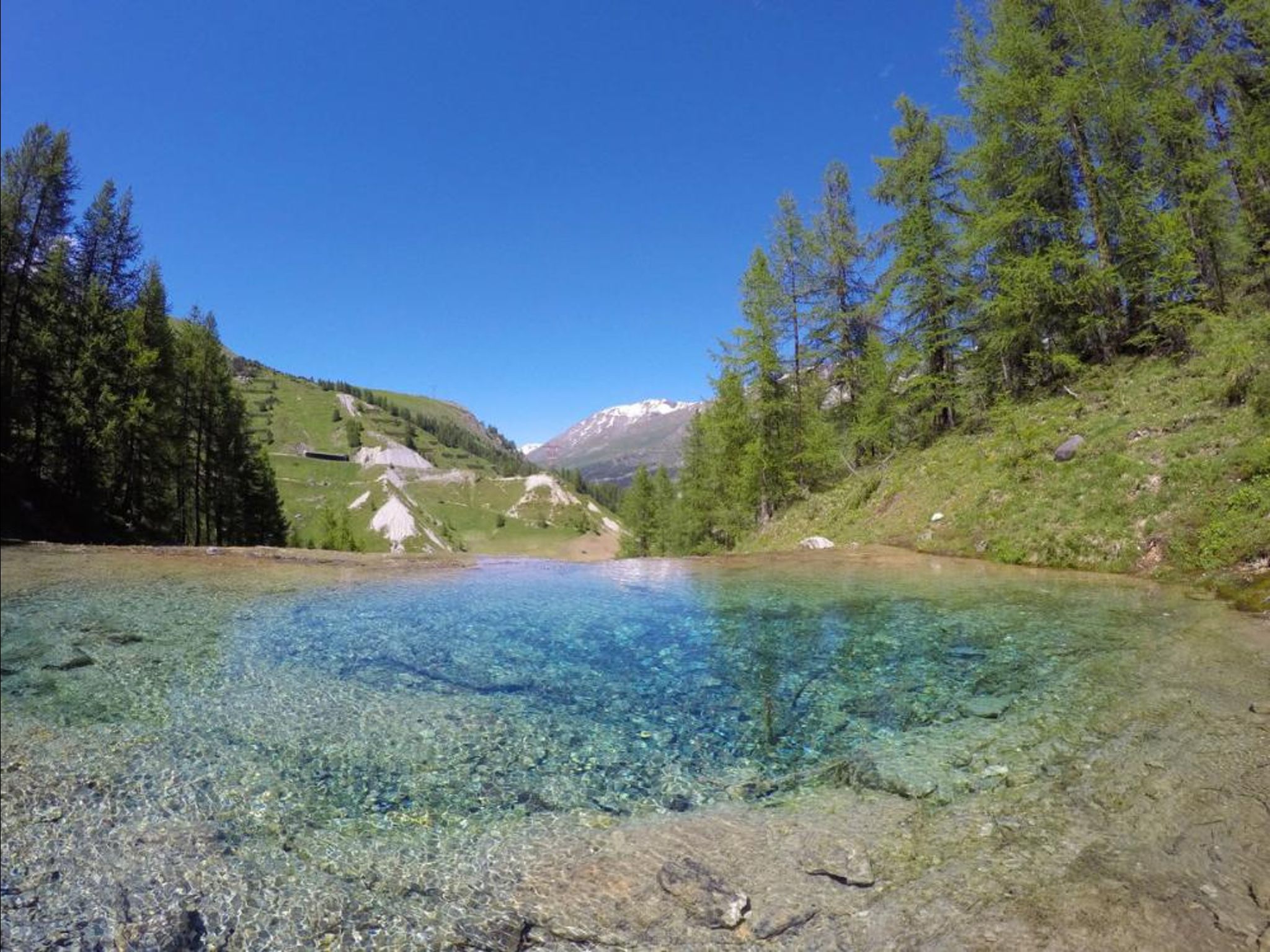
Departing from Sainte-Foy-Tarentaise, this hike leads to Lac Noir. The outward path passes by the Saint-Roch chapel before arriving at this beautiful lake at 2,483 meters.
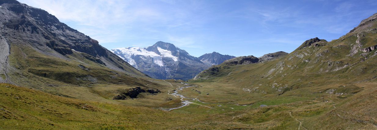
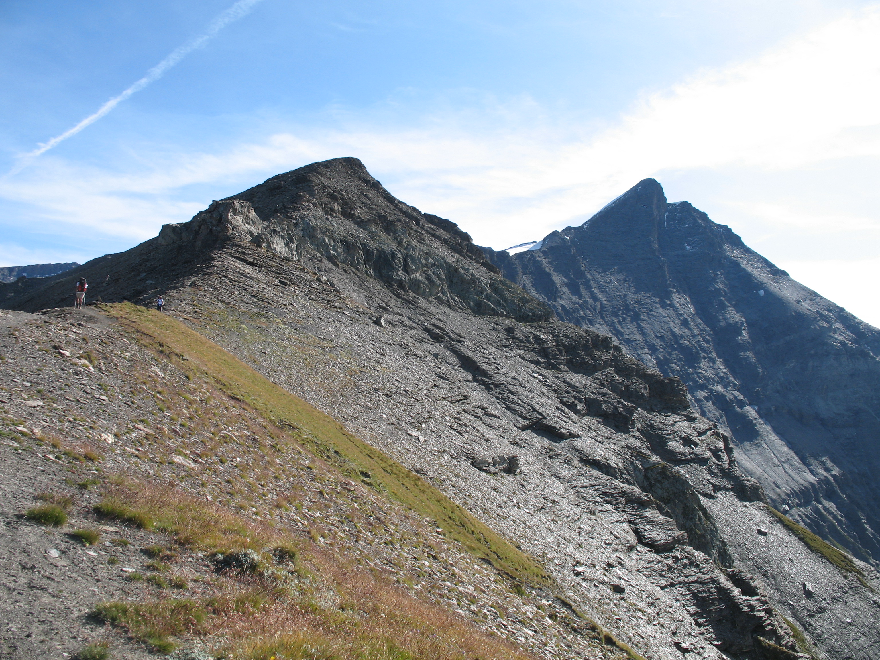
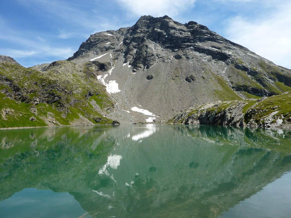
The path continues via the Col de Montséti (2,520 m) where it is possible to observe the sumptuous Italian side of Mont-Blanc.

Already more than 200,000 users!
Uphill
876m
Highest point
2549m
Downhill
876m
Lowest point
1708m
Route type
Loop
Download the map on your smartphone to save battery and rest assured to always keep access to the route, even without signal.
Includes IGN France and Swisstopo.
I indicate whether dogs are allowed or prohibited on this trail
From June to September
0 ratings
Also enjoy:

Already more than 200,000 users!