Uphill
1415m
Length
12km
Duration
9h
Elev gain
1415m
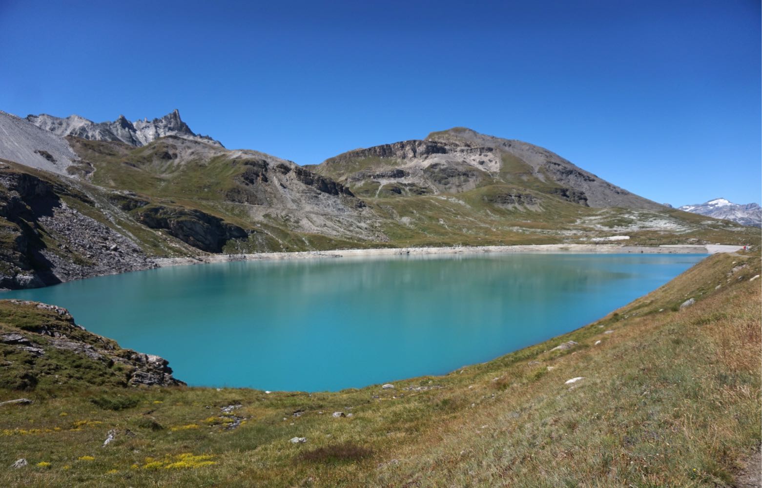
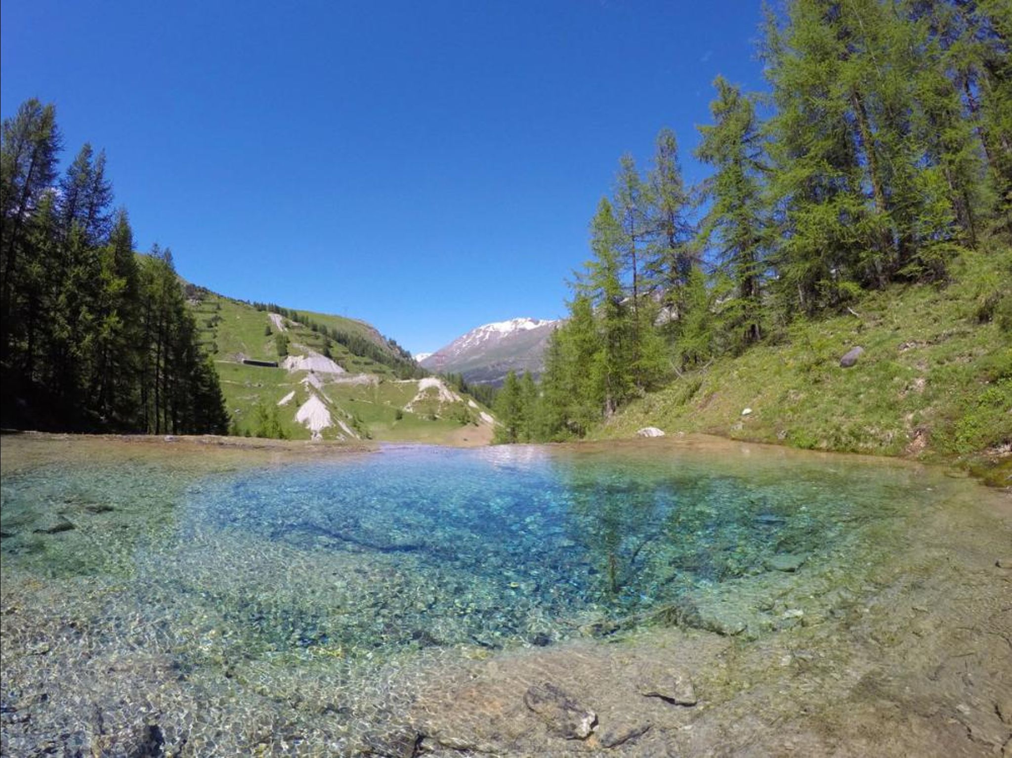
Departing from Lac du Saut, here is a high-mountain hike in the Grande Sassière nature reserve.
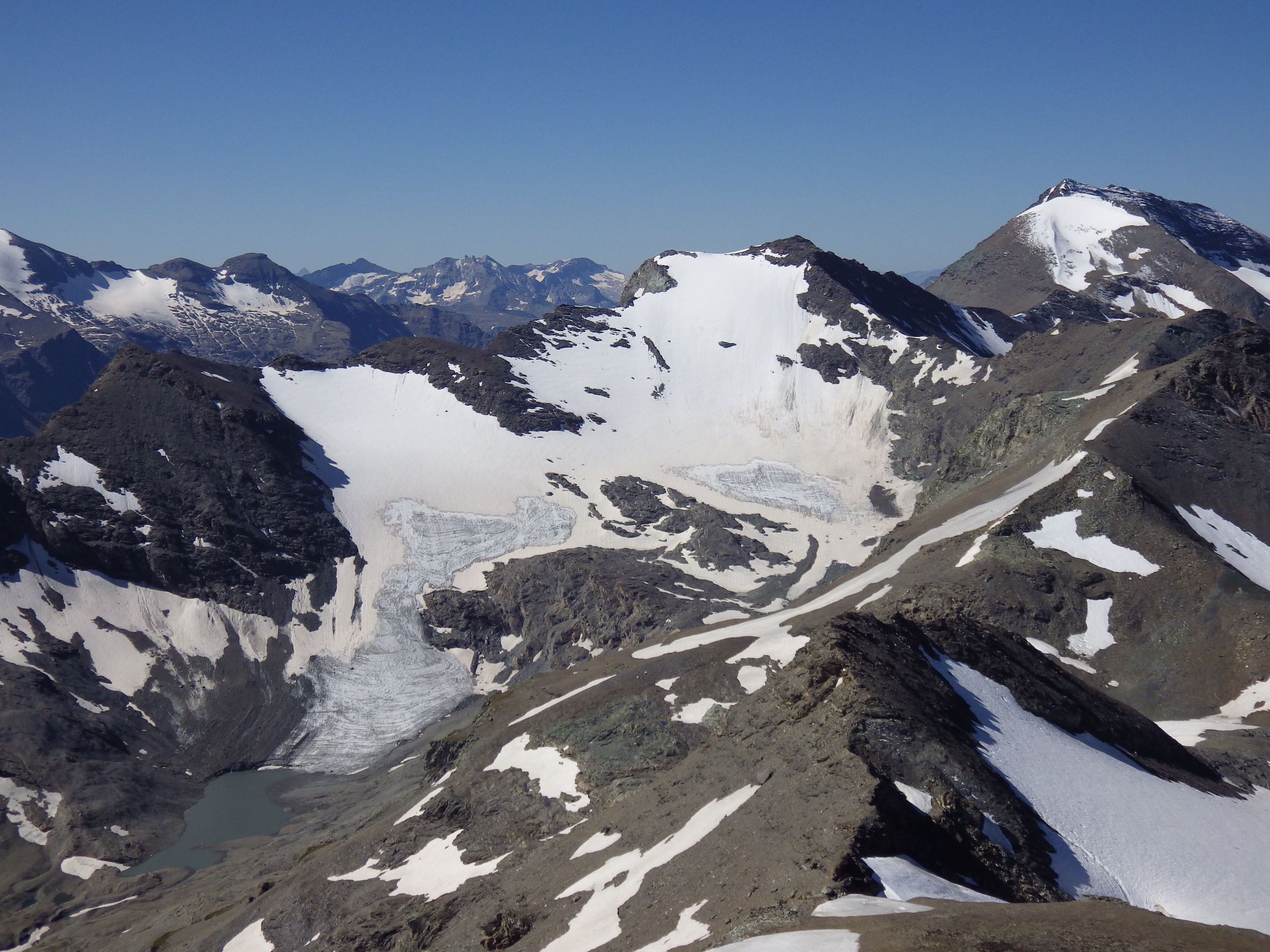
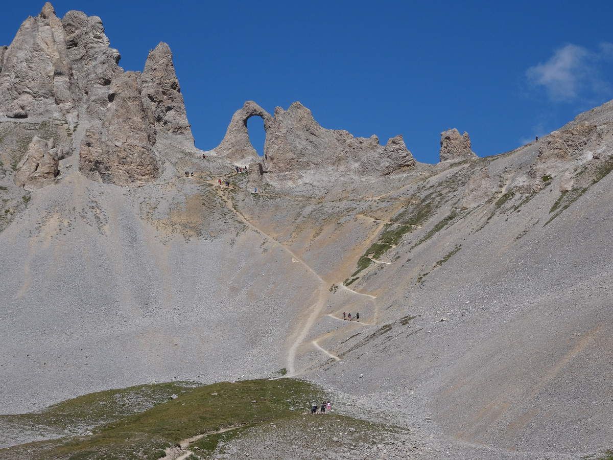
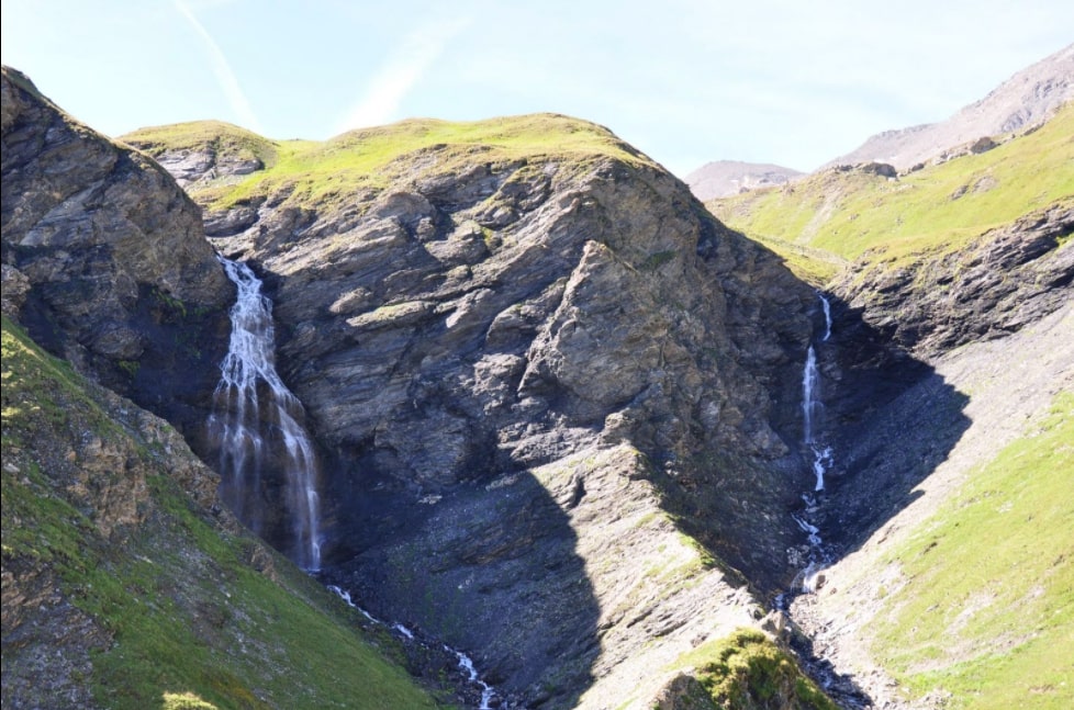
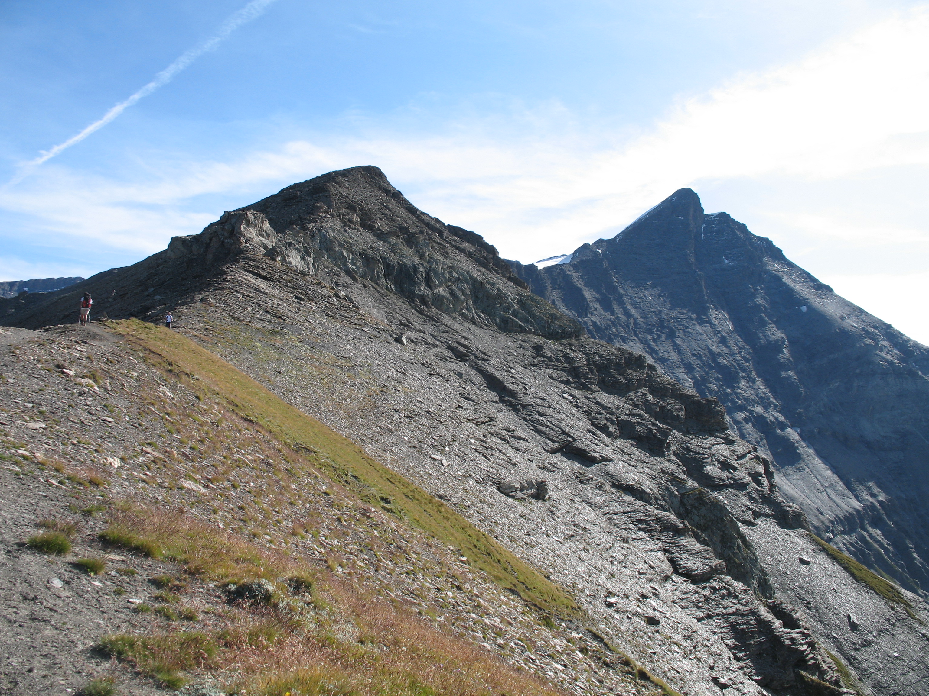
Difficult ascent along a ridge line with views of various lakes, glaciers, and other peaks of the massif. Several passages are technical and the last 400 meters are very steep. The reward at the top is extraordinary.

Already more than 200,000 users!
Uphill
1415m
Highest point
3701m
Downhill
1415m
Lowest point
2298m
Route type
There and back
Download the map on your smartphone to save battery and rest assured to always keep access to the route, even without signal.
Includes IGN France and Swisstopo.
I indicate whether dogs are allowed or prohibited on this trail
From June to September
1 rating
Also enjoy:

Already more than 200,000 users!