Uphill
1395m
Length
20km
Duration
10h
Elev gain
1395m
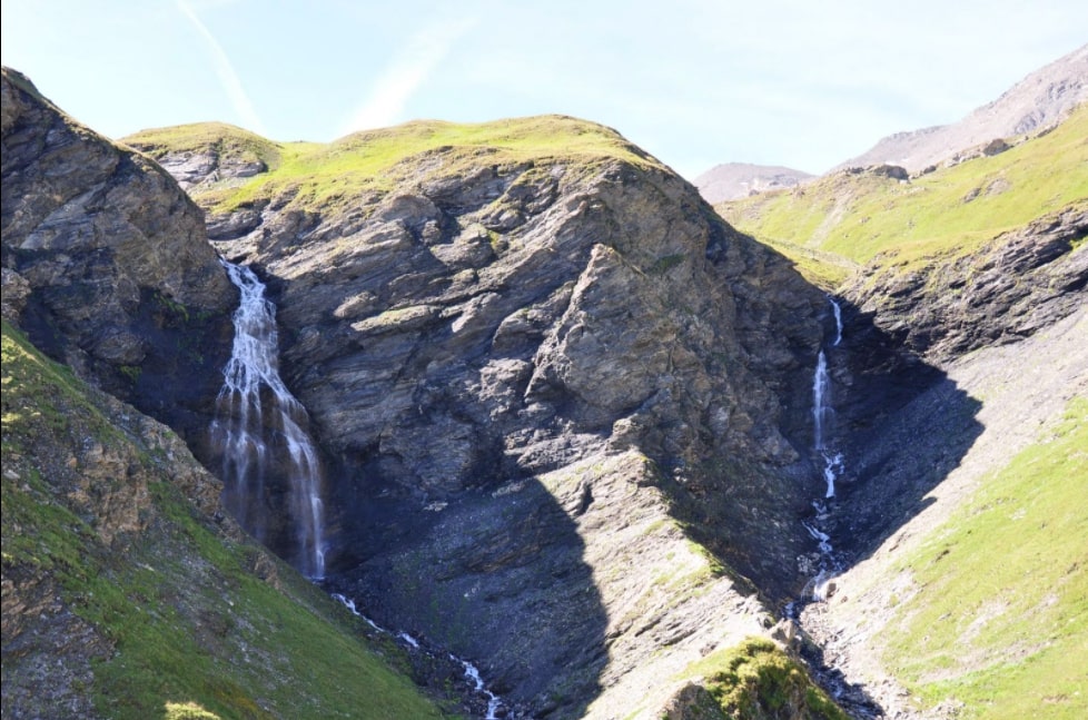
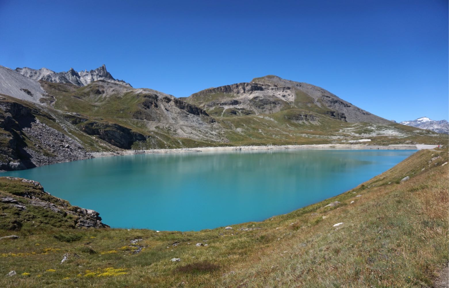
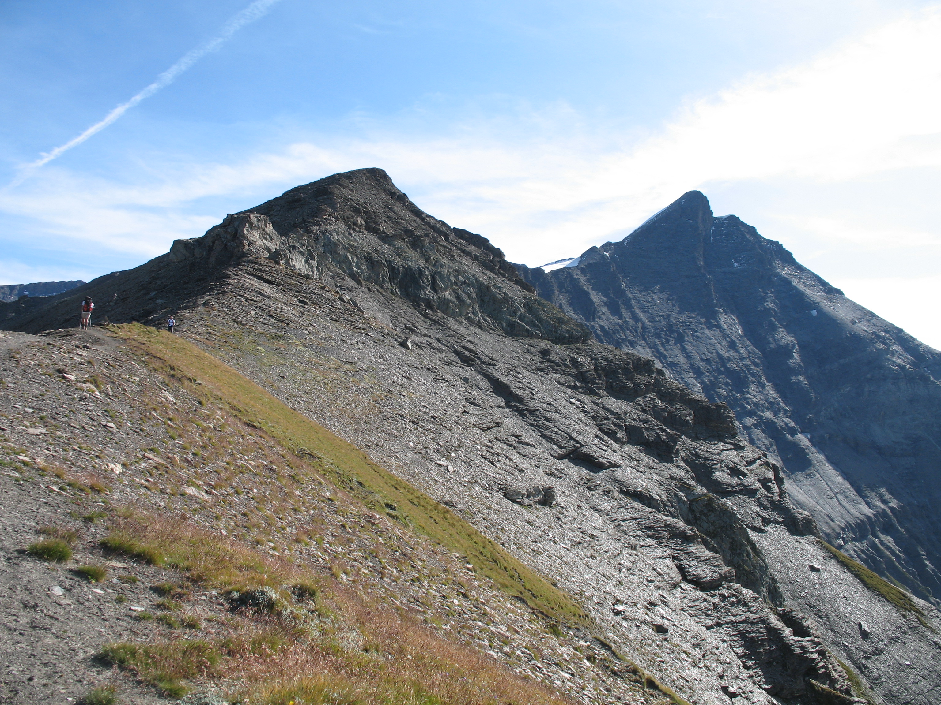
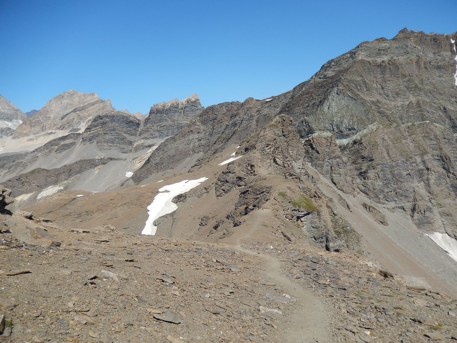
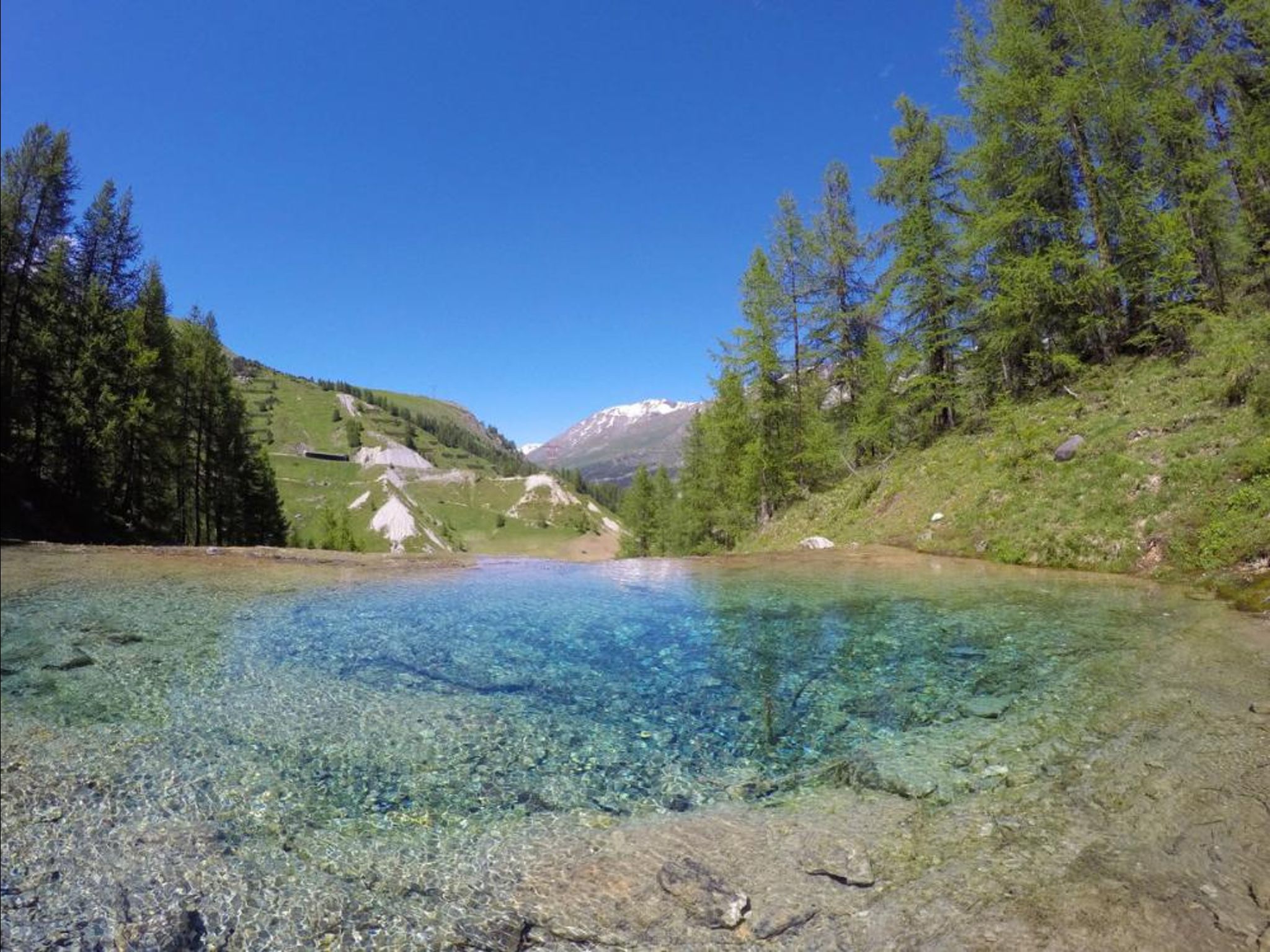
Long loop in the Manchet, with a summit at 3330 m.

Already more than 200,000 users!
Uphill
1395m
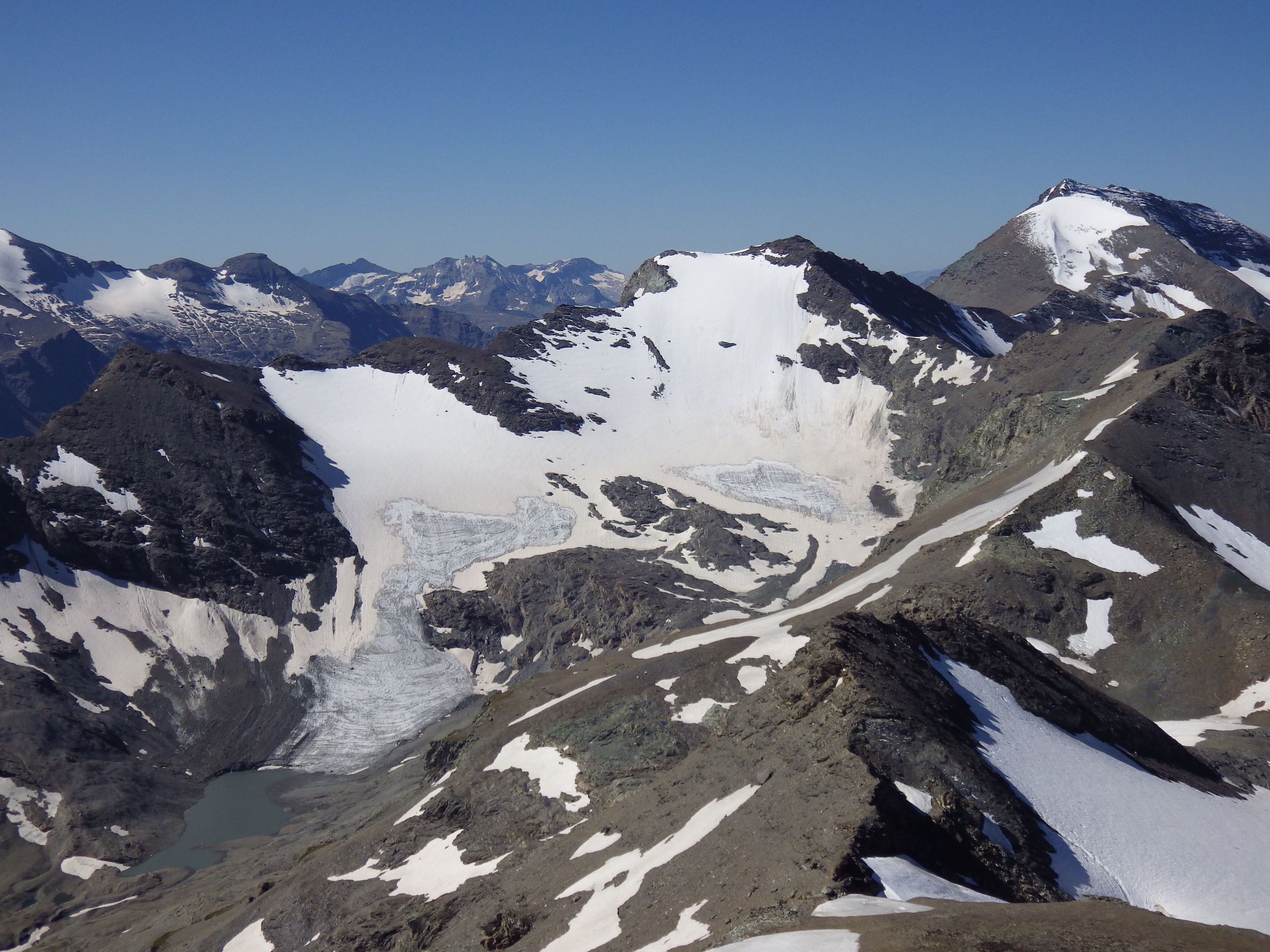
Highest point
3313m
Downhill
1395m
Lowest point
1933m
Route type
Loop
Download the map on your smartphone to save battery and rest assured to always keep access to the route, even without signal.
Includes IGN France and Swisstopo.
I indicate whether dogs are allowed or prohibited on this trail
From June to September
0 ratings
Also enjoy:

Already more than 200,000 users!