Uphill
313m
Length
7km
Duration
2h30min
Elev gain
313m
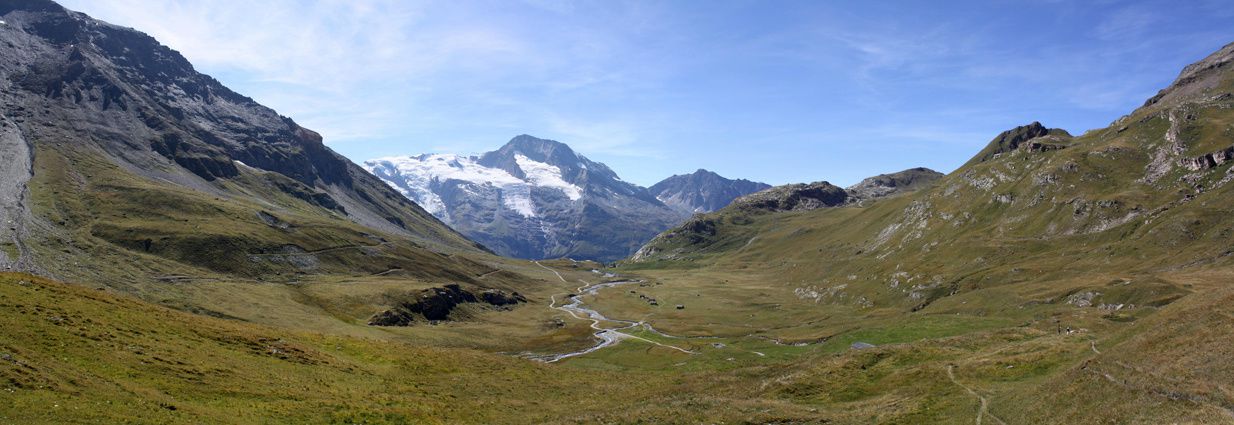
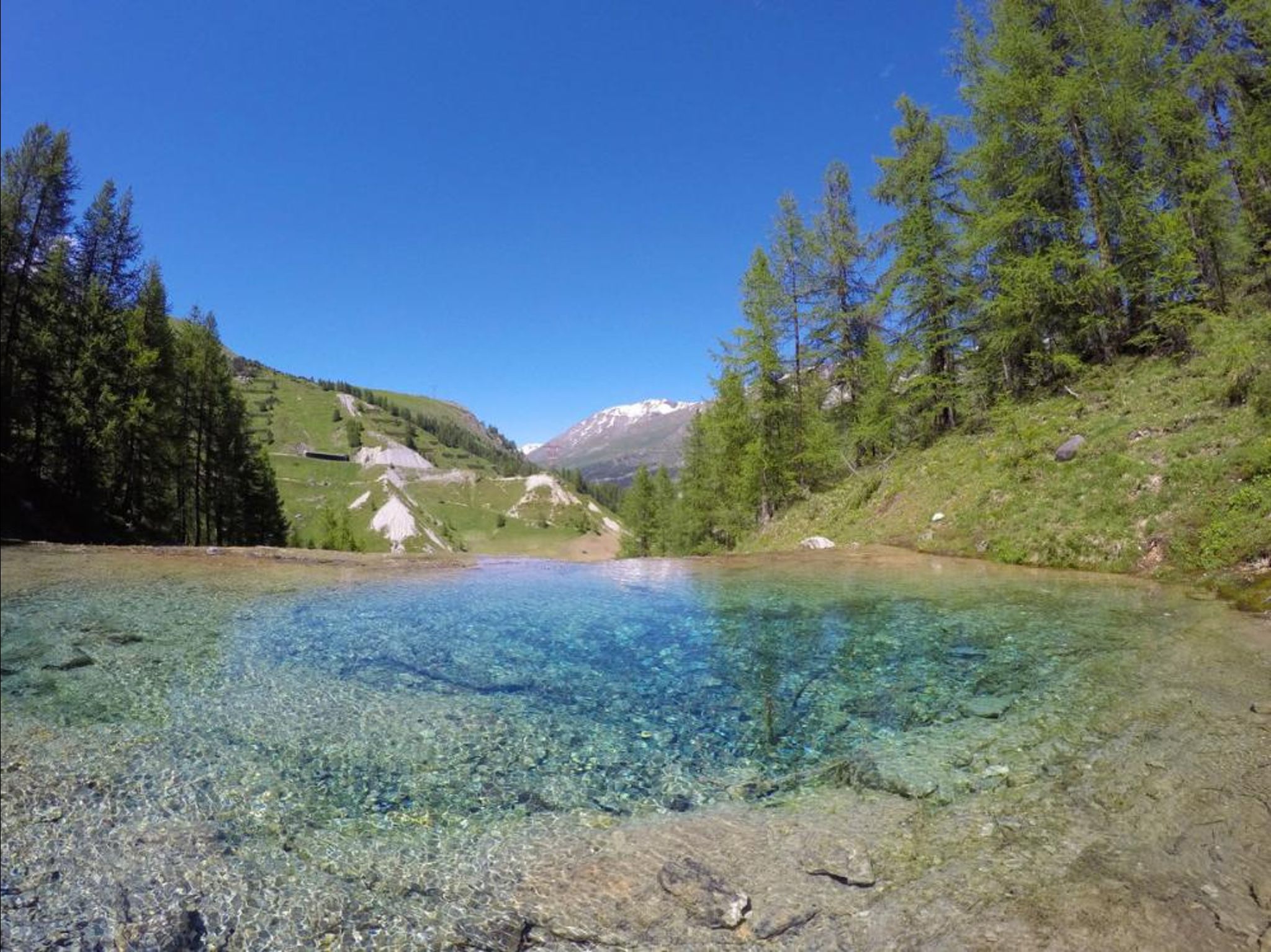
Departing from Tignes, this path joins the Gouille de Salin, a small lake with crystal clear water. The route continues through the forest in the Laye woods, to the Chevril lake.

Already more than 200,000 users!
Uphill
313m
Highest point
2091m
Downhill
313m
Lowest point
1793m
Route type
Loop
Download the map on your smartphone to save battery and rest assured to always keep access to the route, even without signal.
Includes IGN France and Swisstopo.
I indicate whether dogs are allowed or prohibited on this trail
From May to September
2 ratings
Also enjoy:

Already more than 200,000 users!