Uphill
644m
Length
7km
Duration
4h30min
Elev gain
644m
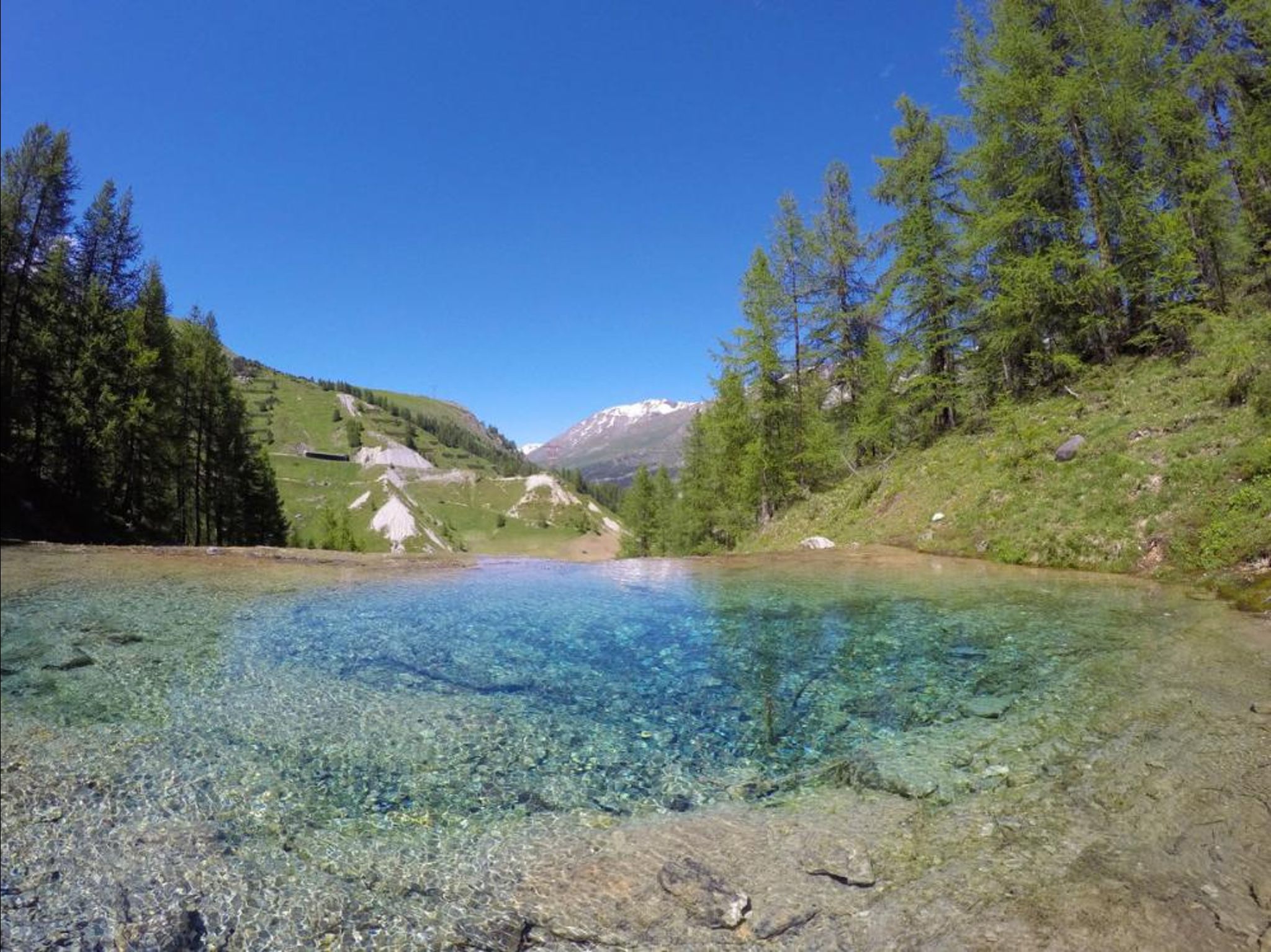
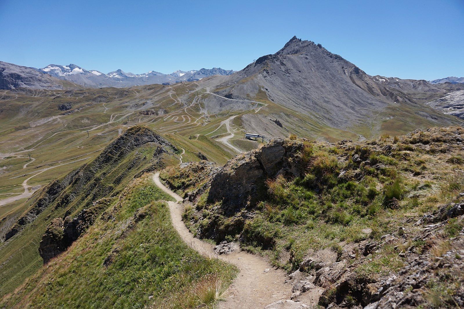
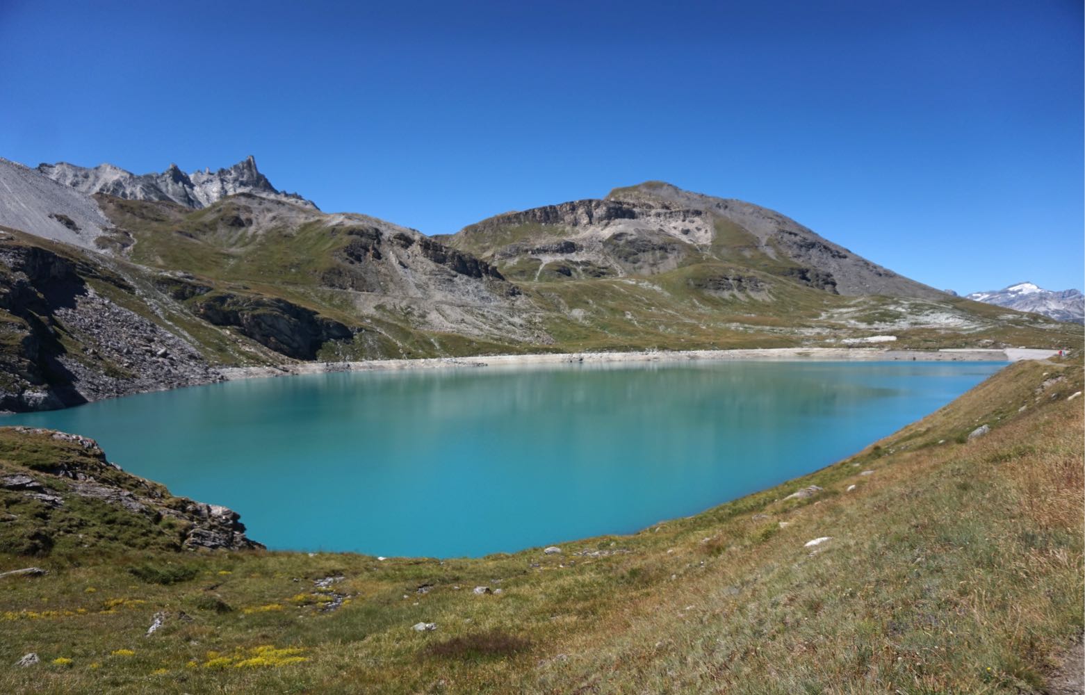
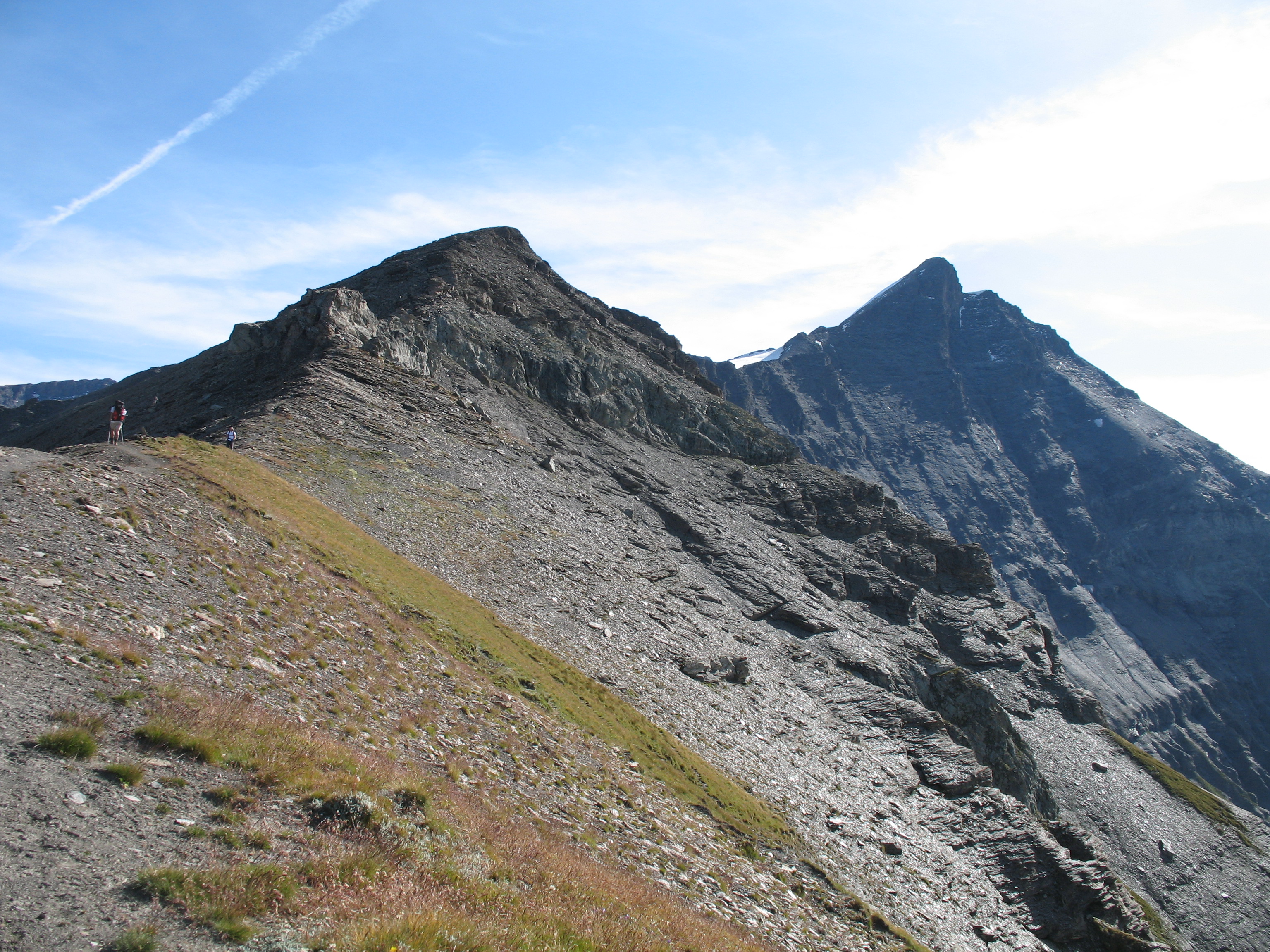
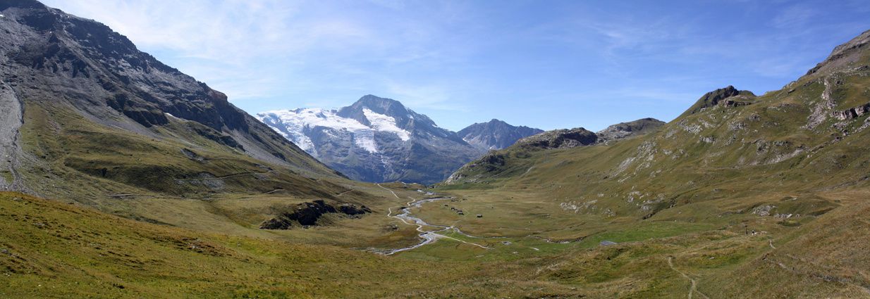
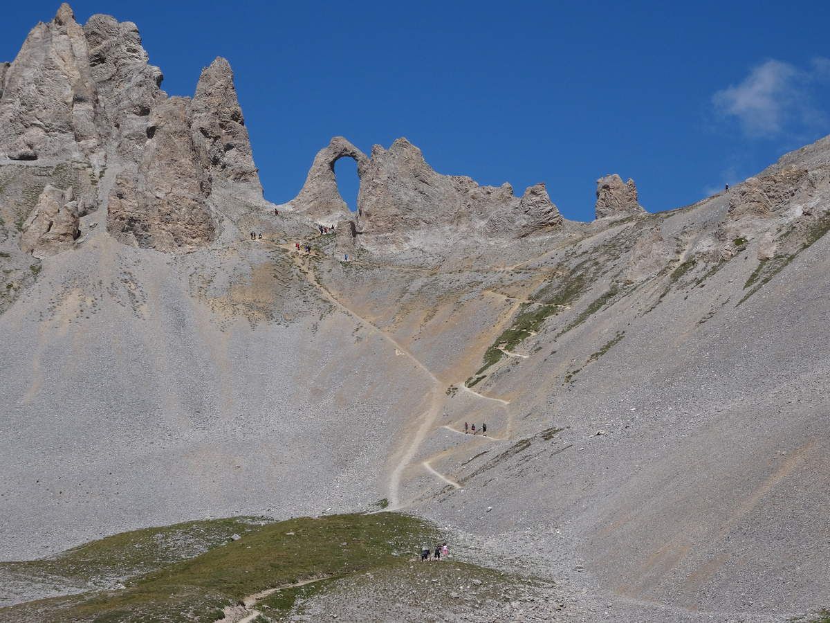
Departing from Tignes-le Lac, this is a trail leading to the Aiguille Percée, a fairly spectacular geological curiosity. The summit offers a magnificent view, up to Mont Blanc in good weather.
Note the presence of ski lifts.

Already more than 200,000 users!
Uphill
644m
Highest point
2732m
Downhill
644m
Lowest point
2092m
Route type
Loop
Download the map on your smartphone to save battery and rest assured to always keep access to the route, even without signal.
Includes IGN France and Swisstopo.
I indicate whether dogs are allowed or prohibited on this trail
From June to September
0 ratings
Also enjoy:

Already more than 200,000 users!