Uphill
185m
Length
7km
Duration
2h
Elev gain
185m
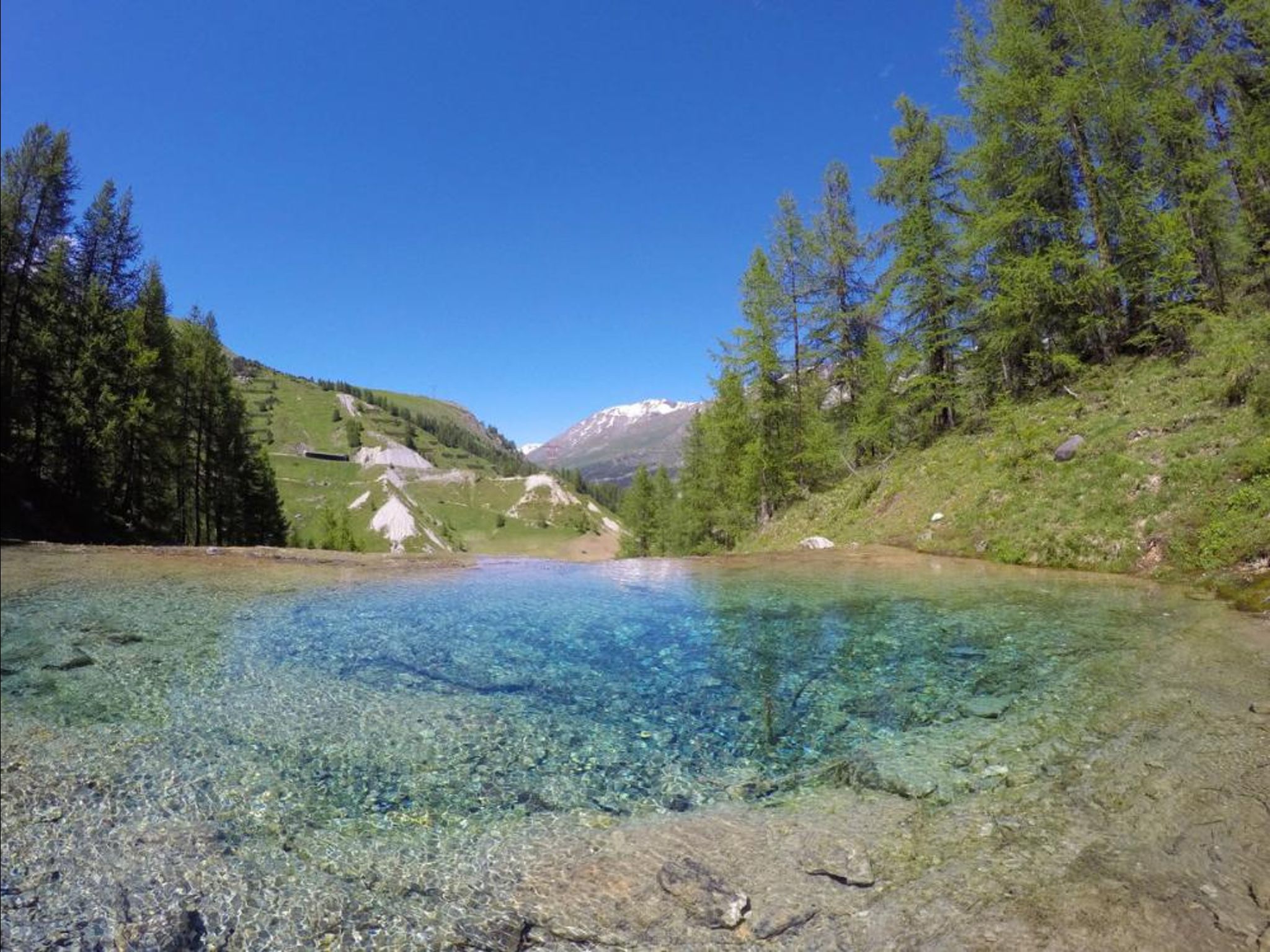
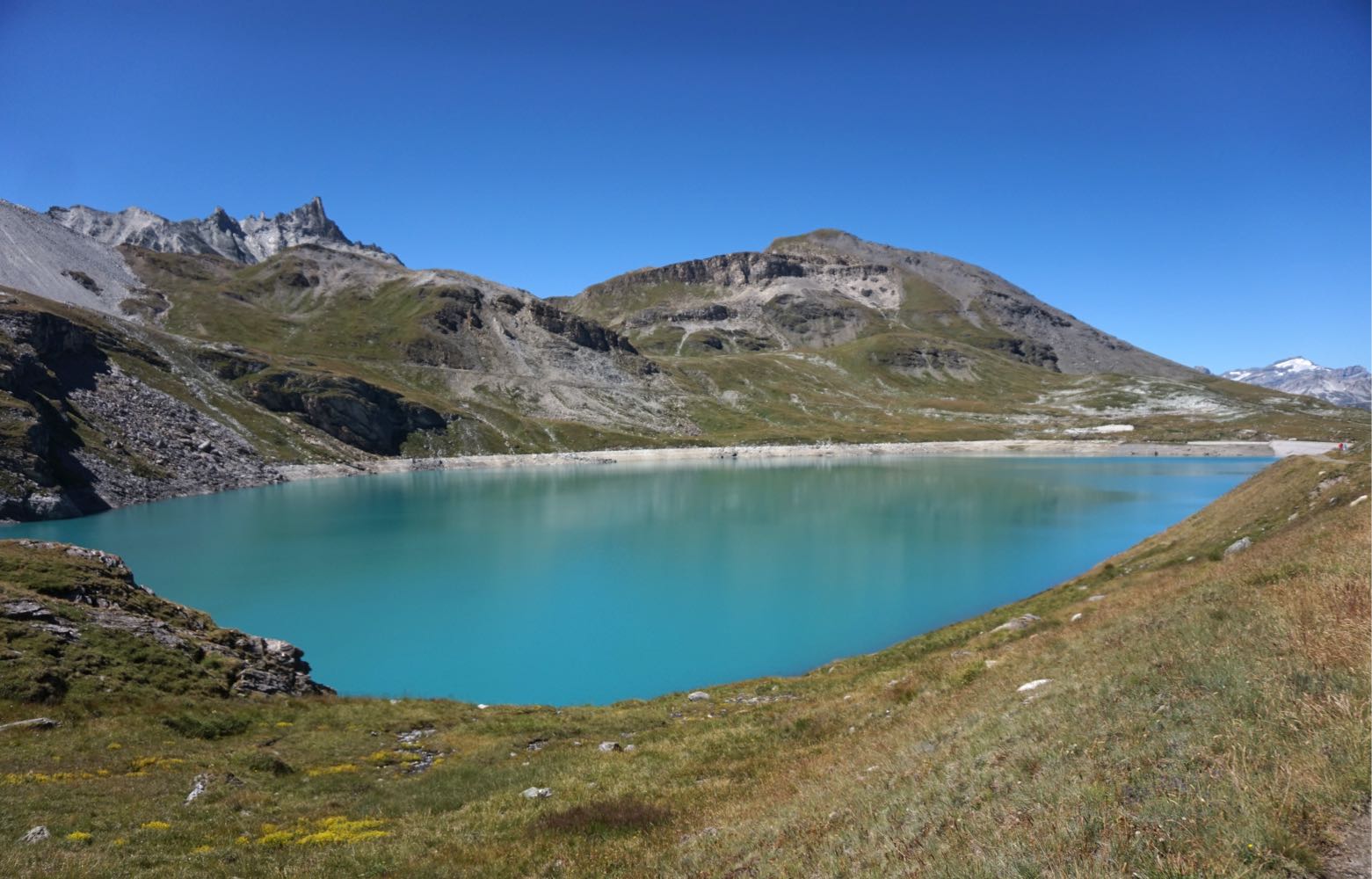
Departing from Lac du Saut, this walk joins Lac de la Sassière via a wide and easy path. The return is in the forest, on a more winding path.
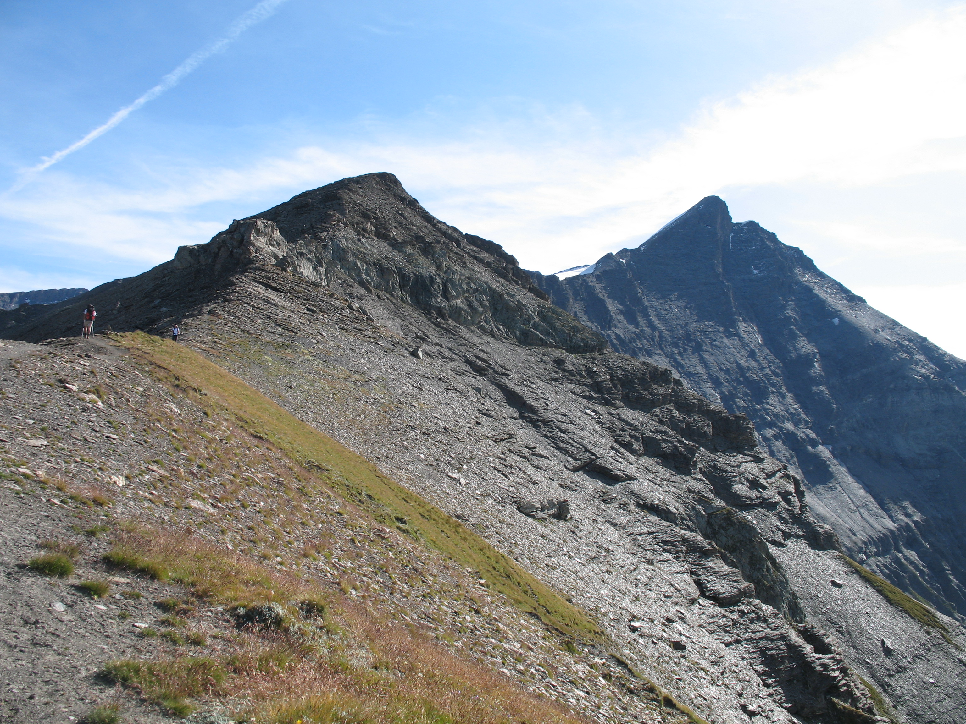
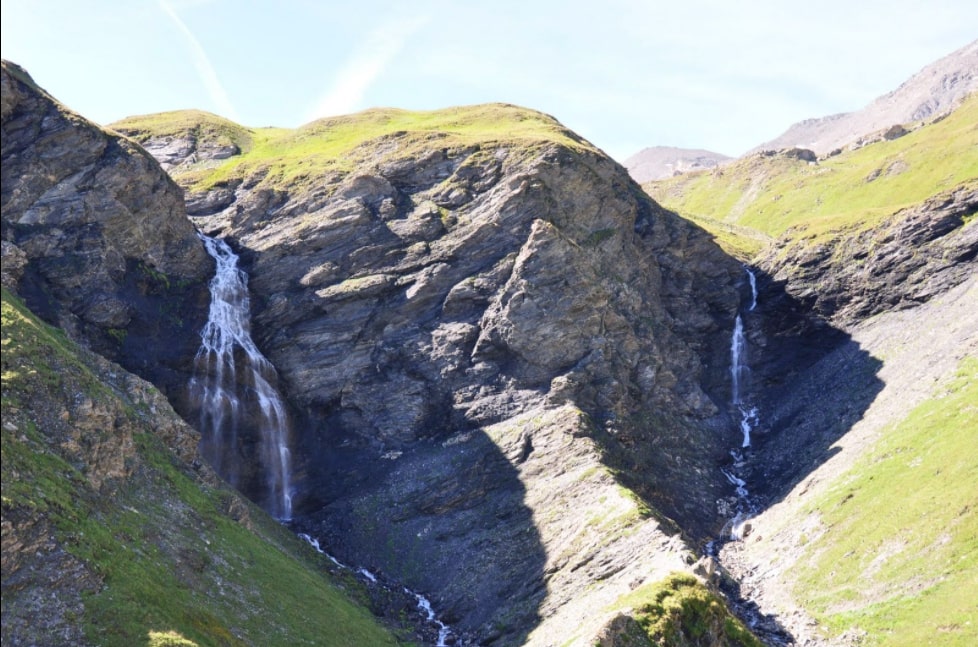
Keep your eyes open: marmots and chamois are frequently visible on this course.

Already more than 200,000 users!
Uphill
185m
Highest point
2482m
Downhill
185m
Lowest point
2287m
Route type
Loop
Download the map on your smartphone to save battery and rest assured to always keep access to the route, even without signal.
Includes IGN France and Swisstopo.
I indicate whether dogs are allowed or prohibited on this trail
From June to September
0 ratings
Also enjoy:

Already more than 200,000 users!