Uphill
555m
Length
9km
Duration
4h
Elev gain
555m
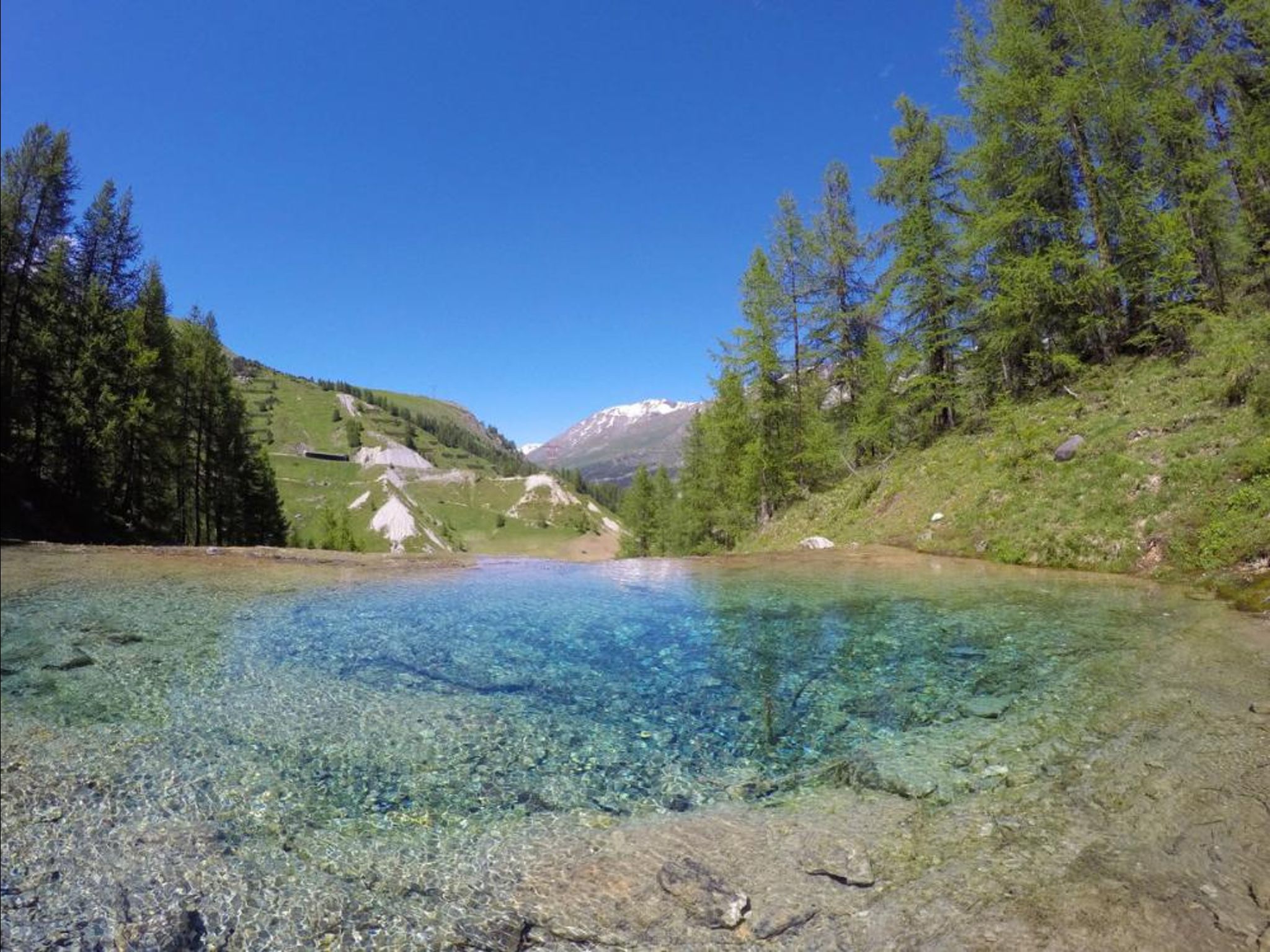
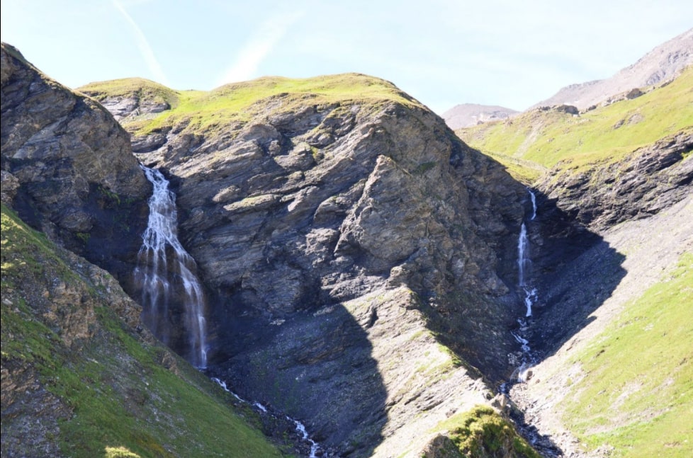
Located on Mont Roup, this beautiful hike runs along the Charvet then Pisset streams, in the heart of meadows populated by marmots. The Saut du Pisset waterfalls are very pretty.

Already more than 200,000 users!
Uphill
555m
Highest point
2493m
Downhill
555m
Lowest point
1966m
Route type
There and back
Download the map on your smartphone to save battery and rest assured to always keep access to the route, even without signal.
Includes IGN France and Swisstopo.
I indicate whether dogs are allowed or prohibited on this trail
From June to September
0 ratings
Also enjoy:

Already more than 200,000 users!