Uphill
854m
Length
12km
Duration
6h
Elev gain
854m
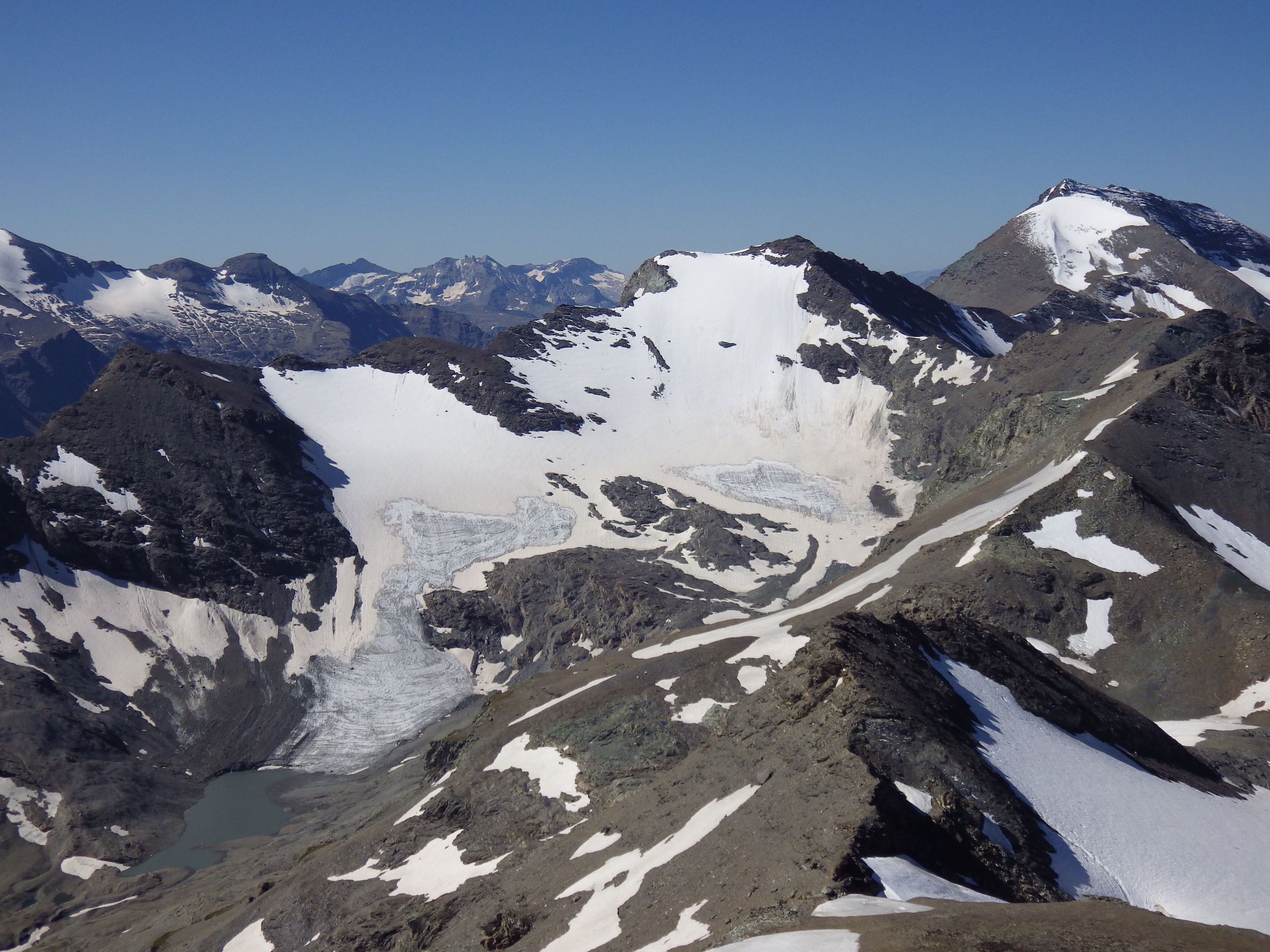
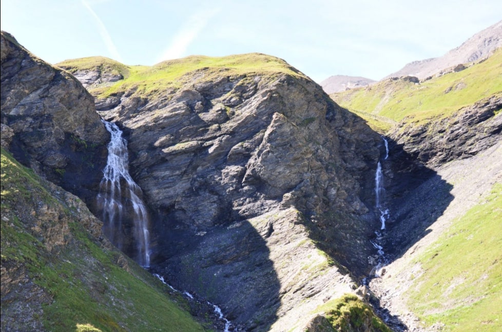
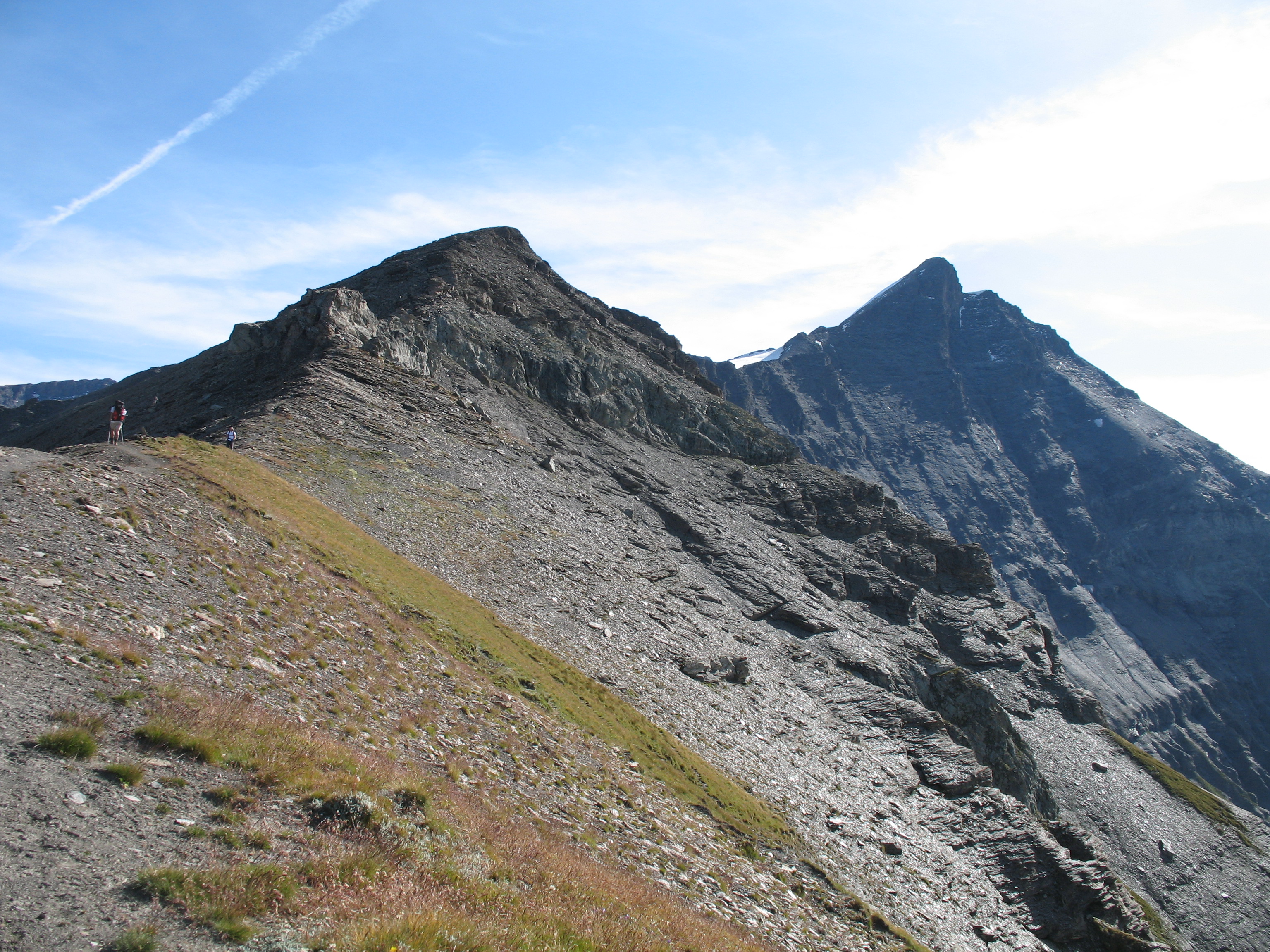
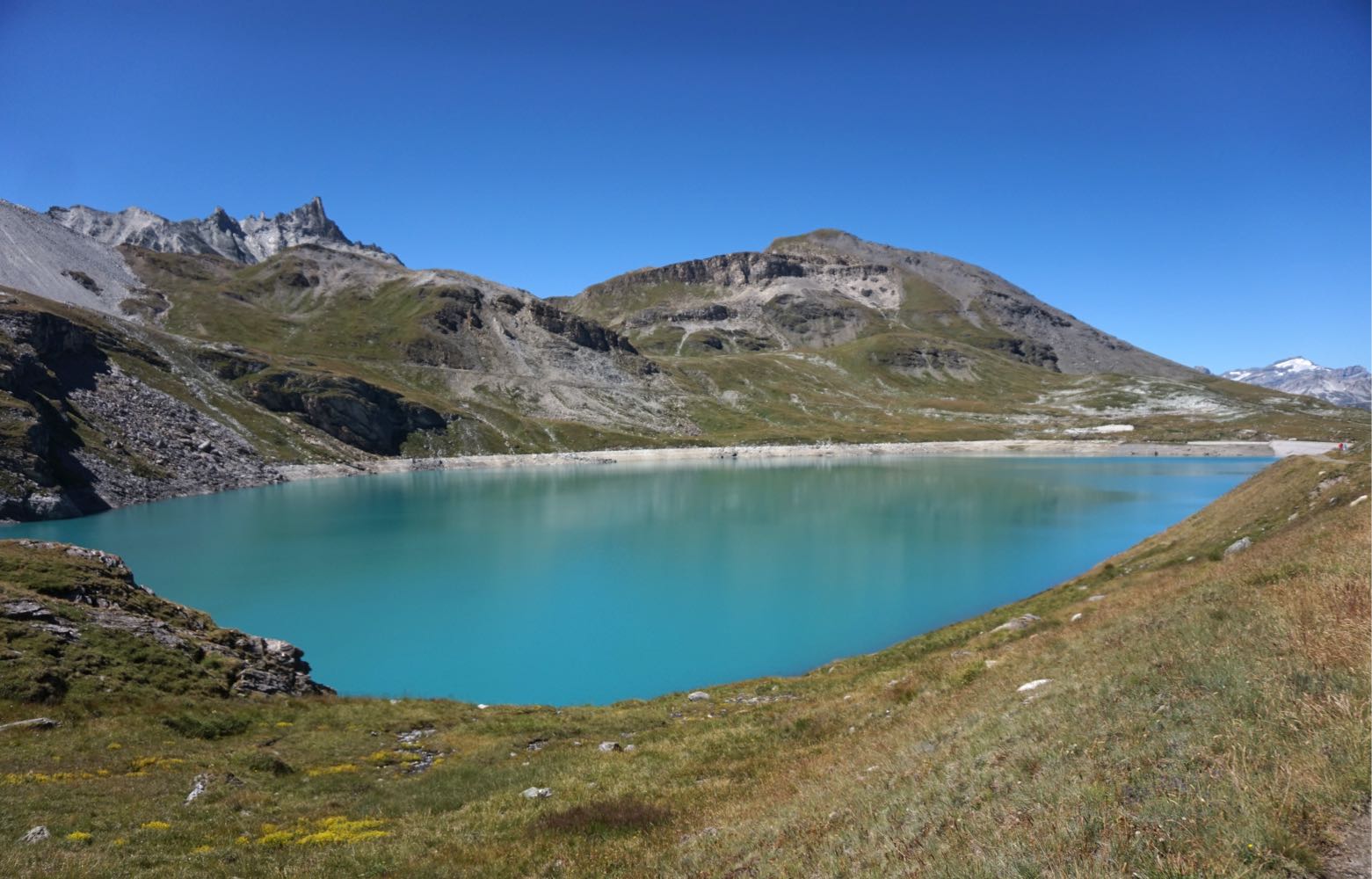
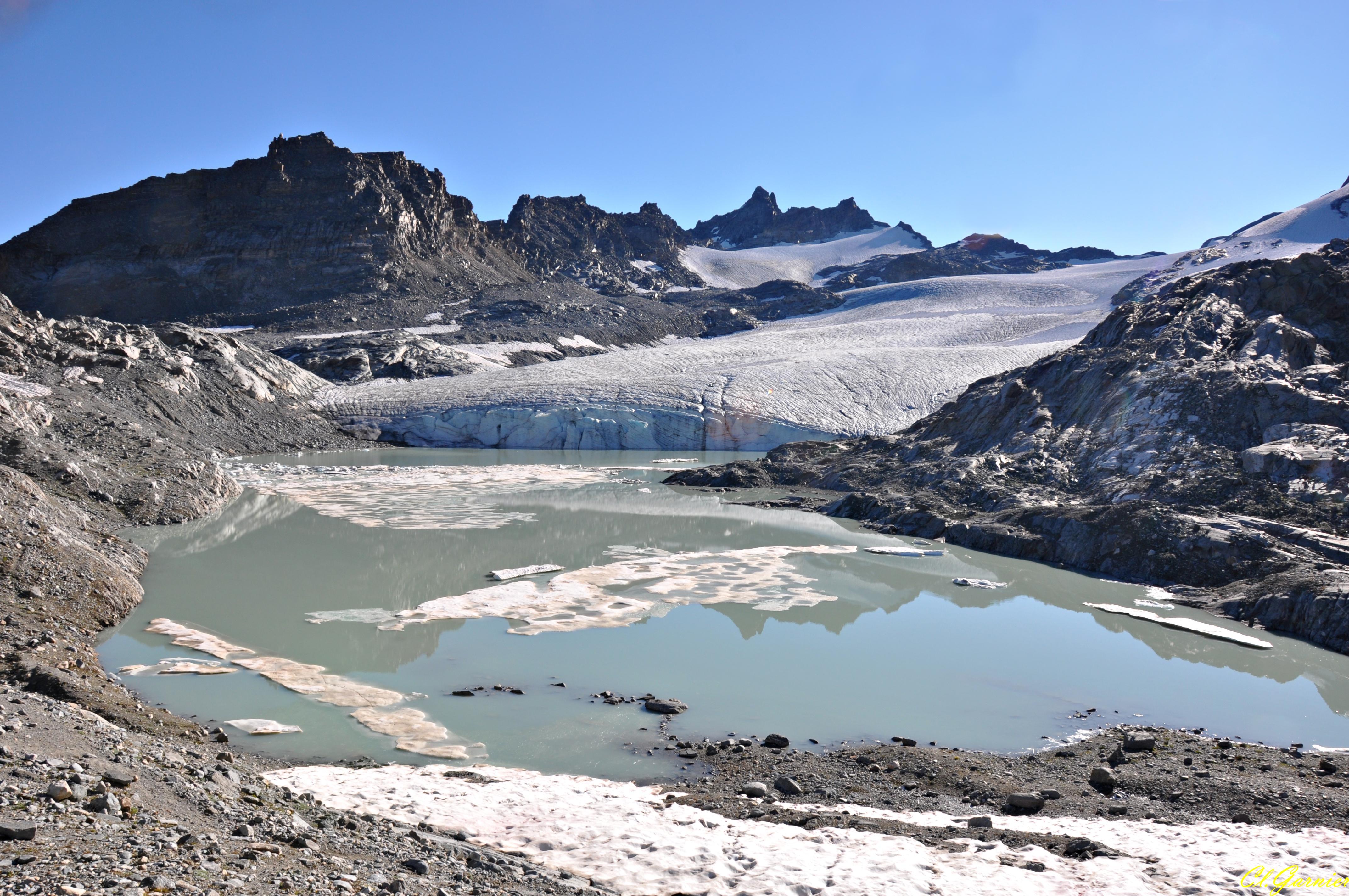
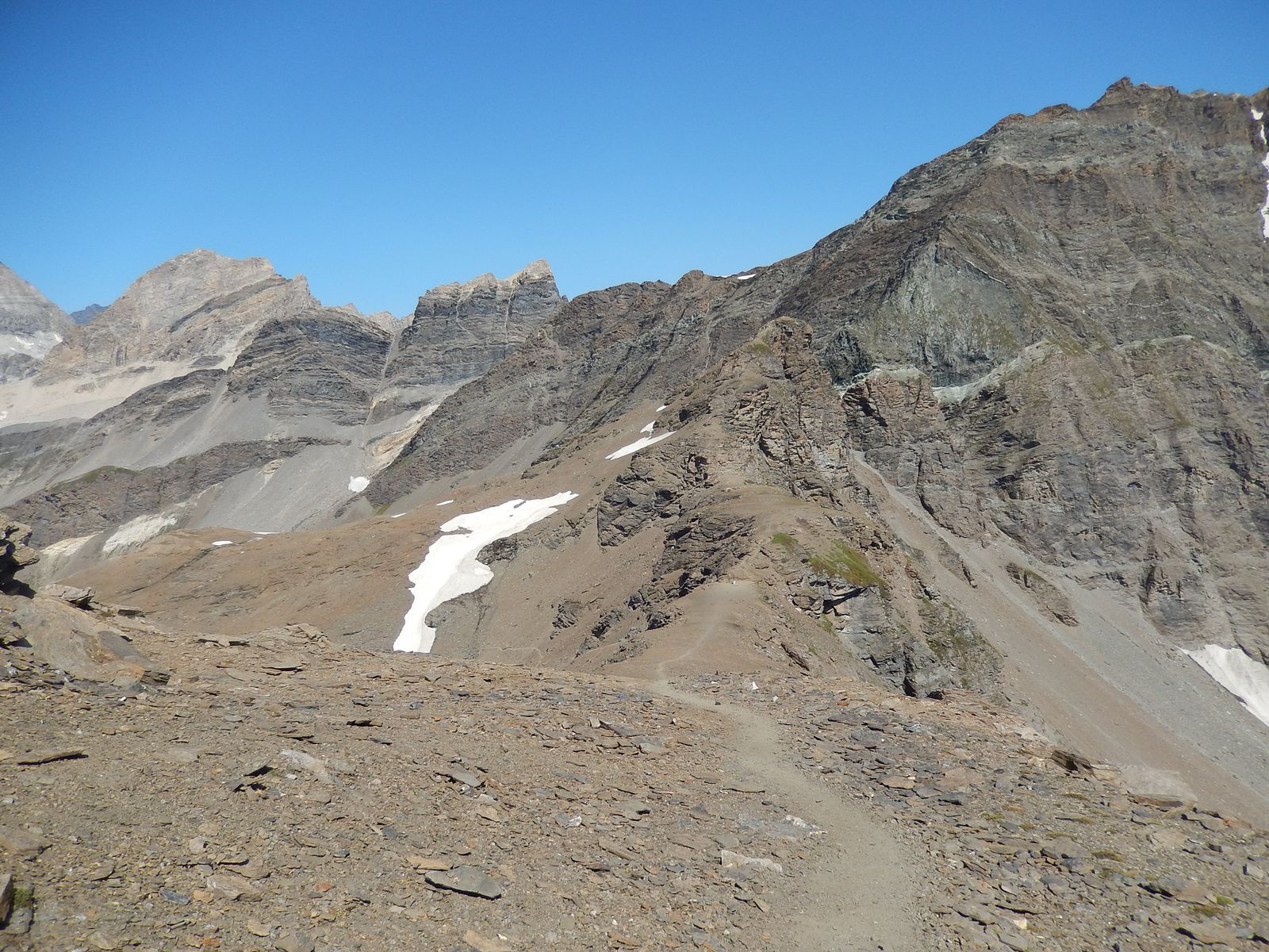
In the heart of the Vanoise, this route leads to the Col de Lose. The ascent is demanding but once at the top, the panorama is splendid. Chamois and marmots can be seen during the hike.

Already more than 200,000 users!
Uphill
854m
Highest point
2930m
Downhill
854m
Lowest point
2069m
Route type
There and back
Download the map on your smartphone to save battery and rest assured to always keep access to the route, even without signal.
Includes IGN France and Swisstopo.
I indicate whether dogs are allowed or prohibited on this trail
From June to September
0 ratings
Also enjoy:

Already more than 200,000 users!