Uphill
578m
France > Auvergne-Rhône-Alpes > Savoie
Length
9km
Duration
4h
Elev gain
578m
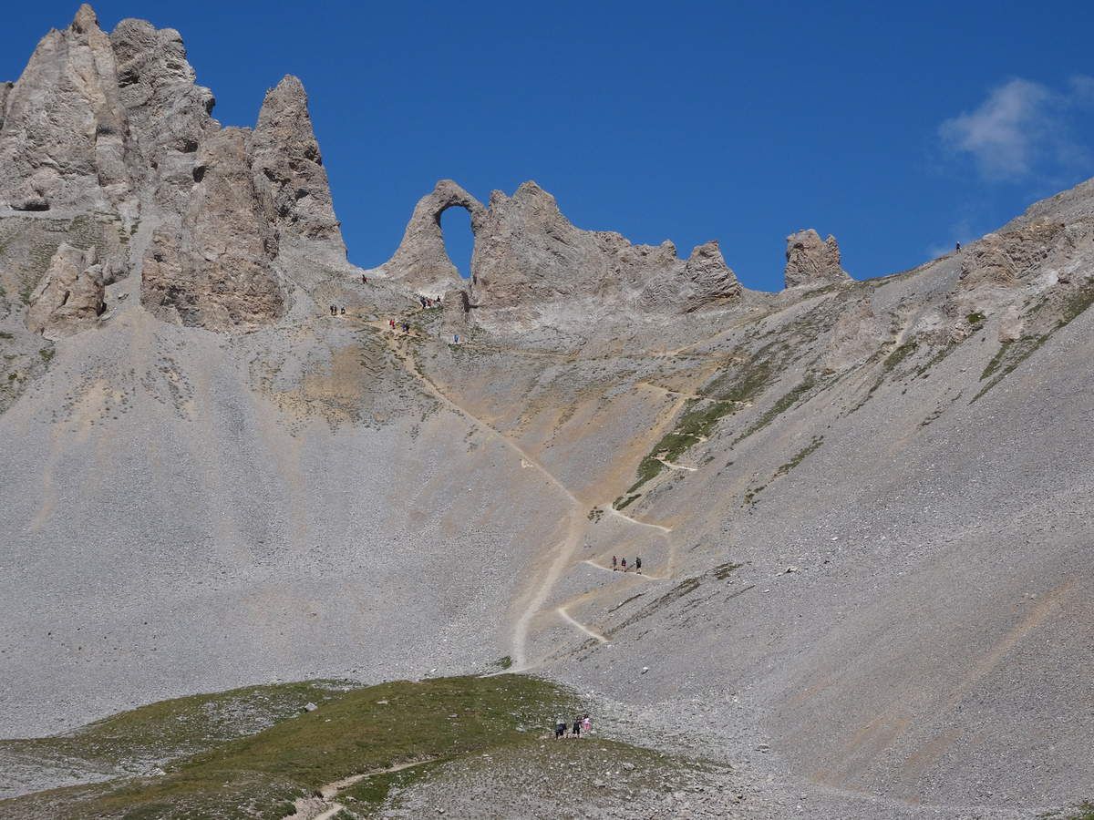
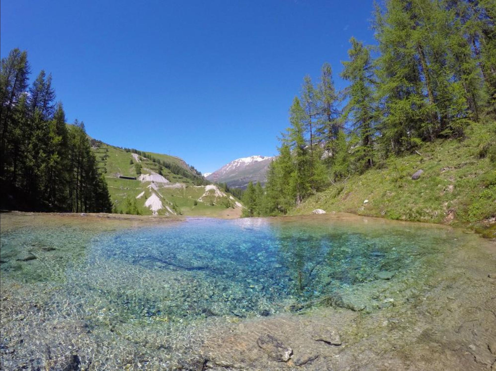
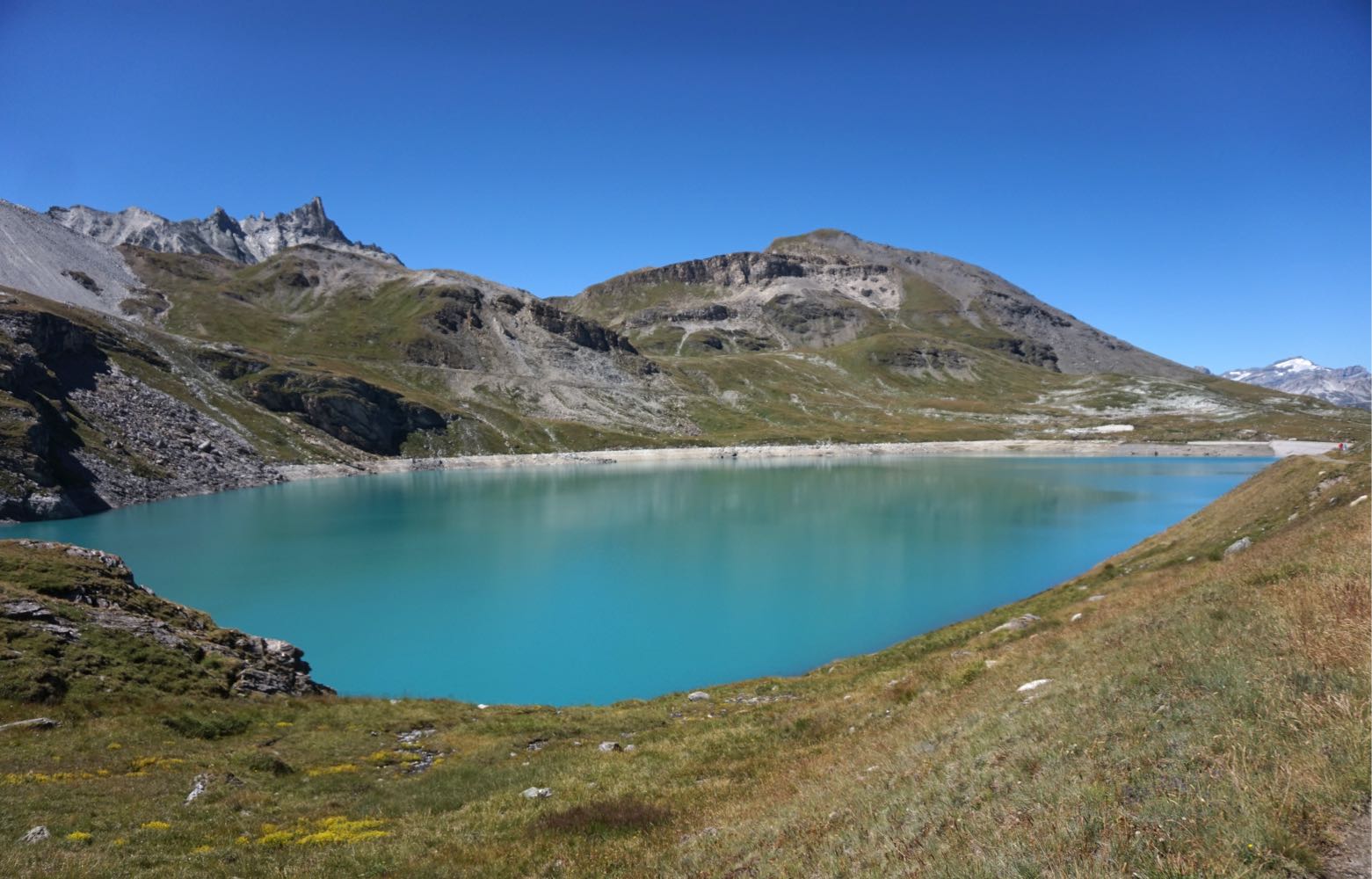
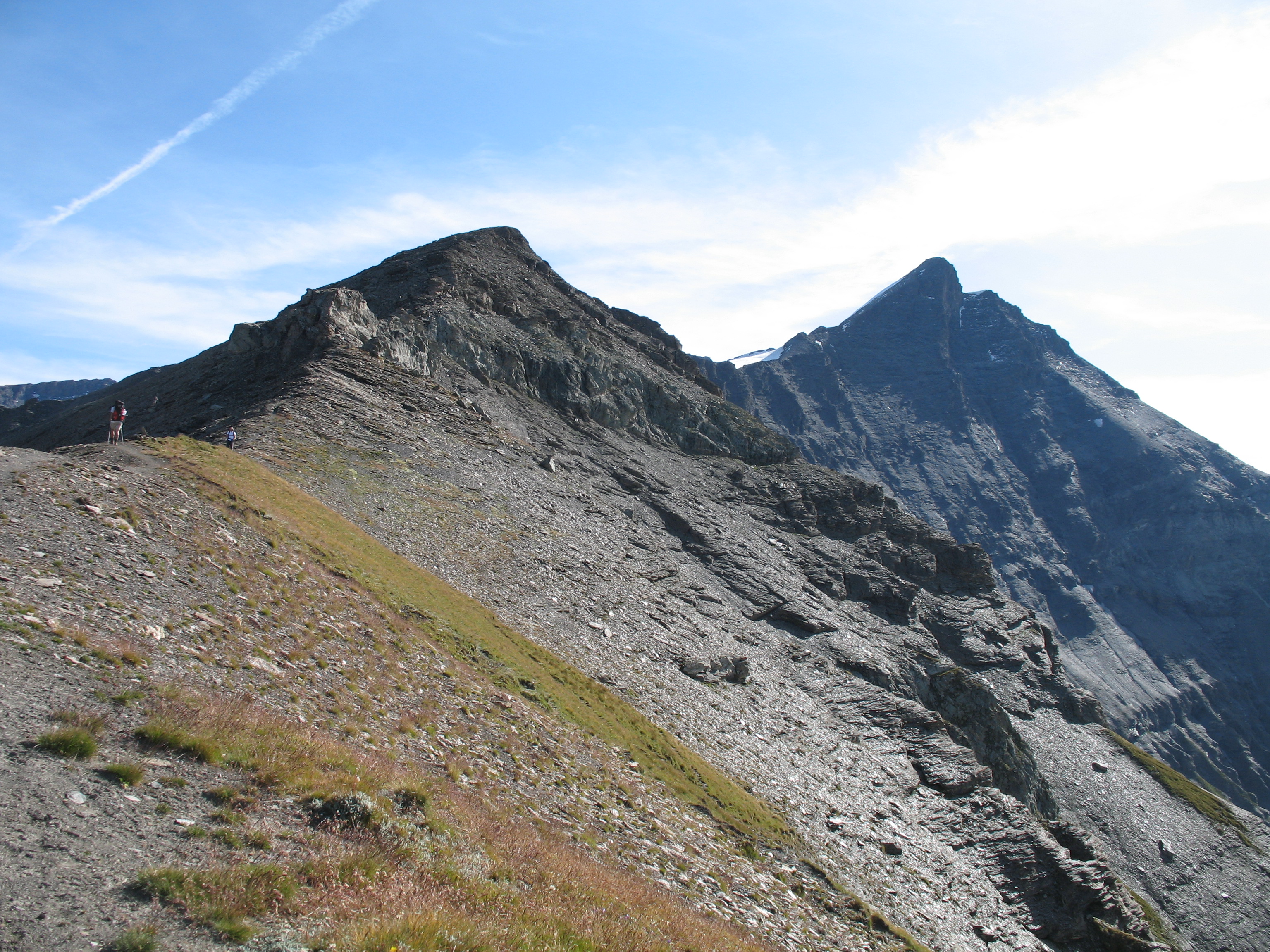
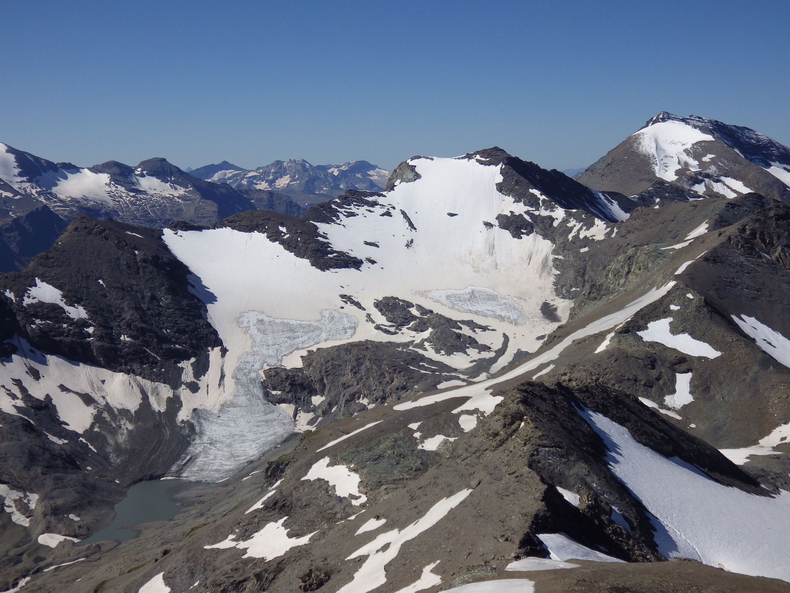
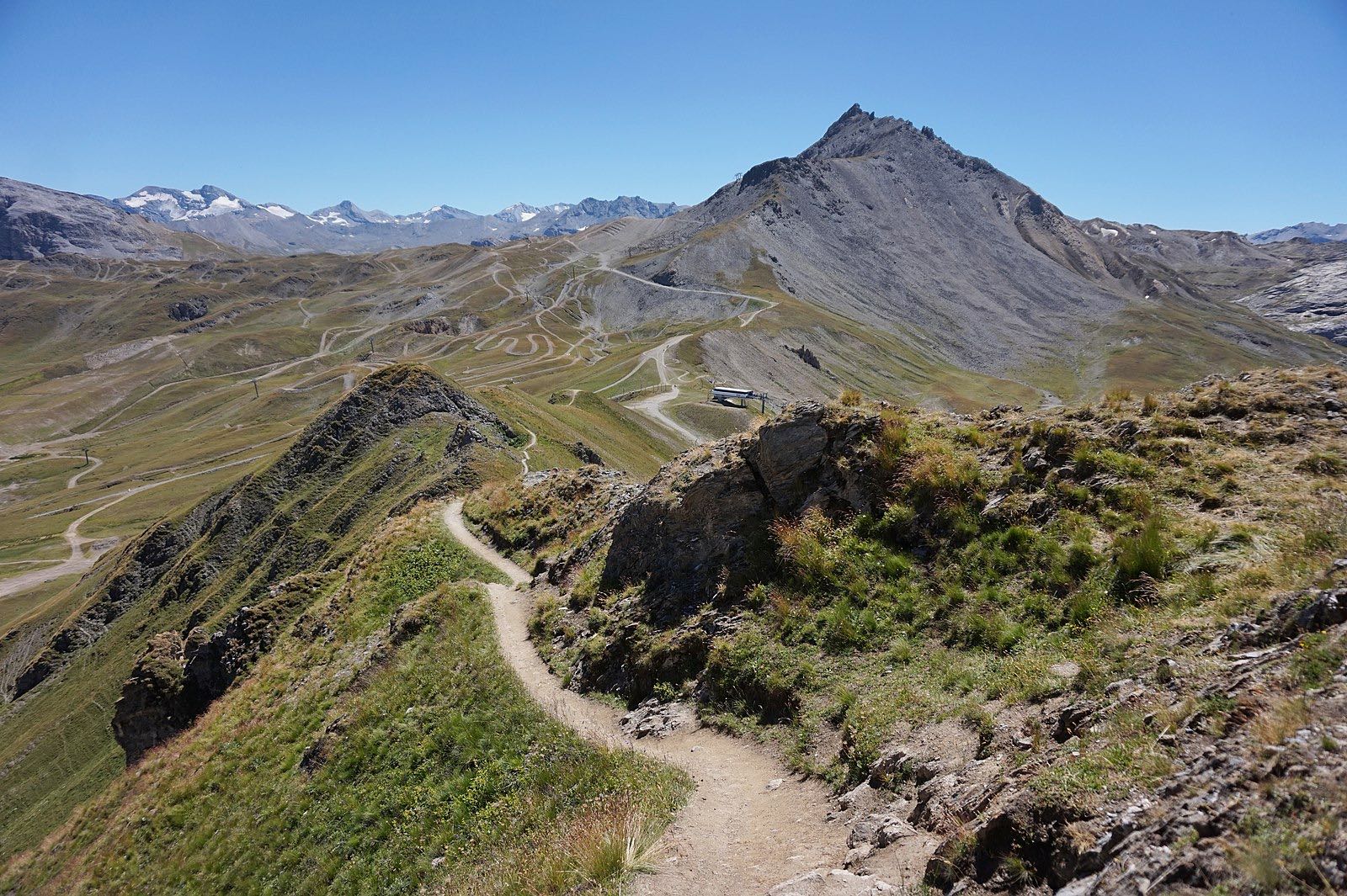
Departing from Tignes Val Claret, this trail follows the Fresse crest to the Pas de la Tovière. Superb landscapes despite the presence of ski lifts.

Already more than 200,000 users!
Uphill
578m
Highest point
2684m
Downhill
578m
Lowest point
2108m
Route type
Loop
Download the map on your smartphone to save battery and rest assured to always keep access to the route, even without signal.
Includes IGN France and Swisstopo.
3 ratings
Also enjoy:

Already more than 200,000 users!