Uphill
471m
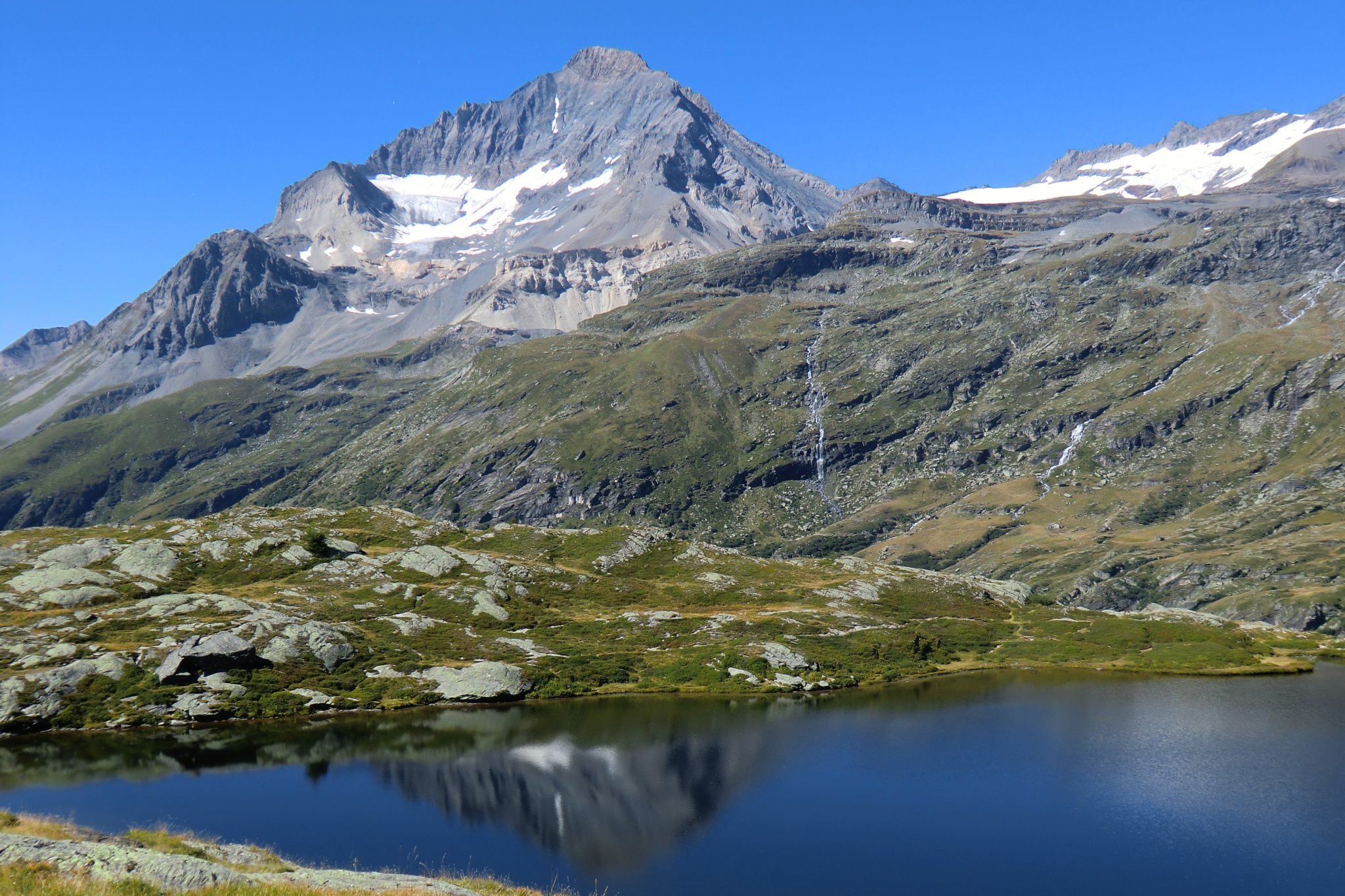
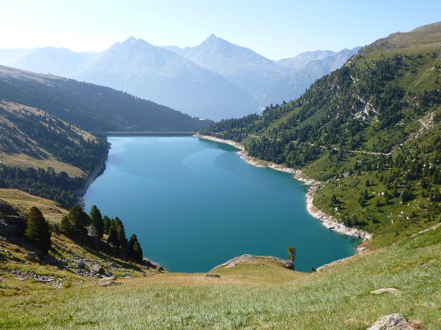
France > Auvergne-Rhône-Alpes > Savoie > Vanoise National Park
Length
11km
Duration
4h
Elev gain
471m
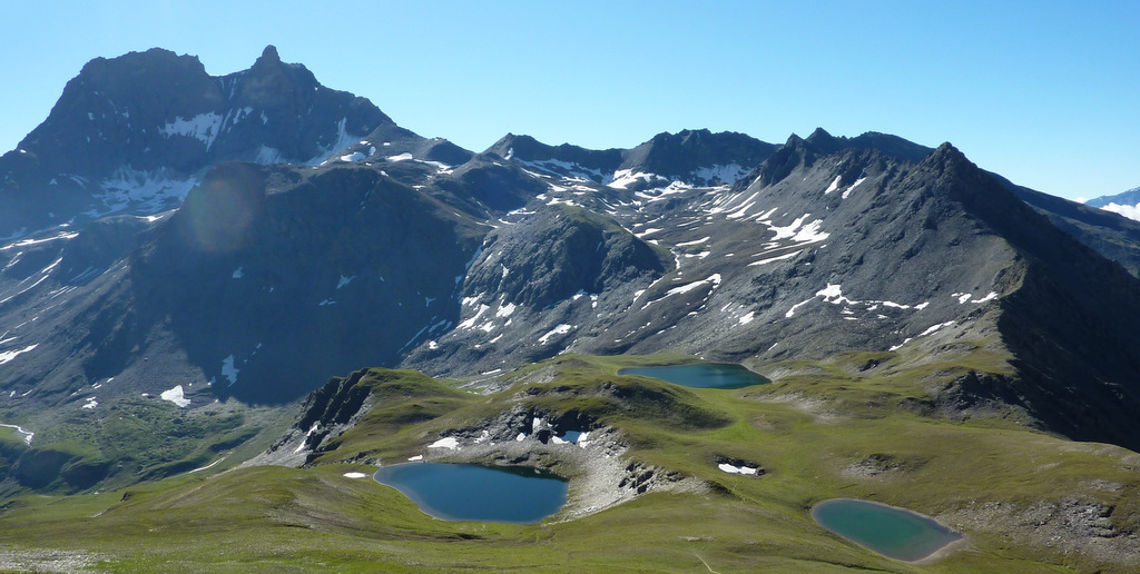
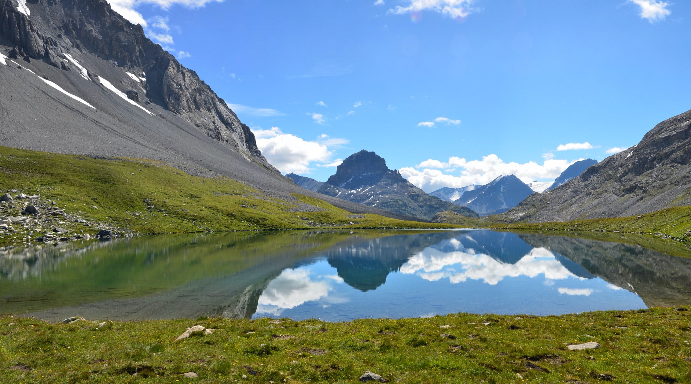
This hike includes several lakes including those of Bellecombe, Lait and Blanc, in which the Vanoise glaciers are reflected.

Already more than 200,000 users!
Uphill
471m
Highest point
2446m
Downhill
471m
Lowest point
2055m
Route type
Loop
Download the map on your smartphone to save battery and rest assured to always keep access to the route, even without signal.
Includes IGN France and Swisstopo.
0 ratings
Also enjoy:

Already more than 200,000 users!