Uphill
685m
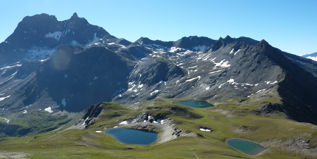
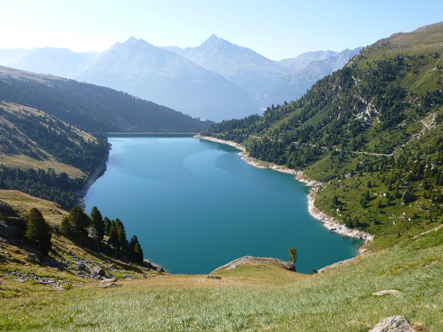
France > Auvergne-Rhône-Alpes > Savoie > Vanoise National Park
Length
14km
Duration
5h30min
Elev gain
685m
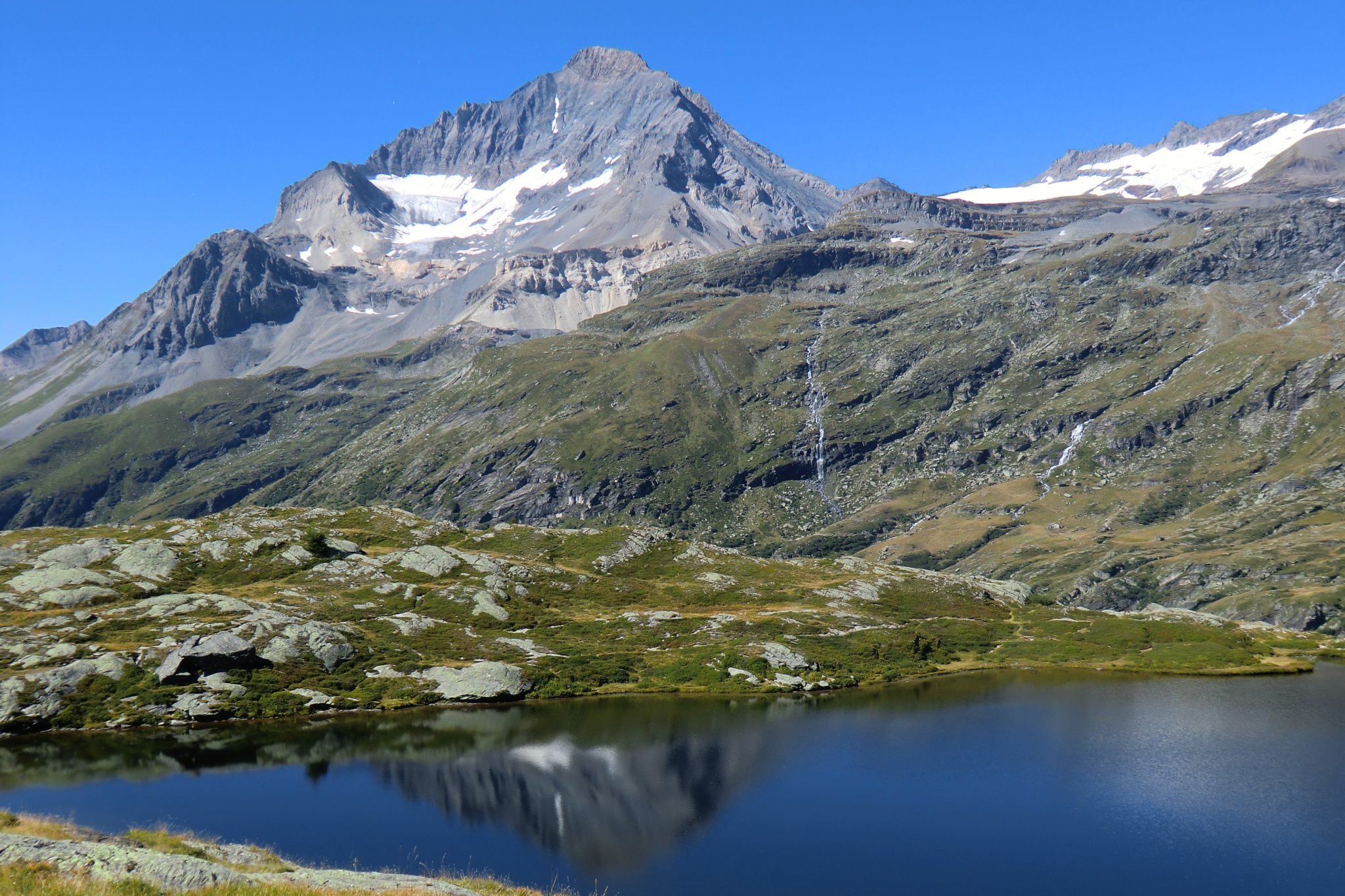
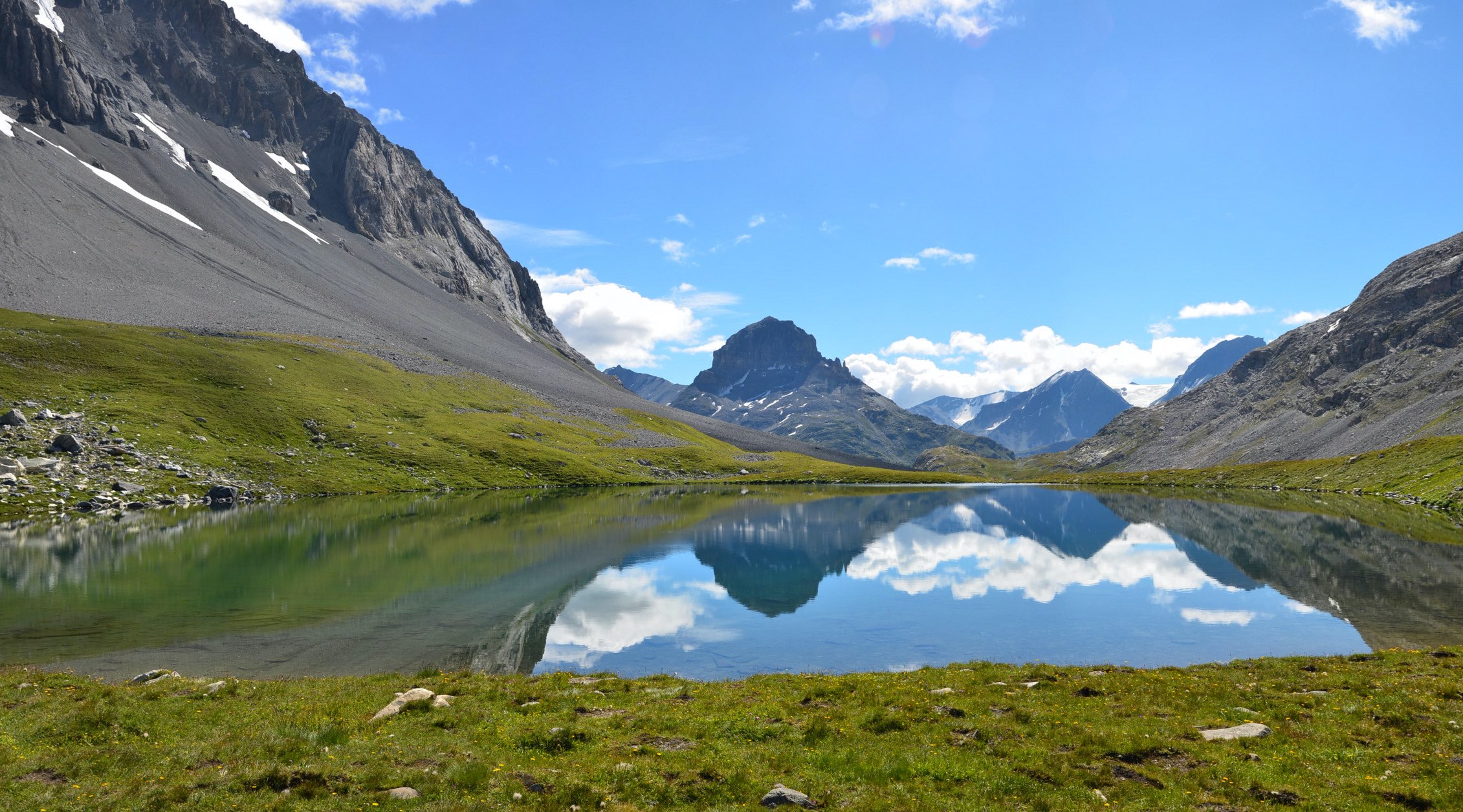
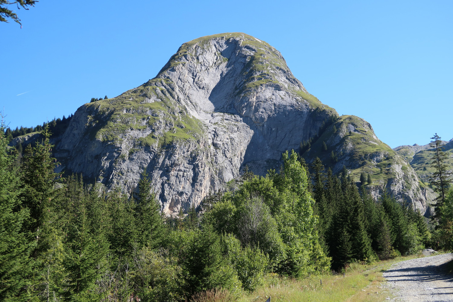
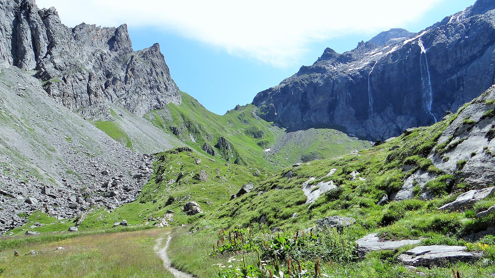
Loop in the heart of the Vanoise, which allows to have a nice view of the lakes and nearby peaks.

Already more than 200,000 users!
Uphill
685m
Highest point
2895m
Downhill
685m
Lowest point
2301m
Route type
Loop
Download the map on your smartphone to save battery and rest assured to always keep access to the route, even without signal.
Includes IGN France and Swisstopo.
2 ratings
Also enjoy:

Already more than 200,000 users!