Uphill
663m
France > Auvergne-Rhône-Alpes > Ain > Haut-Jura Nature Park
Length
11km
Duration
5h
Elev gain
663m
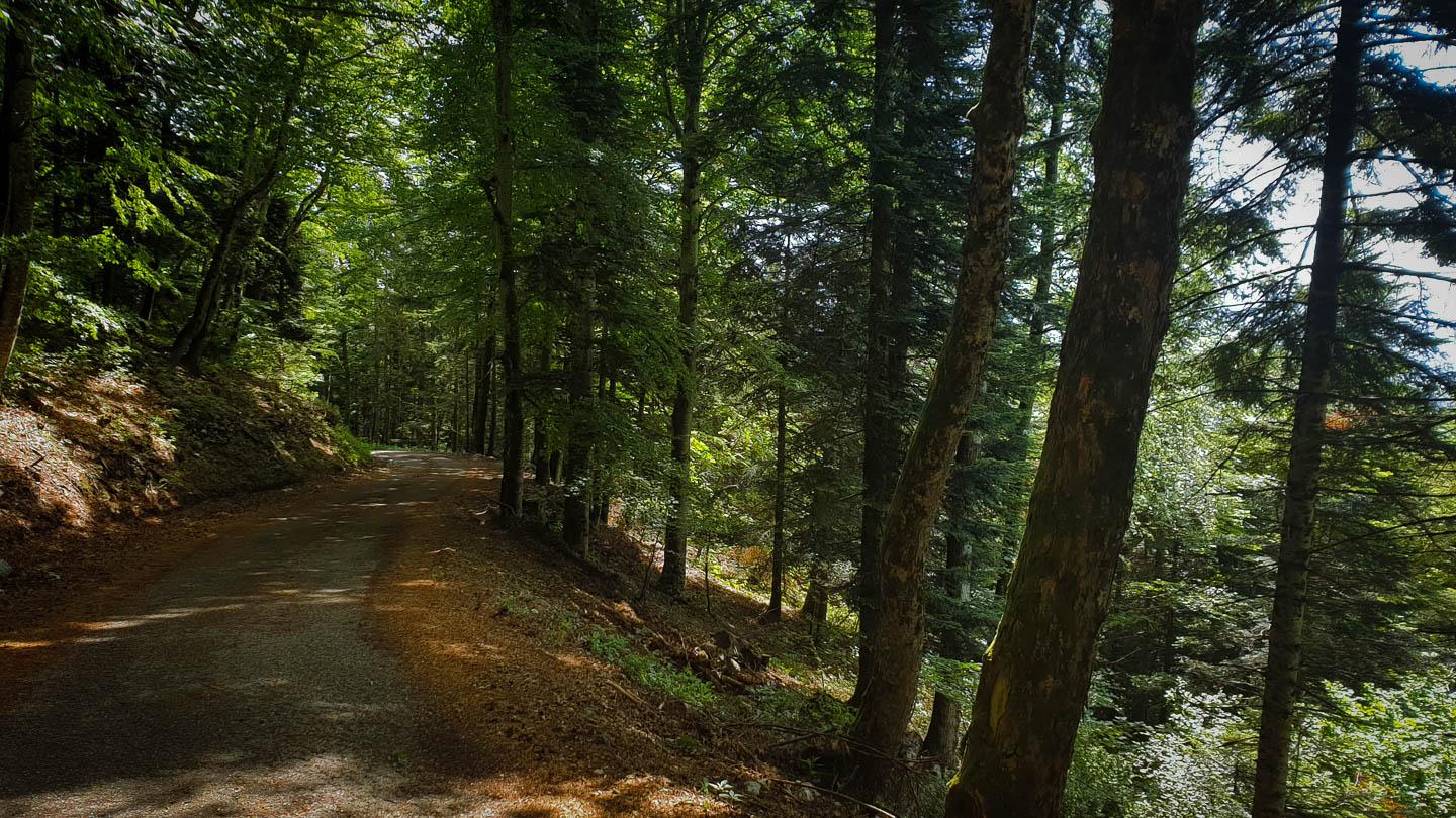
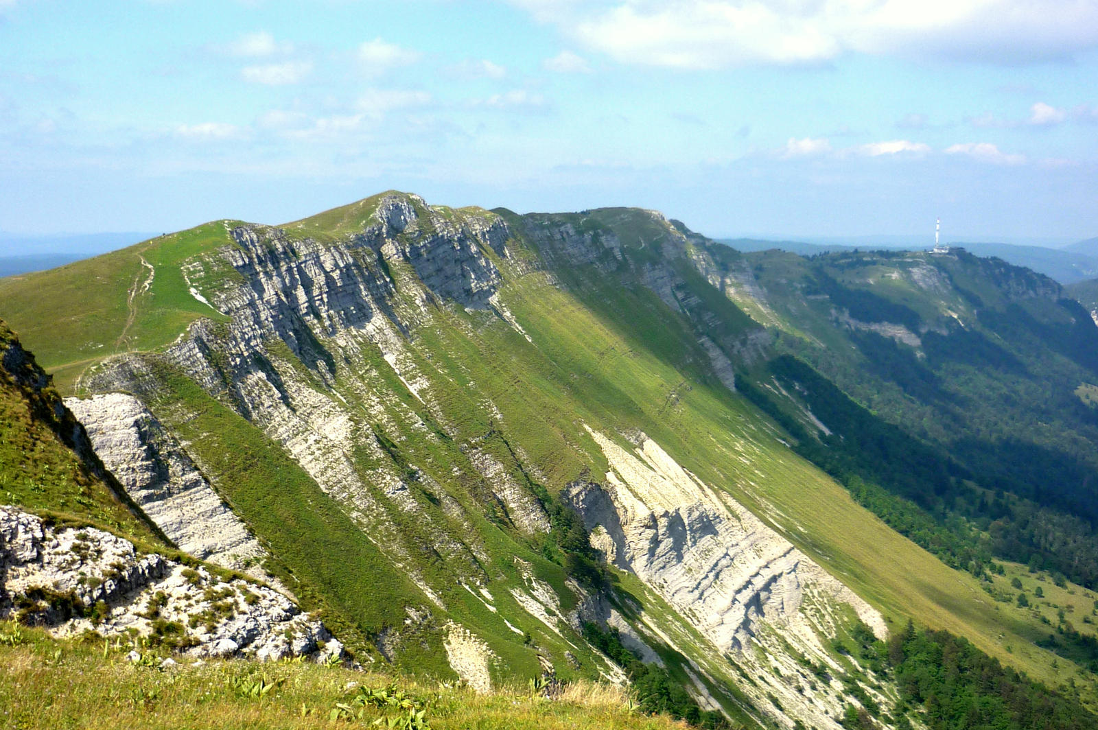
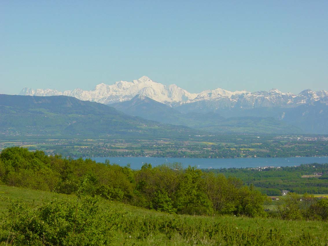
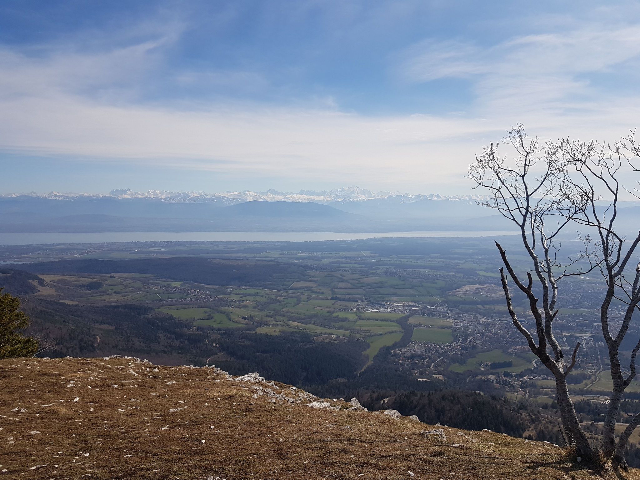
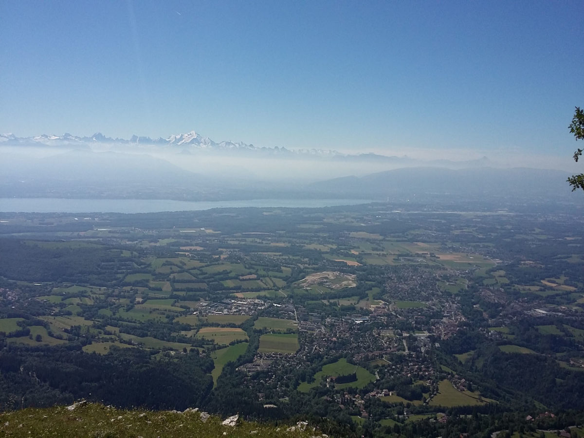
Ascent to the viewpoint of Le Turet through the charming forest of Disse. The route becomes quite steep in the second part, when it takes the Chemin du Mauvais Pas. Once at the top, the efforts are rewarded with a superb view of Lake Geneva.

Already more than 200,000 users!
Uphill
663m
Highest point
1406m
Downhill
663m
Lowest point
765m
Route type
There and back
Download the map on your smartphone to save battery and rest assured to always keep access to the route, even without signal.
Includes IGN France and Swisstopo.
Forbidden
Can be difficult in Winter
1 rating
Also enjoy:

Already more than 200,000 users!