Uphill
123m
Length
6km
Duration
1h30min
Elev gain
123m
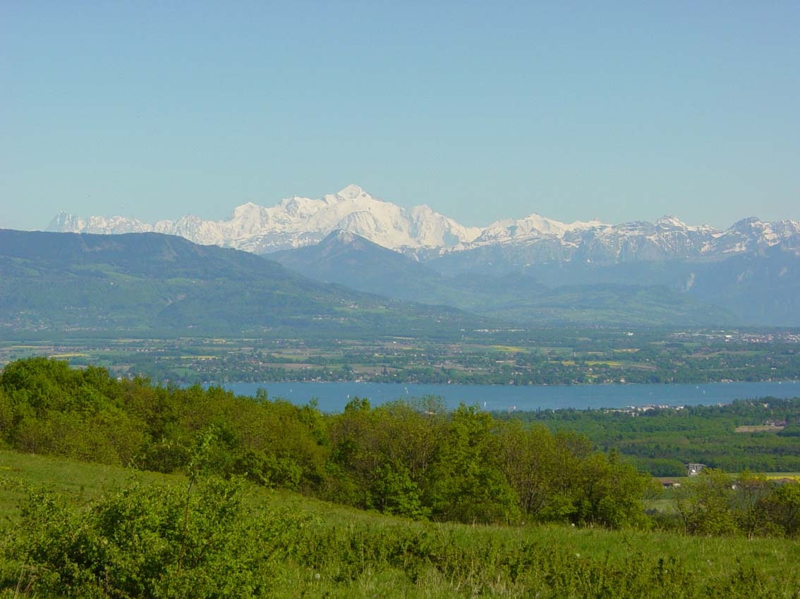
Here is a very nice little walk on the heights of Divonne-les-Bains. The route, mainly in the forest, goes around Mont Mourex. From the top, the view of the Jura, Lake Geneva and the high peaks of the Chablais massif is magnificent.

Already more than 200,000 users!
Uphill
123m
Highest point
750m
Downhill
123m
Lowest point
675m
Route type
Loop
Download the map on your smartphone to save battery and rest assured to always keep access to the route, even without signal.
Includes IGN France and Swisstopo.
I indicate whether dogs are allowed or prohibited on this trail
All year
2 ratings
Also enjoy:

Already more than 200,000 users!


