Uphill
1114m
Length
14km
Duration
7h30min
Elev gain
1114m
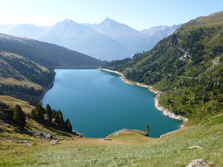
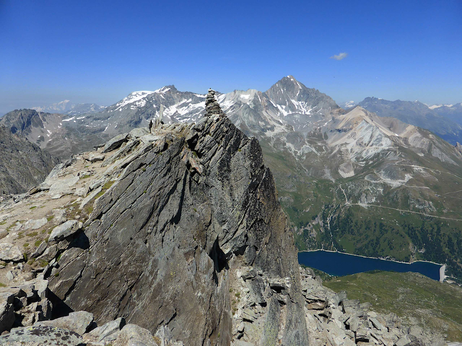
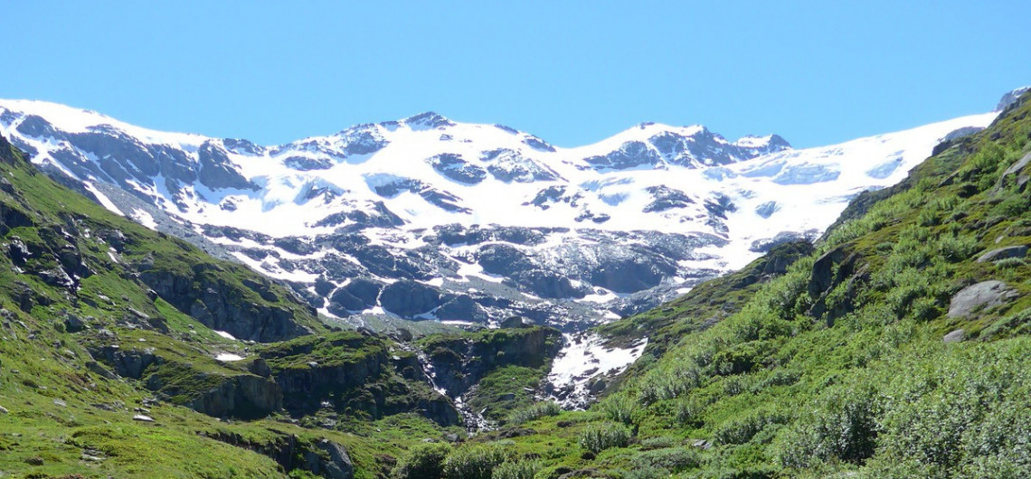
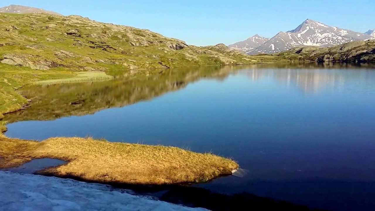
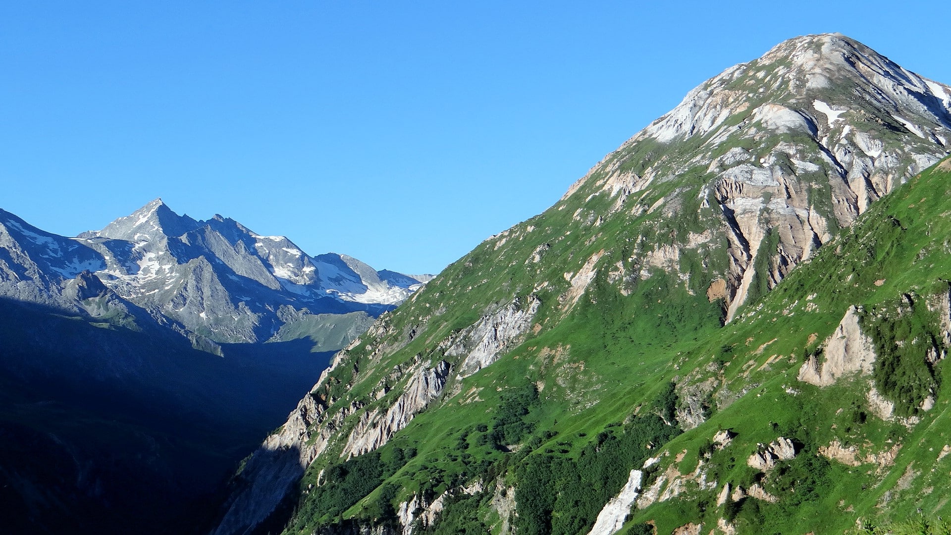
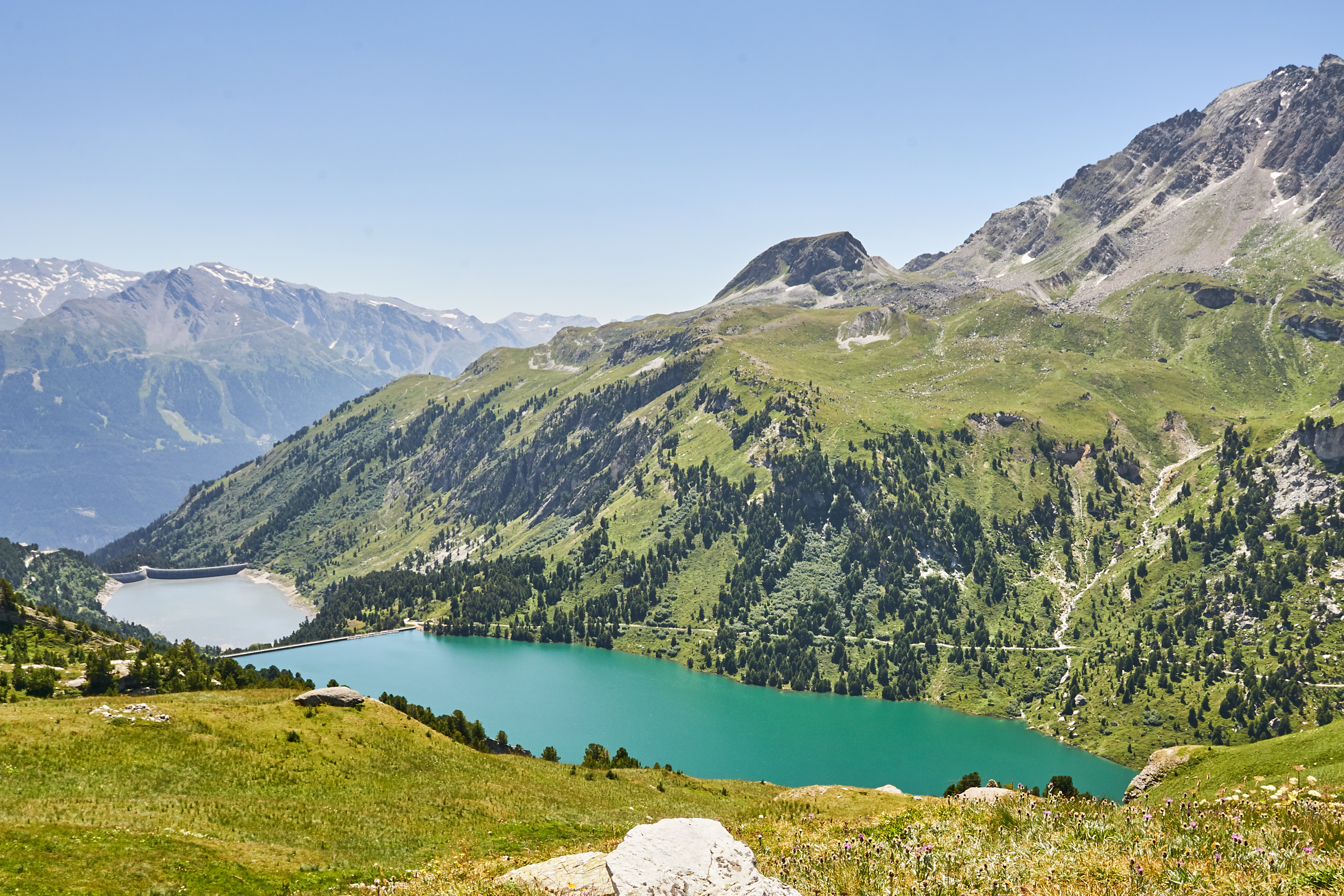
This hike connects two lakes with turquoise waters: Plan d'Amont and Lac du Génépy. At the foot of the Labby glacier, Lac du Génépy has to be earned. After a good effort, the view of the Col d'Aussois and the Dent Parrachée is magnificent. Note that the trail passes through two refuges.

Already more than 200,000 users!
Uphill
1114m
Highest point
2883m
Downhill
1114m
Lowest point
2006m
Route type
Loop
Download the map on your smartphone to save battery and rest assured to always keep access to the route, even without signal.
Includes IGN France and Swisstopo.
I indicate whether dogs are allowed or prohibited on this trail
From June to September
0 ratings
Also enjoy:

Already more than 200,000 users!