Uphill
1319m
Length
15km
Duration
9h
Elev gain
1319m
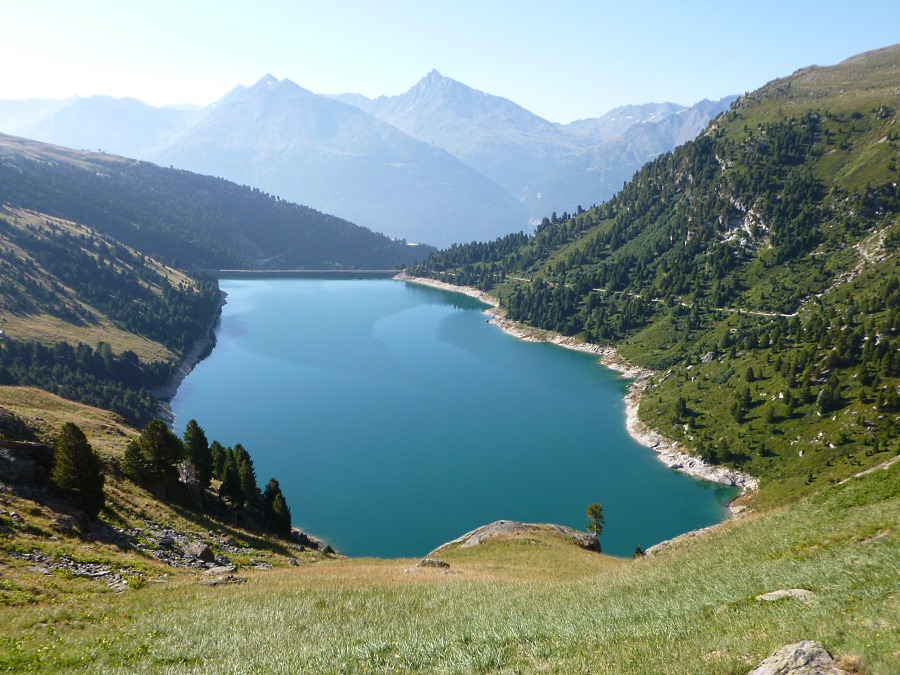
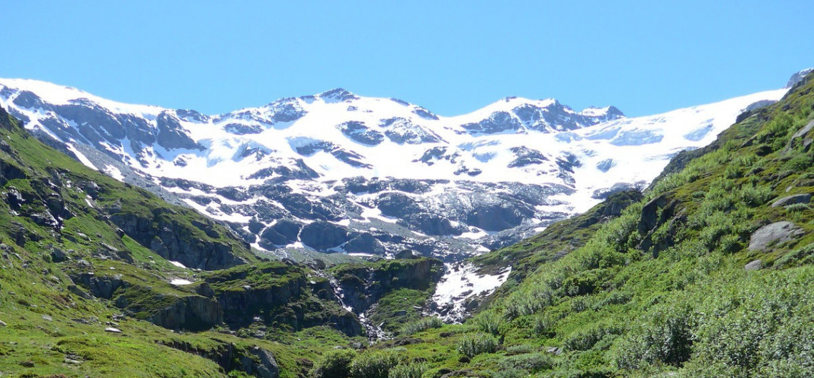
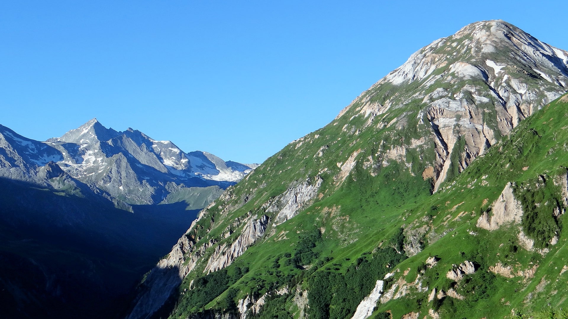
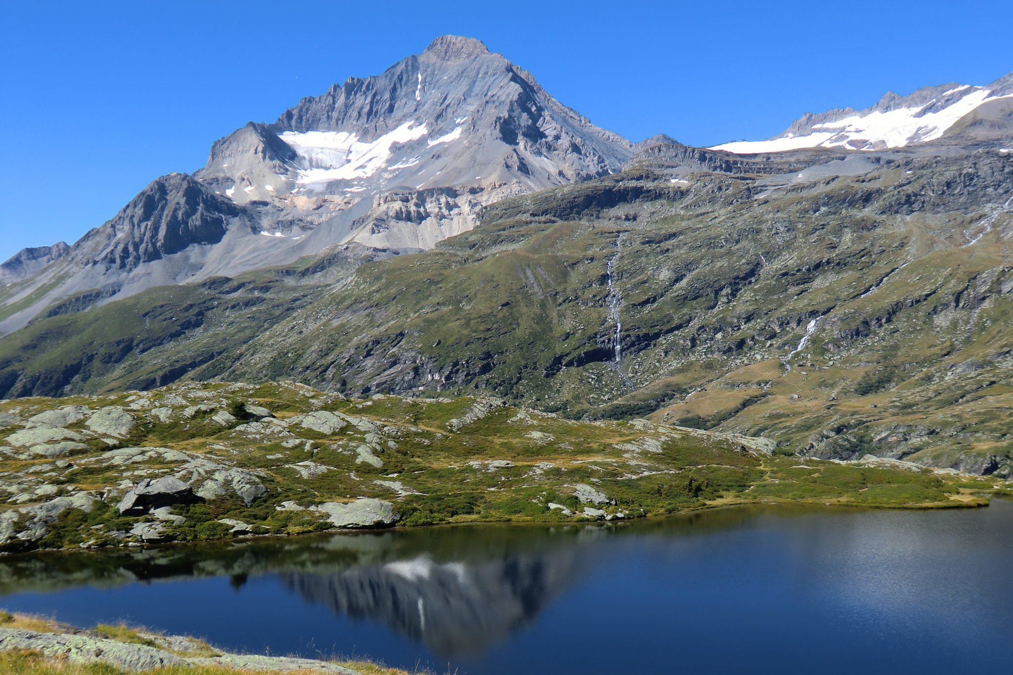
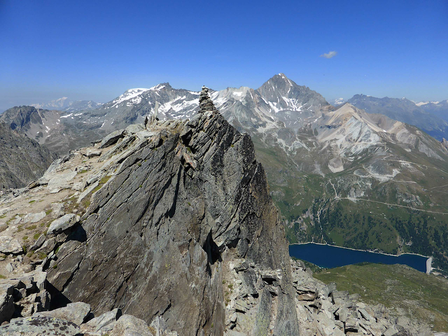
Steep elevation to reach the 3131 m of the Râteau d'Aussois and its numerous cairns.

Already more than 200,000 users!
Uphill
1319m
Highest point
3105m
Downhill
1319m
Lowest point
1929m
Route type
Loop
Download the map on your smartphone to save battery and rest assured to always keep access to the route, even without signal.
Includes IGN France and Swisstopo.
I indicate whether dogs are allowed or prohibited on this trail
From June to September
0 ratings
Also enjoy:

Already more than 200,000 users!