Uphill
406m
France > Auvergne-Rhône-Alpes > Cantal > Volcans d'Auvergne Regional Natural Park
Length
7km
Duration
3h
Elev gain
406m
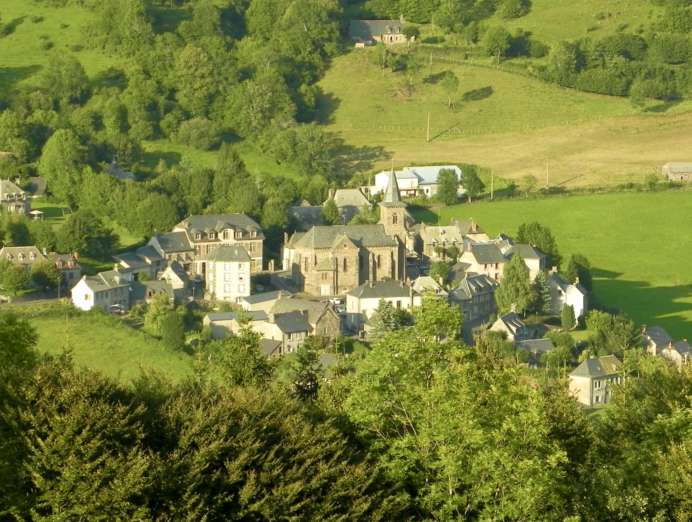
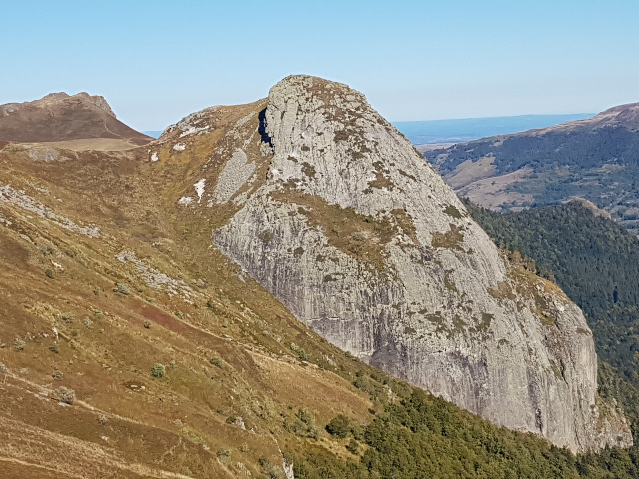
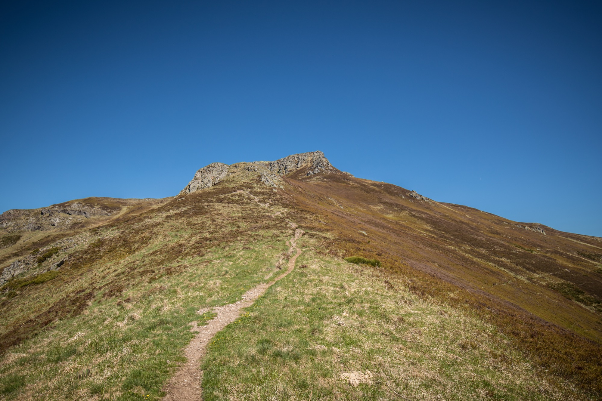
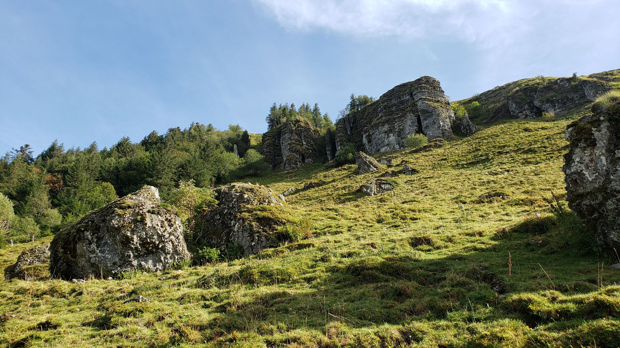
This beautiful hike begins in the hamlet of Le Rouffier and leads to the foot of the Roc du Merle. The route makes a loop in the heart of the Falgoux forest and offers many viewpoints on the rock, all in a superb setting.

Already more than 200,000 users!
Uphill
406m
Highest point
1359m
Downhill
406m
Lowest point
948m
Route type
Loop
Download the map on your smartphone to save battery and rest assured to always keep access to the route, even without signal.
Includes IGN France and Swisstopo.
I indicate whether dogs are allowed or prohibited on this trail
Can be difficult in Winter
2 ratings
Very beautiful, but sometimes road destroyed
Also enjoy:

Already more than 200,000 users!