Uphill
274m
Length
9km
Duration
3h
Elev gain
274m
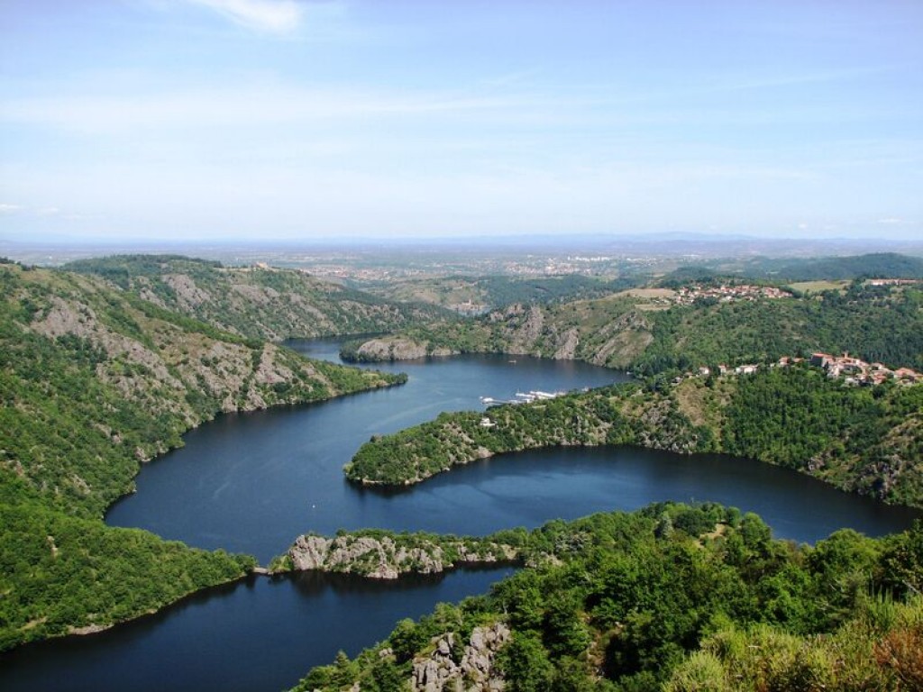
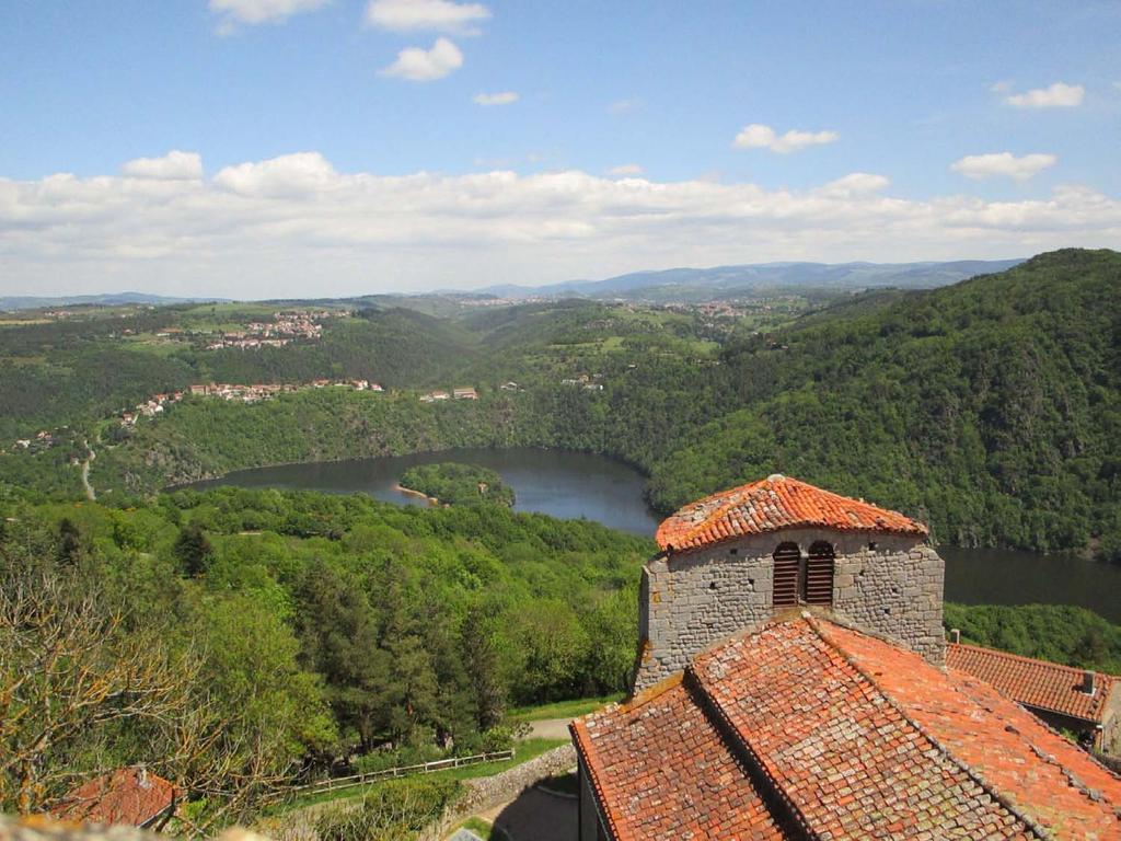
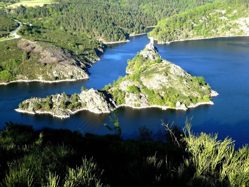
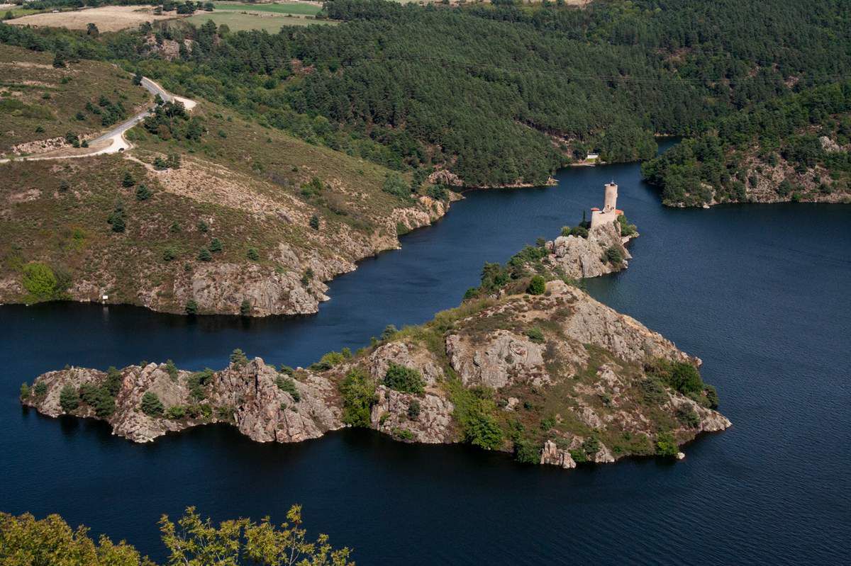
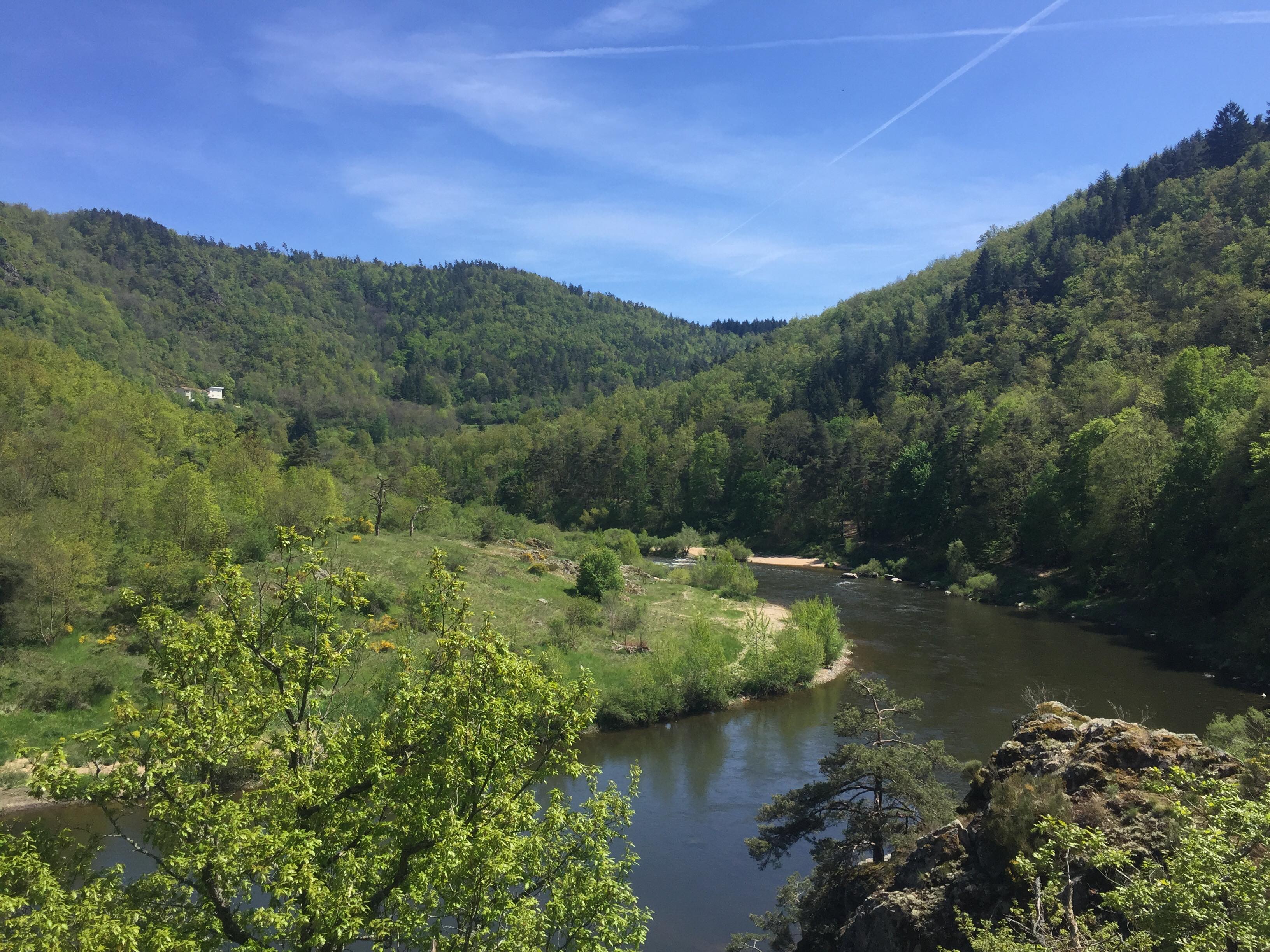
Departing from Aurec-sur-Loire, this hike takes place on the banks of the Loire. The route begins near the Himalayan footbridge, follows the river, then rushes into the forest to reach the Saut du Chien rock, a small waterfall in the Besset stream. The route then makes a loop passing through the pretty hamlet of Hermet.

Already more than 200,000 users!
Uphill
274m
Highest point
612m
Downhill
274m
Lowest point
414m
Route type
Loop
Download the map on your smartphone to save battery and rest assured to always keep access to the route, even without signal.
Includes IGN France and Swisstopo.
I indicate whether dogs are allowed or prohibited on this trail
All year
2 ratings
Also enjoy:

Already more than 200,000 users!