Uphill
233m
Length
8km
Duration
2h30min
Elev gain
233m
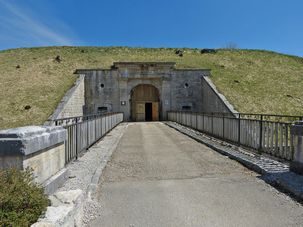
This hike leads to Fort Saint-Antoine, which was built between 1879 and 1882 to protect the Swiss border.
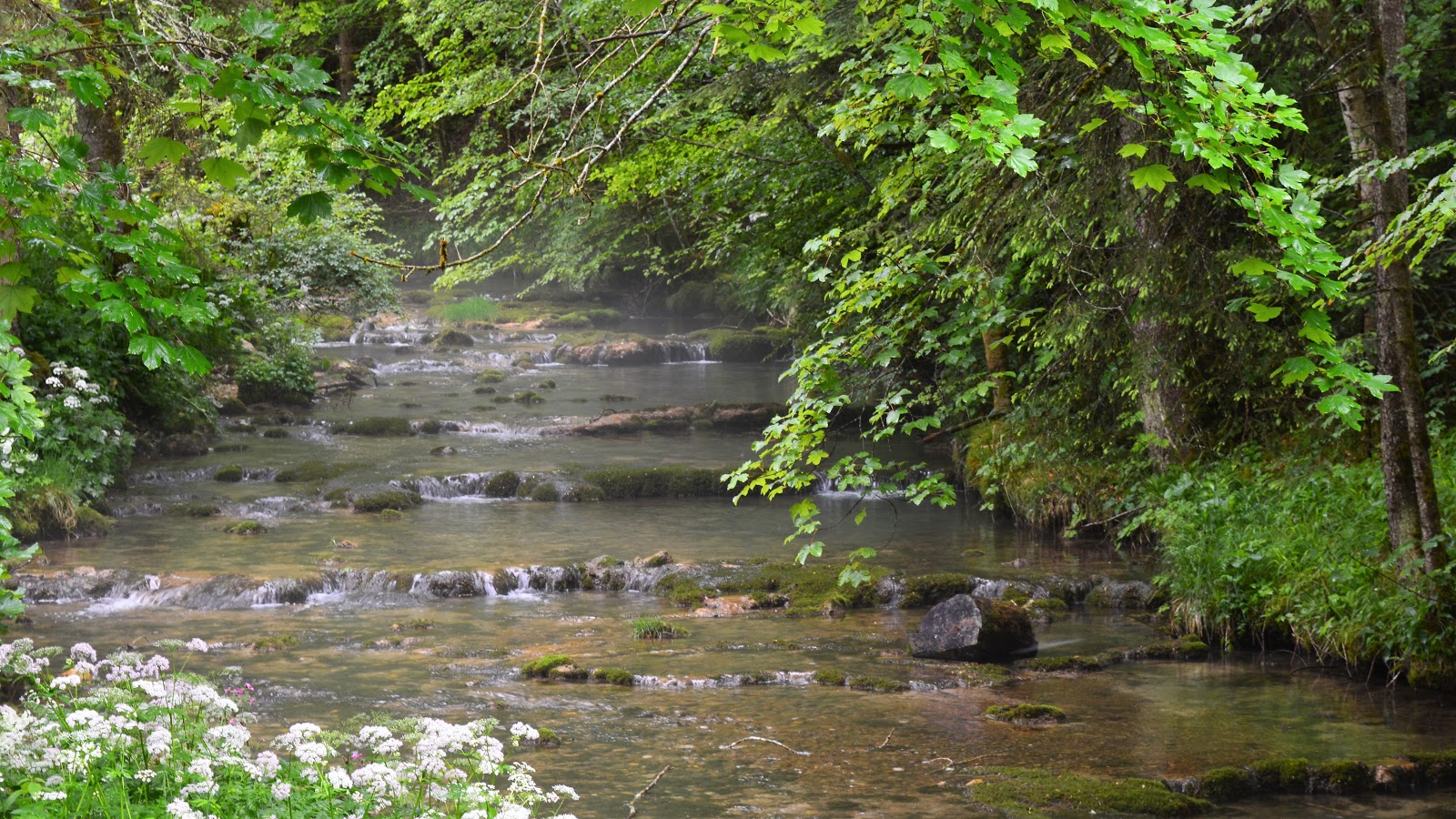
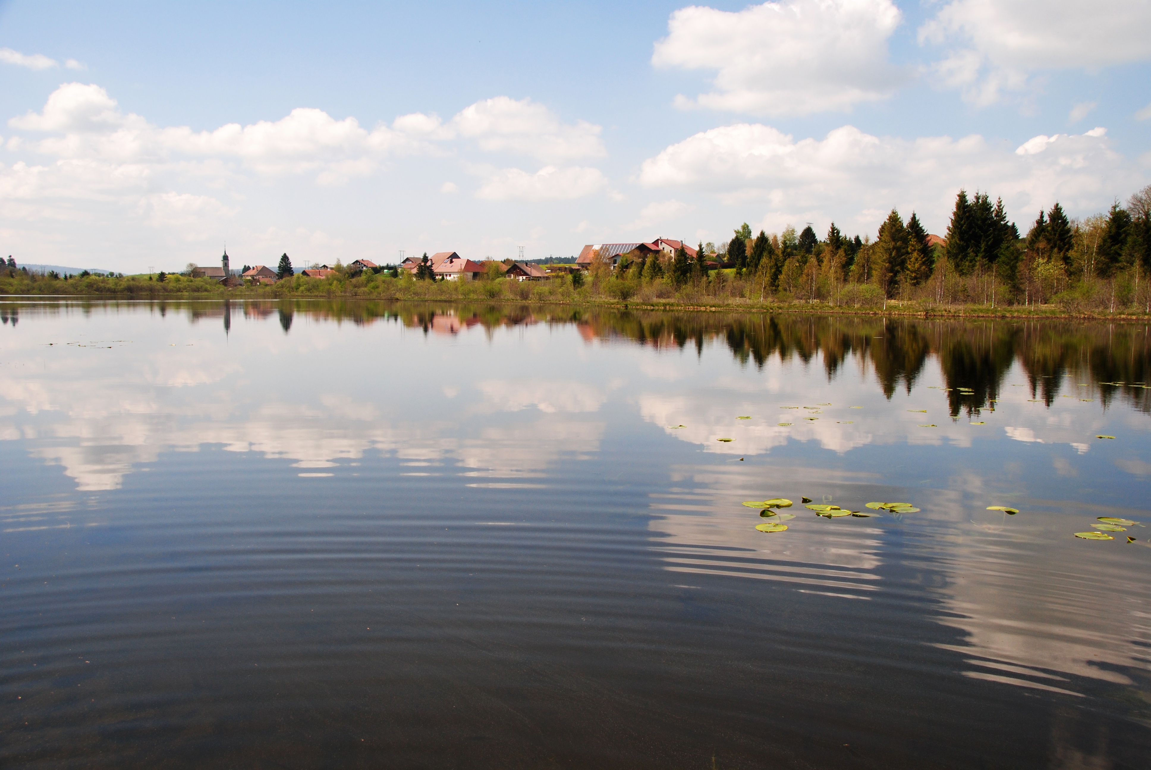
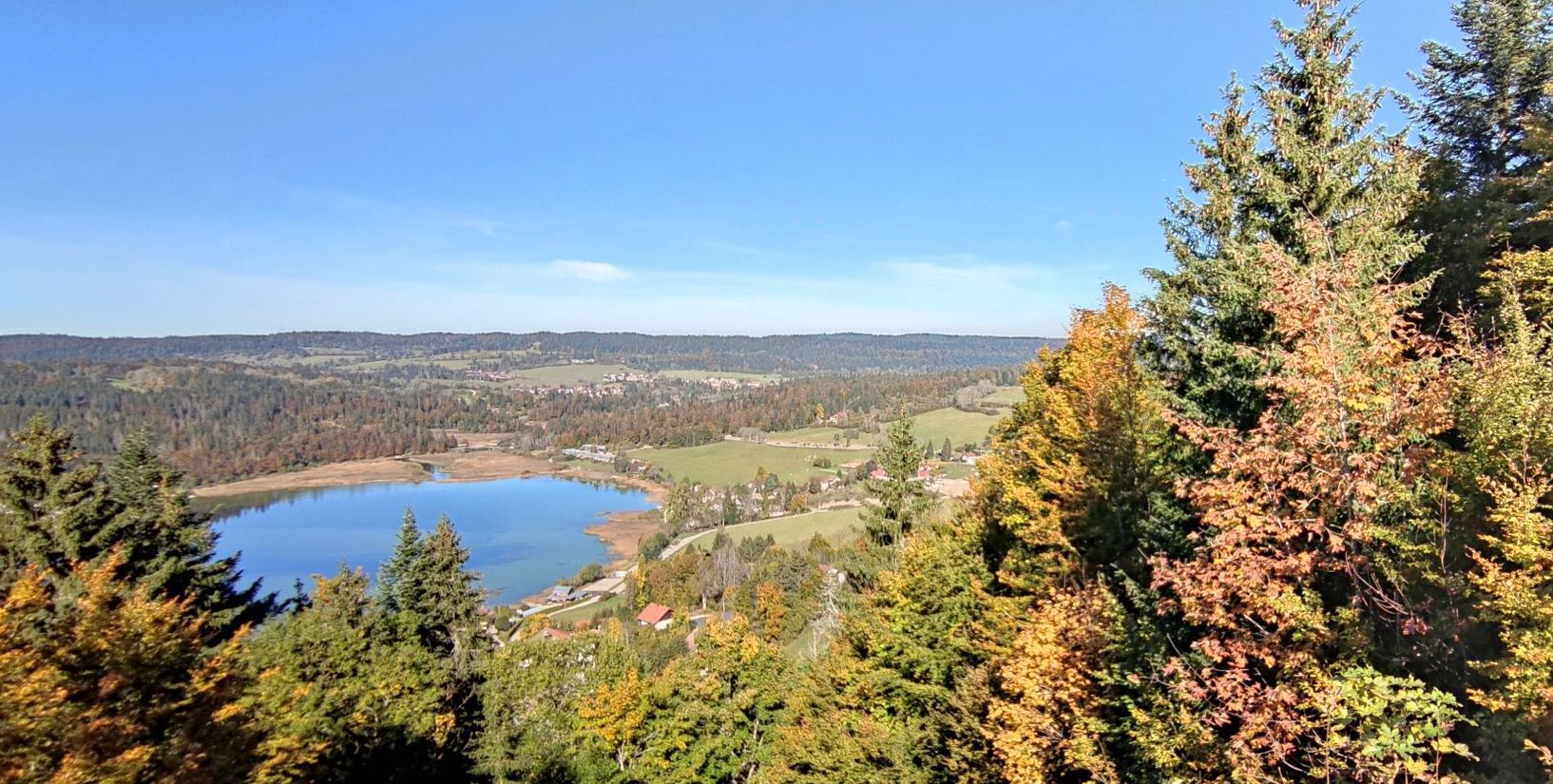
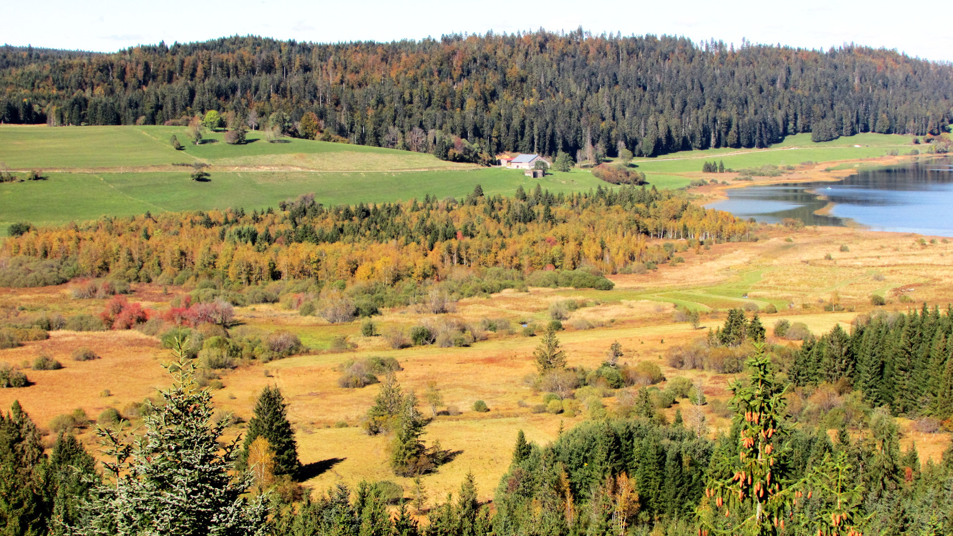
The path meanders through the forest and offers lovely views of Saint-Point lake, before coming out at the fort. Note several passages on the road.

Already more than 200,000 users!
Uphill
233m
Highest point
1098m
Downhill
233m
Lowest point
882m
Route type
Loop
Download the map on your smartphone to save battery and rest assured to always keep access to the route, even without signal.
Includes IGN France and Swisstopo.
I indicate whether dogs are allowed or prohibited on this trail
Can be difficult in Winter
0 ratings
Also enjoy:

Already more than 200,000 users!