Uphill
196m
Length
7km
Duration
2h
Elev gain
196m
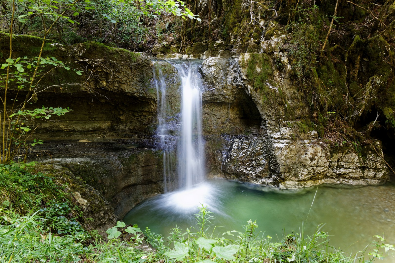
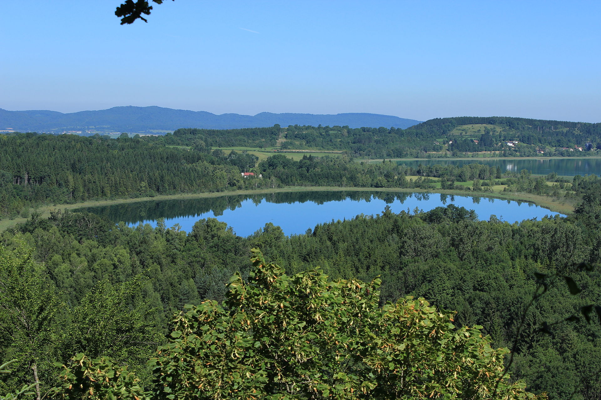
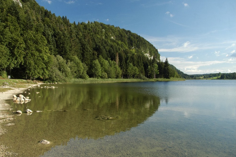
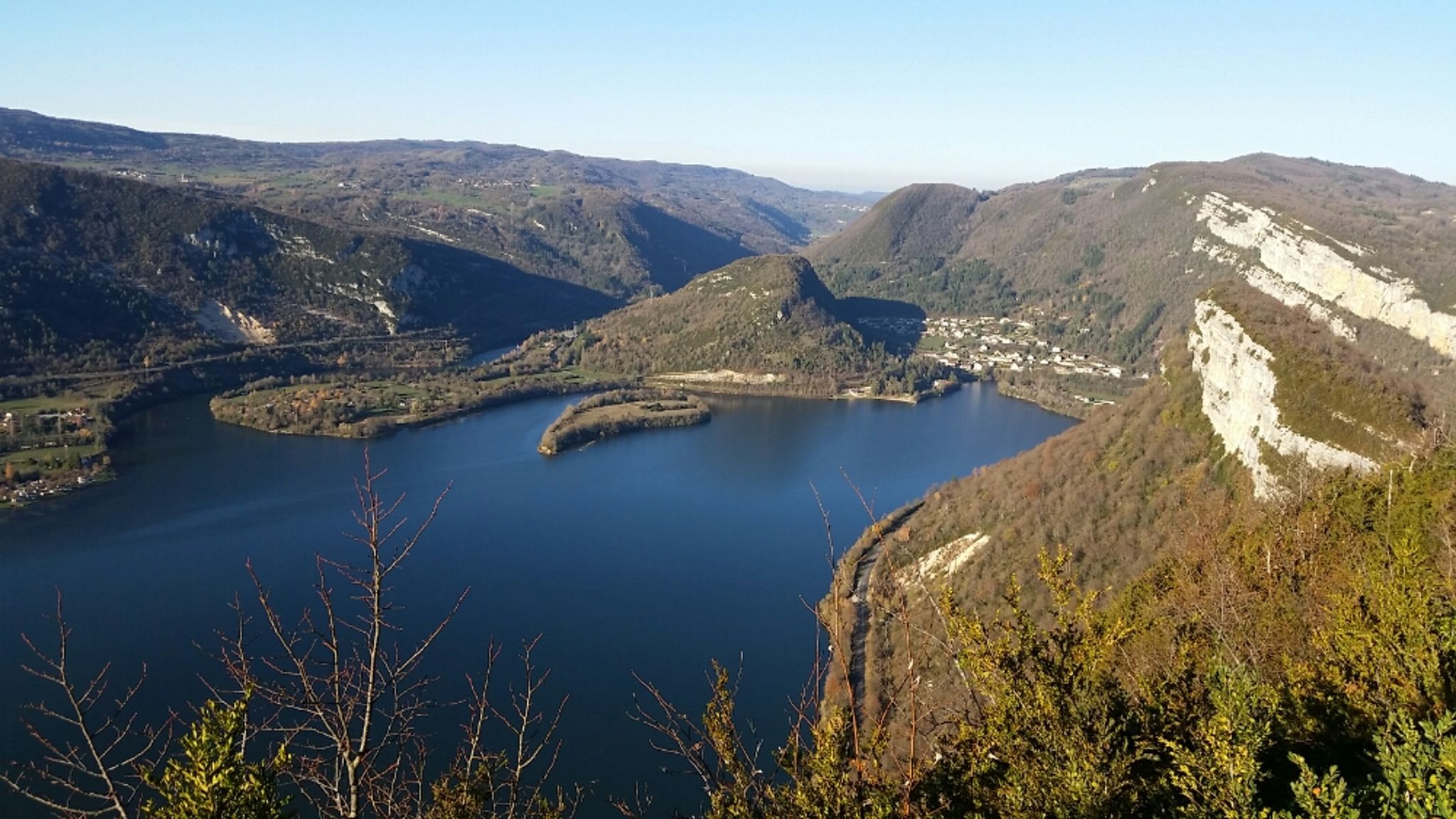
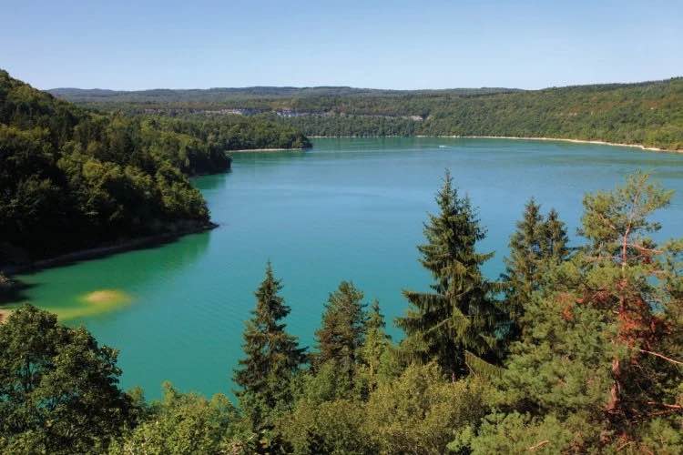
Departing from the port of La Mercantine, this hike makes a loop passing through the hamlets of Mont du Cerf and Maisod, then along the lake of Vouglans on the way back. This second part takes place in the undergrowth, more than 50 meters above the shores of the lake.

Already more than 200,000 users!
Uphill
196m
Highest point
535m
Downhill
196m
Lowest point
422m
Route type
Loop
Download the map on your smartphone to save battery and rest assured to always keep access to the route, even without signal.
Includes IGN France and Swisstopo.
I indicate whether dogs are allowed or prohibited on this trail
All year
3 ratings
Also enjoy:

Already more than 200,000 users!