Uphill
53m
Length
12km
Duration
3h
Elev gain
53m
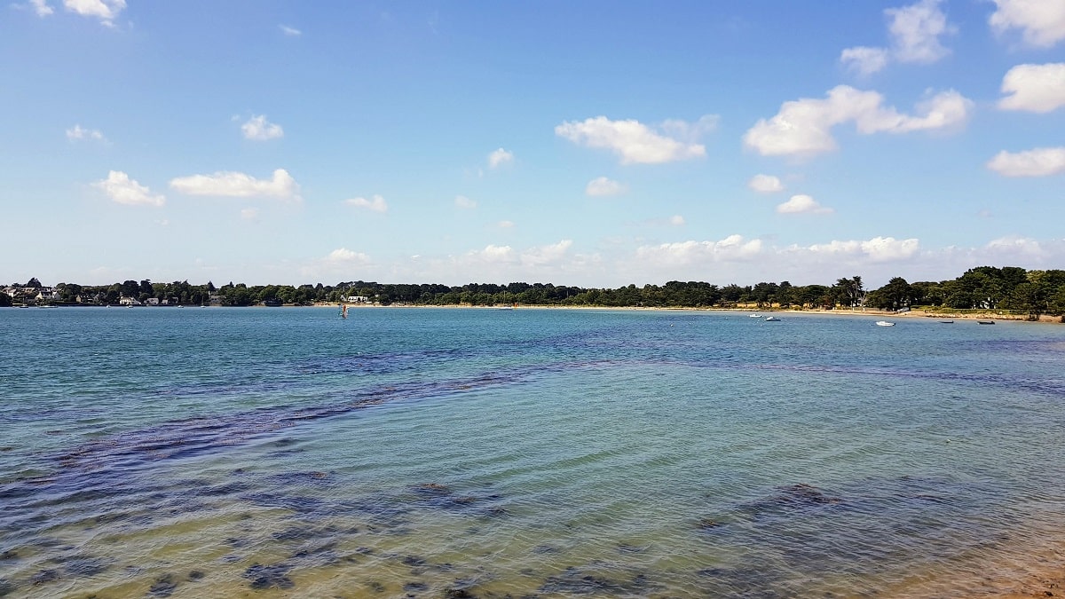
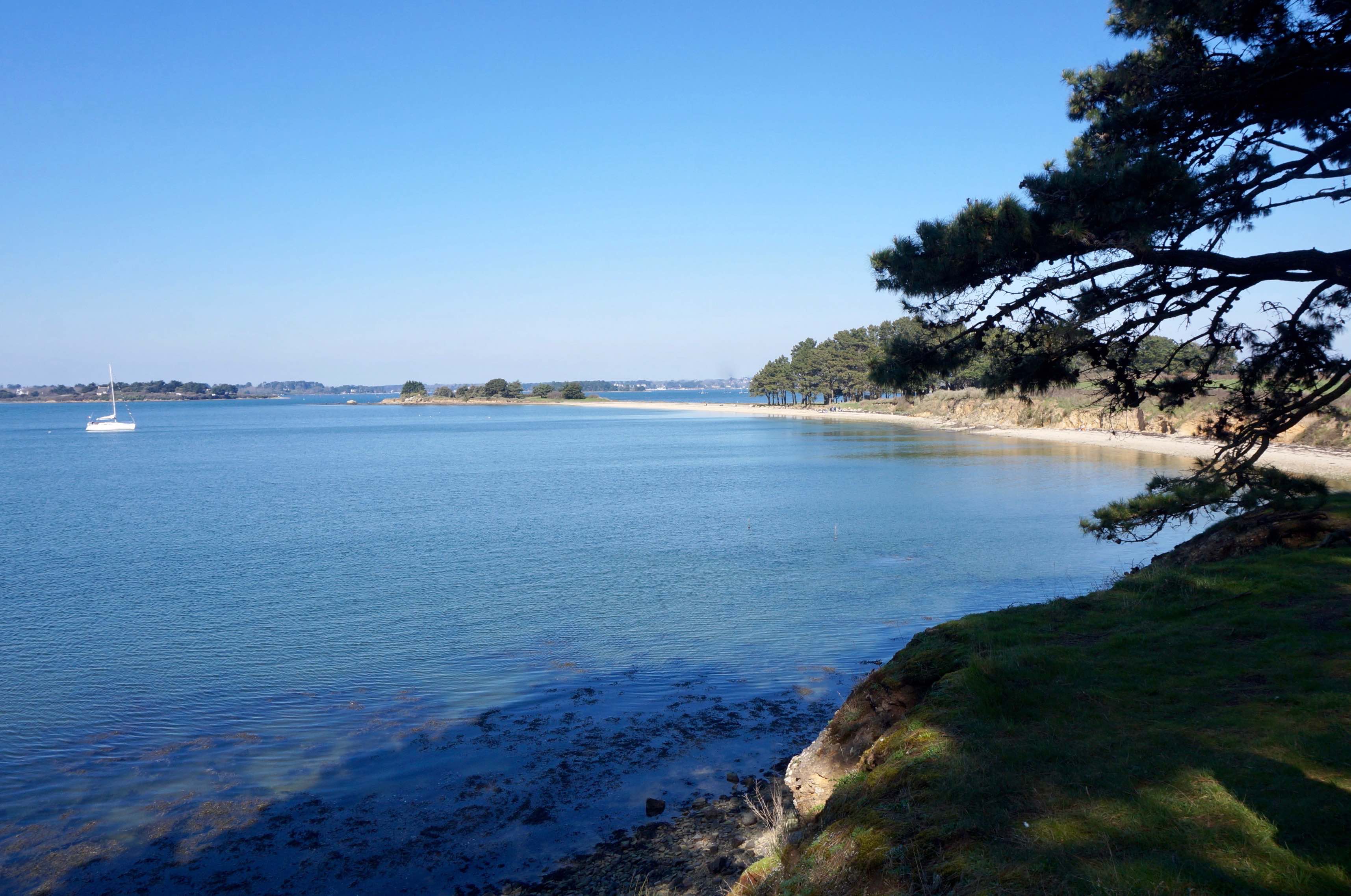
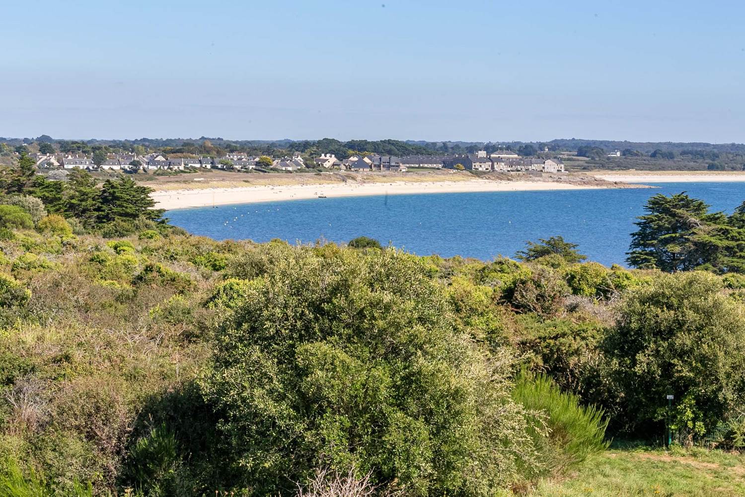
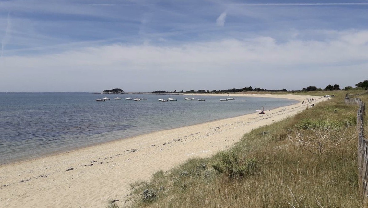
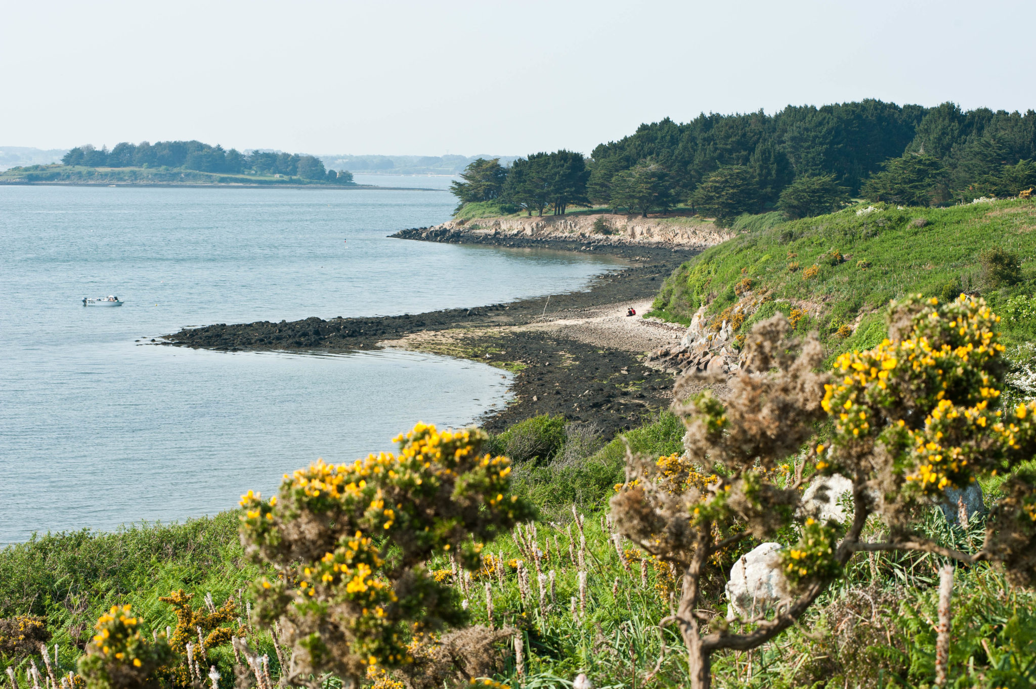
Tour of Île aux Moines, which is the largest island in the Gulf of Morbihan. On the program: many woods, small beaches, stone houses, and permanent views of the sea.

Already more than 200,000 users!
Uphill
53m
Highest point
25m
Downhill
53m
Lowest point
0m
Route type
Loop
Download the map on your smartphone to save battery and rest assured to always keep access to the route, even without signal.
Includes IGN France and Swisstopo.
Port de l'Île aux Moines.
Ferry from Port-Blanc - Baden, Vannes, Port Navalo.
I indicate whether dogs are allowed or prohibited on this trail
All year
0 ratings
Also enjoy:

Already more than 200,000 users!