Uphill
67m

Length
9km
Duration
2h30min
Elev gain
67m
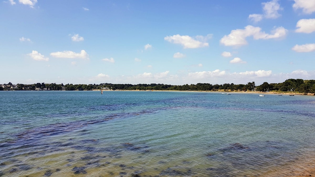
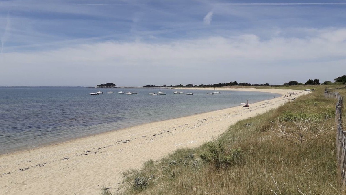
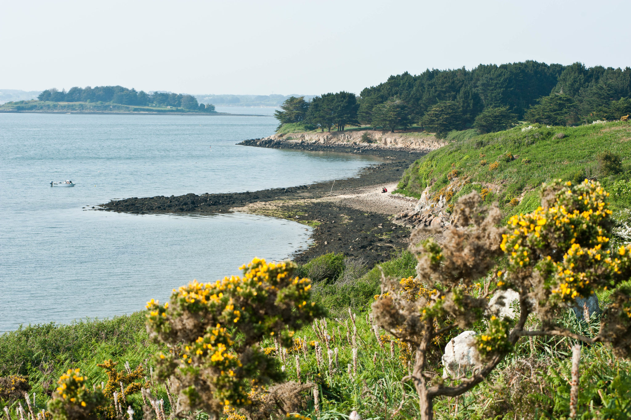
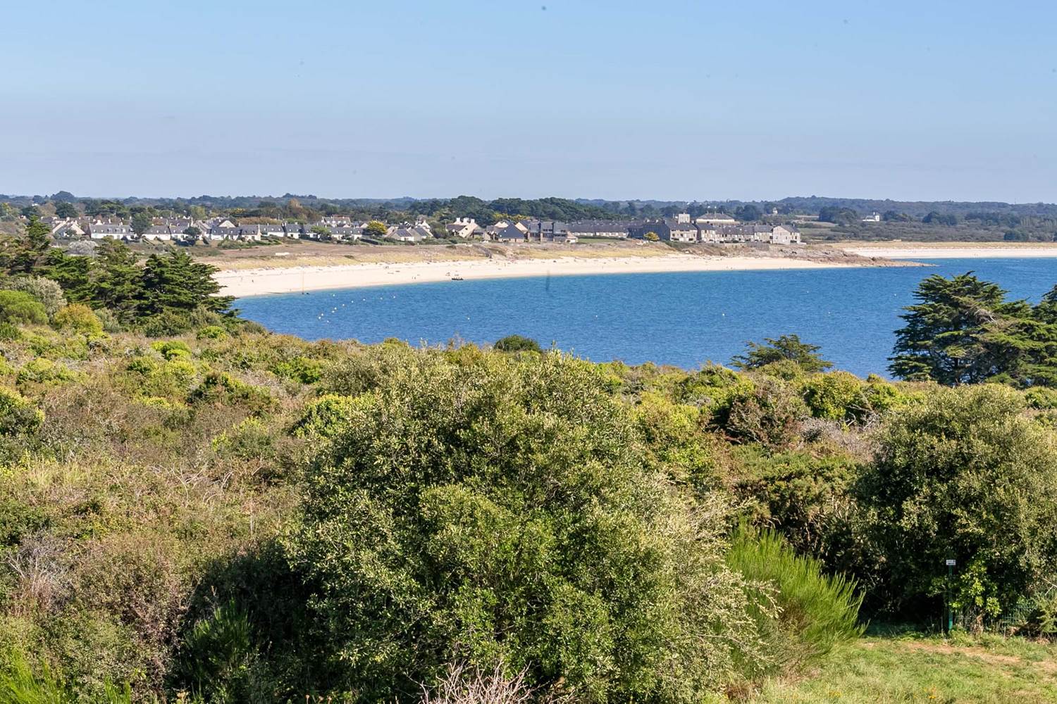
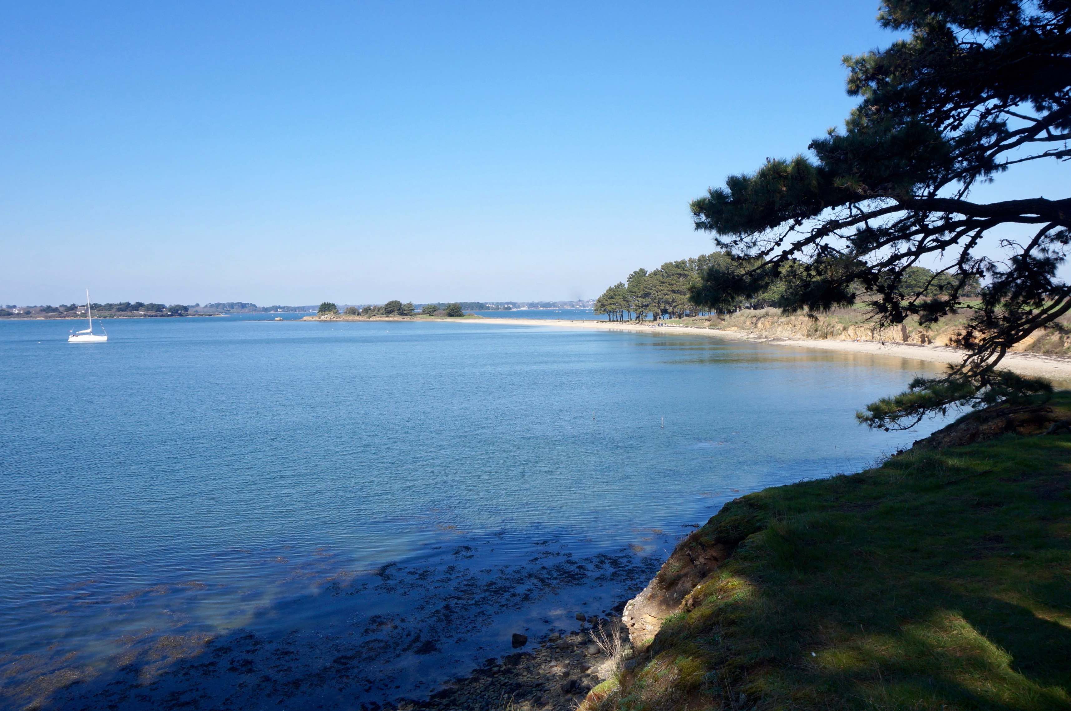
Starting from the old Bono bridge, this route descends the river to the bay of Kerdréan, before plunging into the land. A lovely stroll between sea and countryside.

Already more than 200,000 users!
Uphill
67m
Highest point
32m
Downhill
67m
Lowest point
4m
Route type
Loop
Download the map on your smartphone to save battery and rest assured to always keep access to the route, even without signal.
Includes IGN France and Swisstopo.
I indicate whether dogs are allowed or prohibited on this trail
All year
3 ratings
Also enjoy:

Already more than 200,000 users!