Uphill
35m
Length
16km
Duration
4h
Elev gain
35m
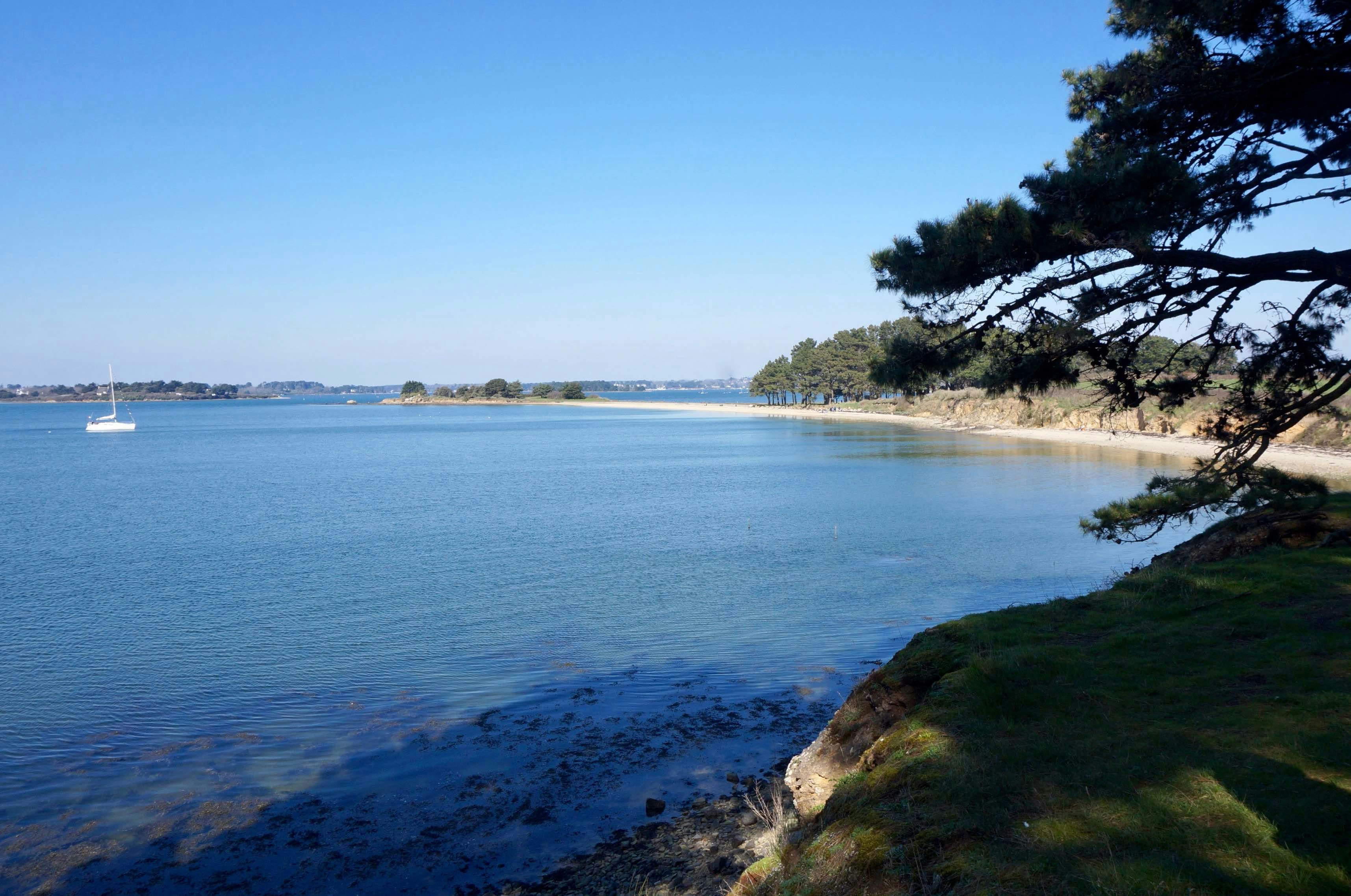
Hike around the second largest island in the Gulf of Morbihan, crossing moors, undergrowth, and passing near the village for those wishing to make a detour. Varied and always magnificent views.

Already more than 200,000 users!
Uphill
35m
Highest point
24m
Downhill
35m
Lowest point
0m
Route type
Loop
Download the map on your smartphone to save battery and rest assured to always keep access to the route, even without signal.
Includes IGN France and Swisstopo.
The island is accessible by boat from Vannes. Arrival at the Béluré pier.
I indicate whether dogs are allowed or prohibited on this trail
All year
1 rating
Also enjoy:

Already more than 200,000 users!


