Uphill
35m
Length
12km
Duration
3h
Elev gain
35m
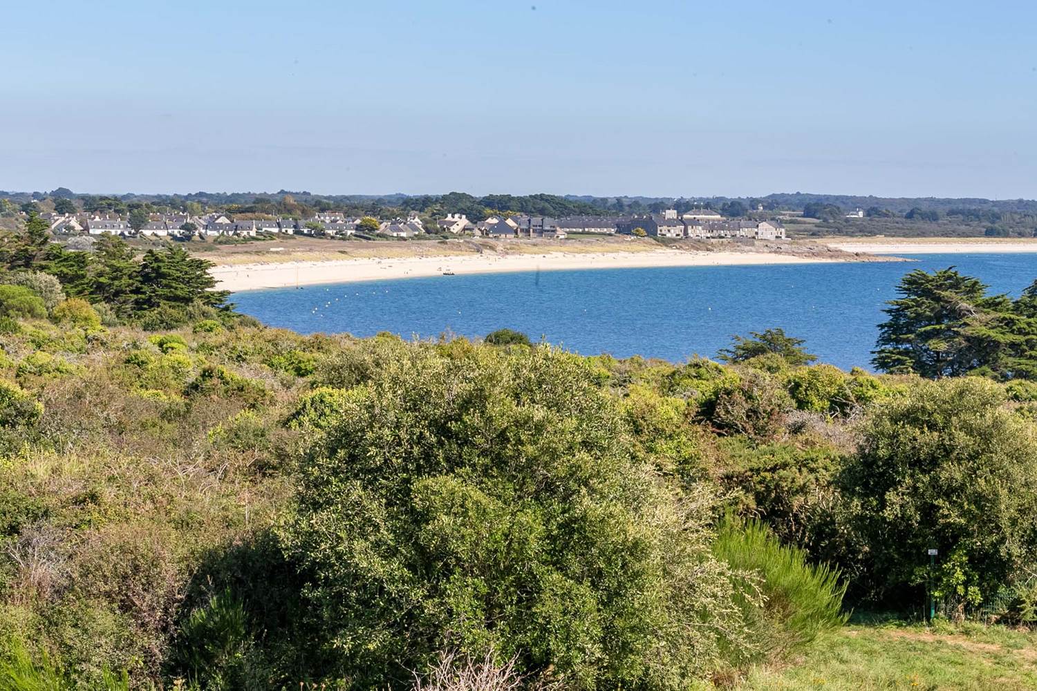
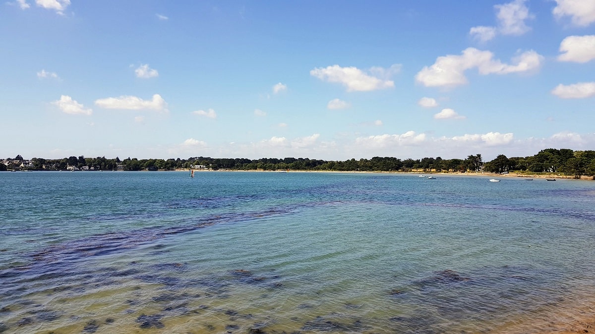
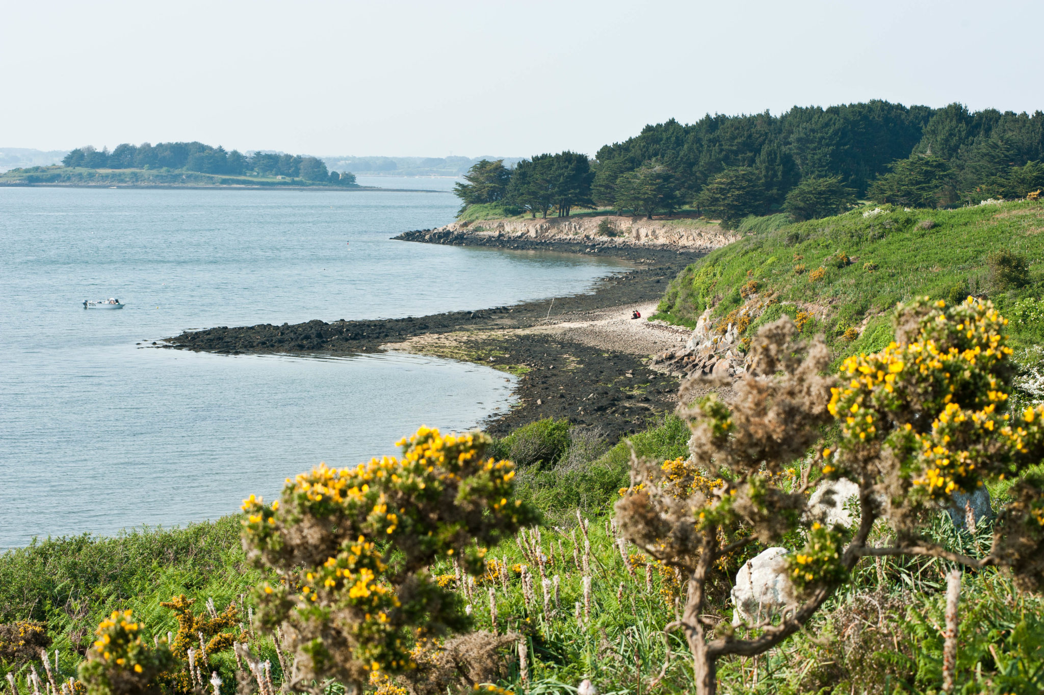
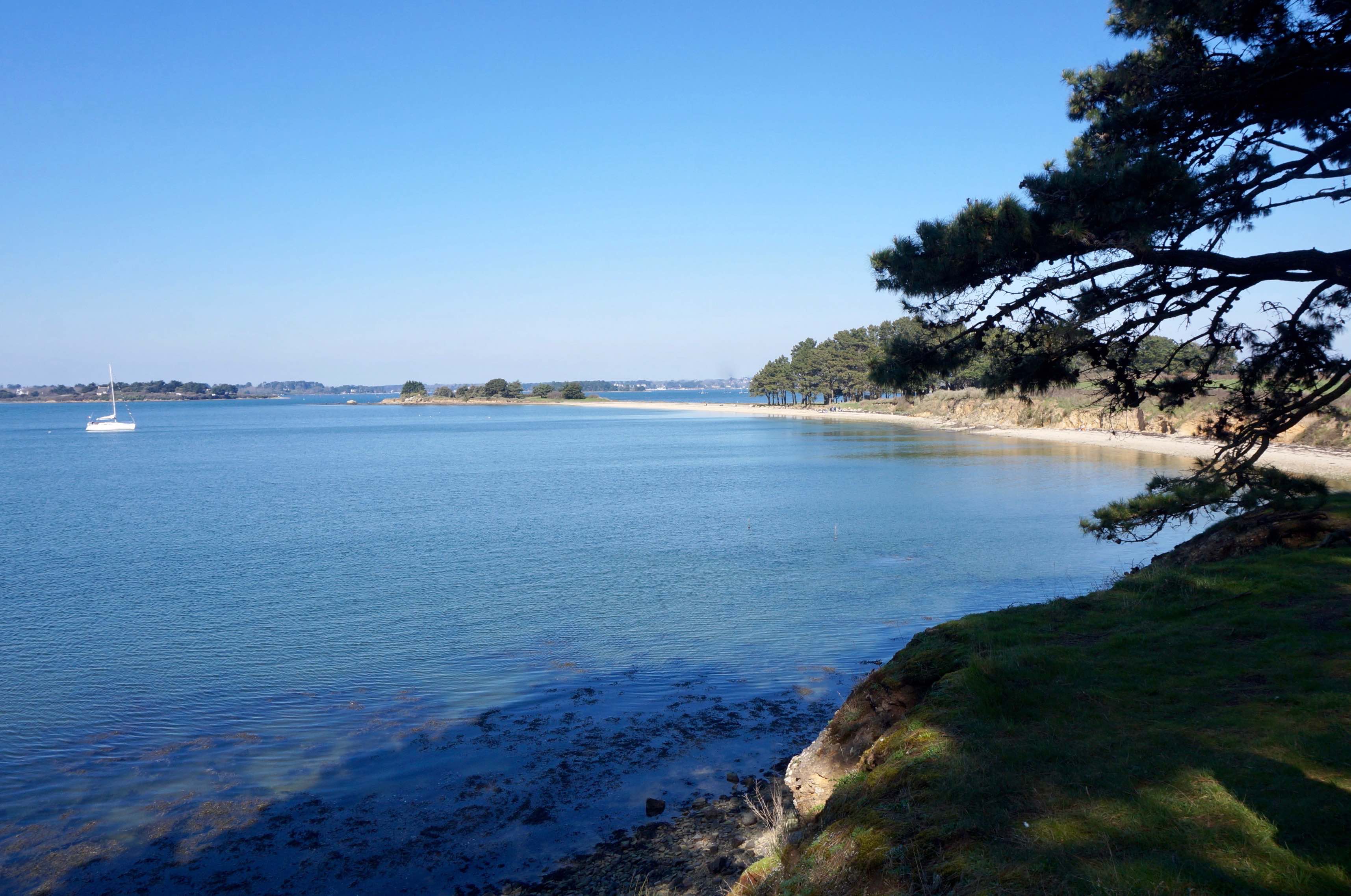
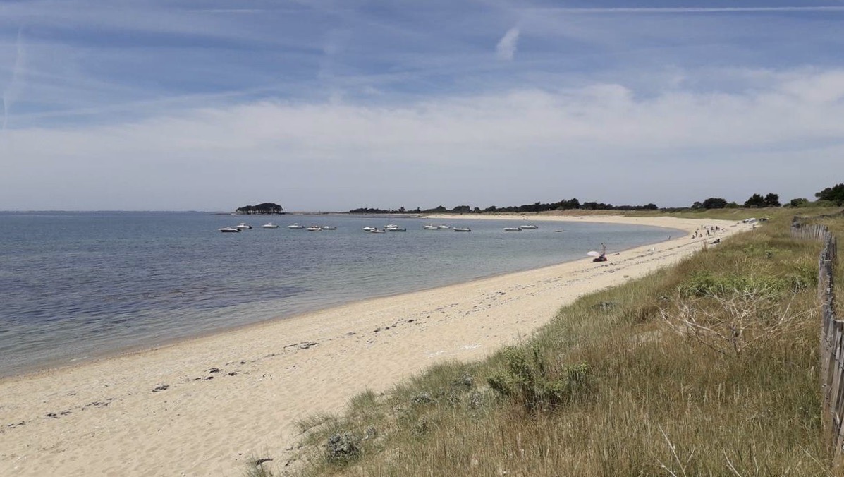
Coastal path at the entrance to the Golfe du Morbihan, which allows you to walk along several pretty beaches and take advantage of the viewpoints of the Kerpenhir and er Hourél capes.

Already more than 200,000 users!
Uphill
35m
Highest point
24m
Downhill
35m
Lowest point
1m
Route type
There and back
Download the map on your smartphone to save battery and rest assured to always keep access to the route, even without signal.
Includes IGN France and Swisstopo.
I indicate whether dogs are allowed or prohibited on this trail
All year
2 ratings
Joli point de vue sur l’entrée du golfe depuis la pointe de Kerpenhir. Je n’ai pas fait la balade en entier, mais seulement la première moitié : pas mal de plages, de landes, et de monde.
Also enjoy:

Already more than 200,000 users!