Uphill
388m

Length
13km
Duration
4h30min
Elev gain
388m
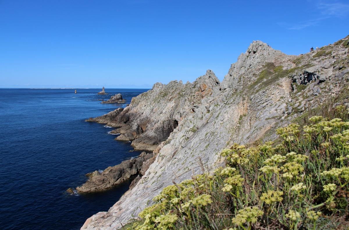
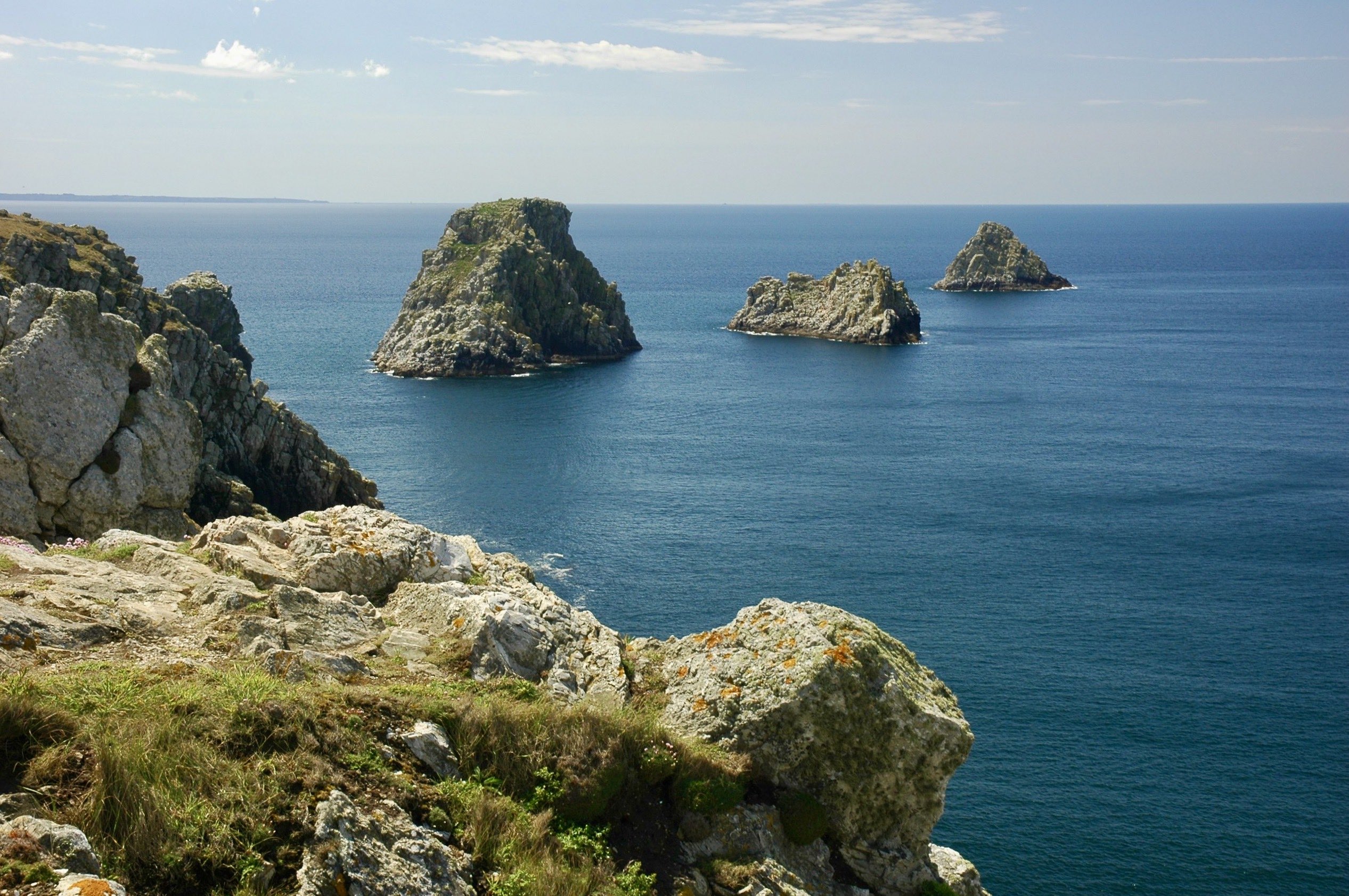
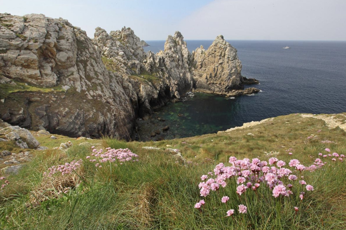
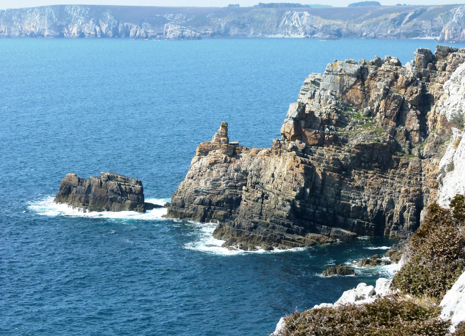
Cliffs overlooking the sea from 70 meters, coastal paths, wind and raging waves ... A magnificent summary of Brittany! Departing from the Pointe du Van, this trail runs along the Baie des Trépassés before going around the Pointe du Raz. Offshore, you can see the islet of La Vieille and the island of Sein.

Already more than 200,000 users!
Uphill
388m
Highest point
81m
Downhill
388m
Lowest point
11m
Route type
Loop
Download the map on your smartphone to save battery and rest assured to always keep access to the route, even without signal.
Includes IGN France and Swisstopo.
I indicate whether dogs are allowed or prohibited on this trail
All year
8 ratings
Cette balade permet de découvrir la pointe du Raz, un incontournable du Finistère. Il y avait pas mal de monde autour du phare.
L’intérêt de cet itinéraire est de découvrir les alentours, qui sont moins fréquentés et tout aussi exceptionnels. Coup de coeur pour la baie des Trépassés et sa grande plage, qui est apparemment le paradis des surfeurs, en témoignent les nombreuses planches dans l’eau et les minivans garés à proximité.
Certes c’est une boucle assez longue, mais c’est faisable sur une journée en prenant son temps, ou sur une demie-journée en marchant à un bon rythme.
Also enjoy:

Already more than 200,000 users!