Uphill
64m
Length
4km
Duration
1h
Elev gain
64m
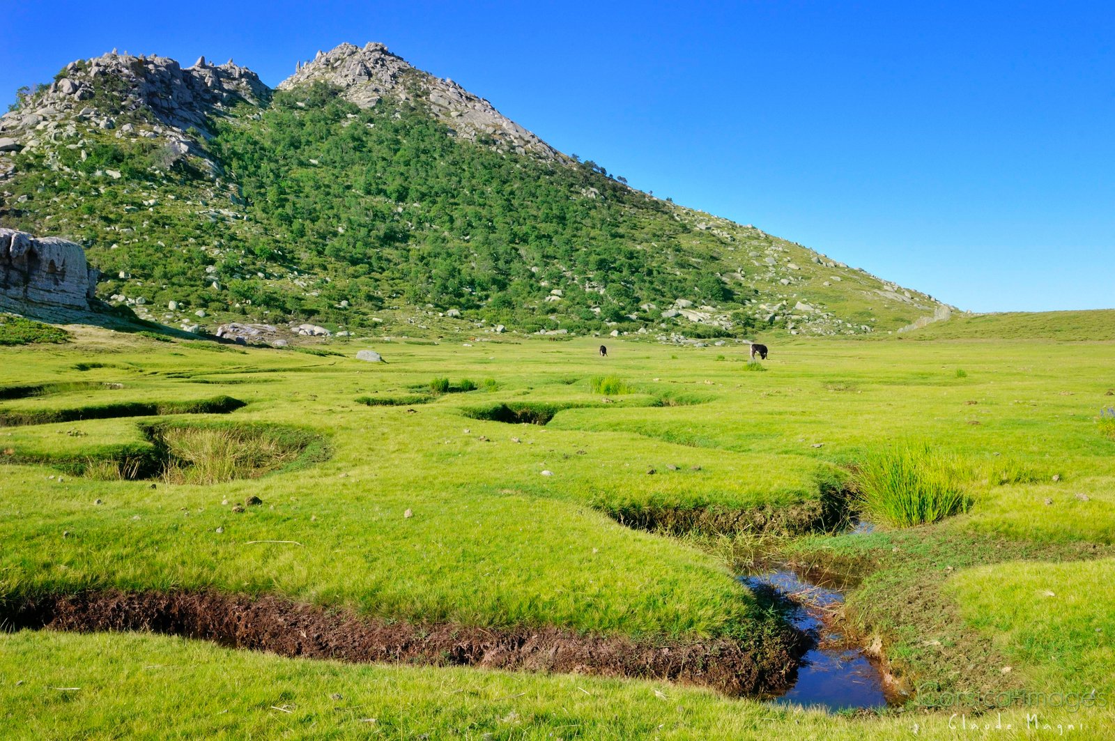
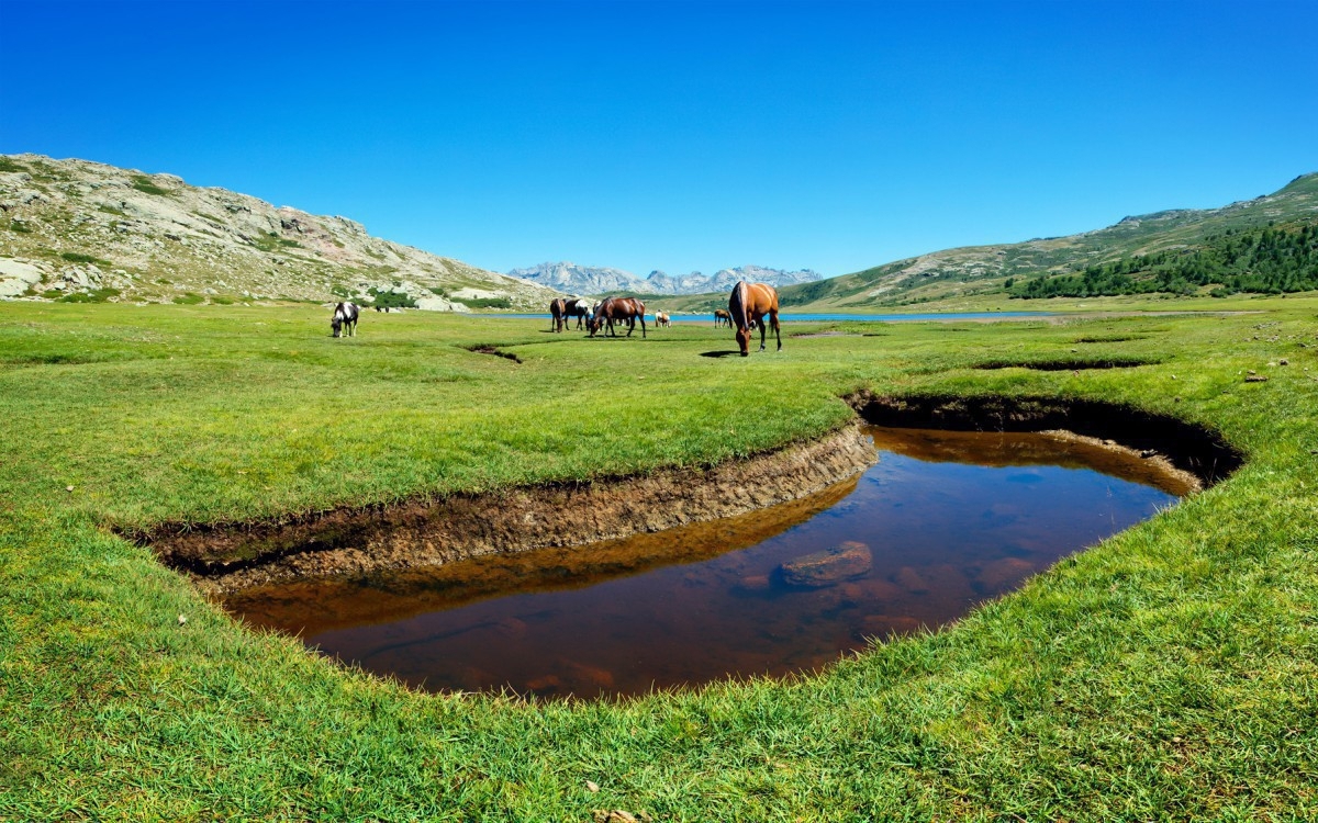
This hike takes place in the regional natural park of Corsica and allows you to discover the Coscione plateau. It is located at an altitude of 1500 m in the highlands of Alta Rocca, a vast area covered with grassy expanses and home to many sheepfolds.

Already more than 200,000 users!
Uphill
64m
Highest point
1581m
Downhill
64m
Lowest point
1518m
Route type
Loop
Download the map on your smartphone to save battery and rest assured to always keep access to the route, even without signal.
Includes IGN France and Swisstopo.
I indicate whether dogs are allowed or prohibited on this trail
Can be difficult in Winter
2 ratings
Cette randonnée est magnifique mais pratiquement inaccessible en voiture la route qui amène au site est complètement défoncé et pleine de trous énormes il faut vraiment un 4x4 pour y accéder
C’est quand même incroyable que la commune laisse des routes dans cet état aussi délabré voir inaccessible en voiture
Randonnée magnifique, mais difficile d'accès en voiture. Un suv est recommandé car la route est très abîmée.
Also enjoy:

Already more than 200,000 users!