Uphill
1655m
Length
22km
Duration
11h30min
Elev gain
1655m
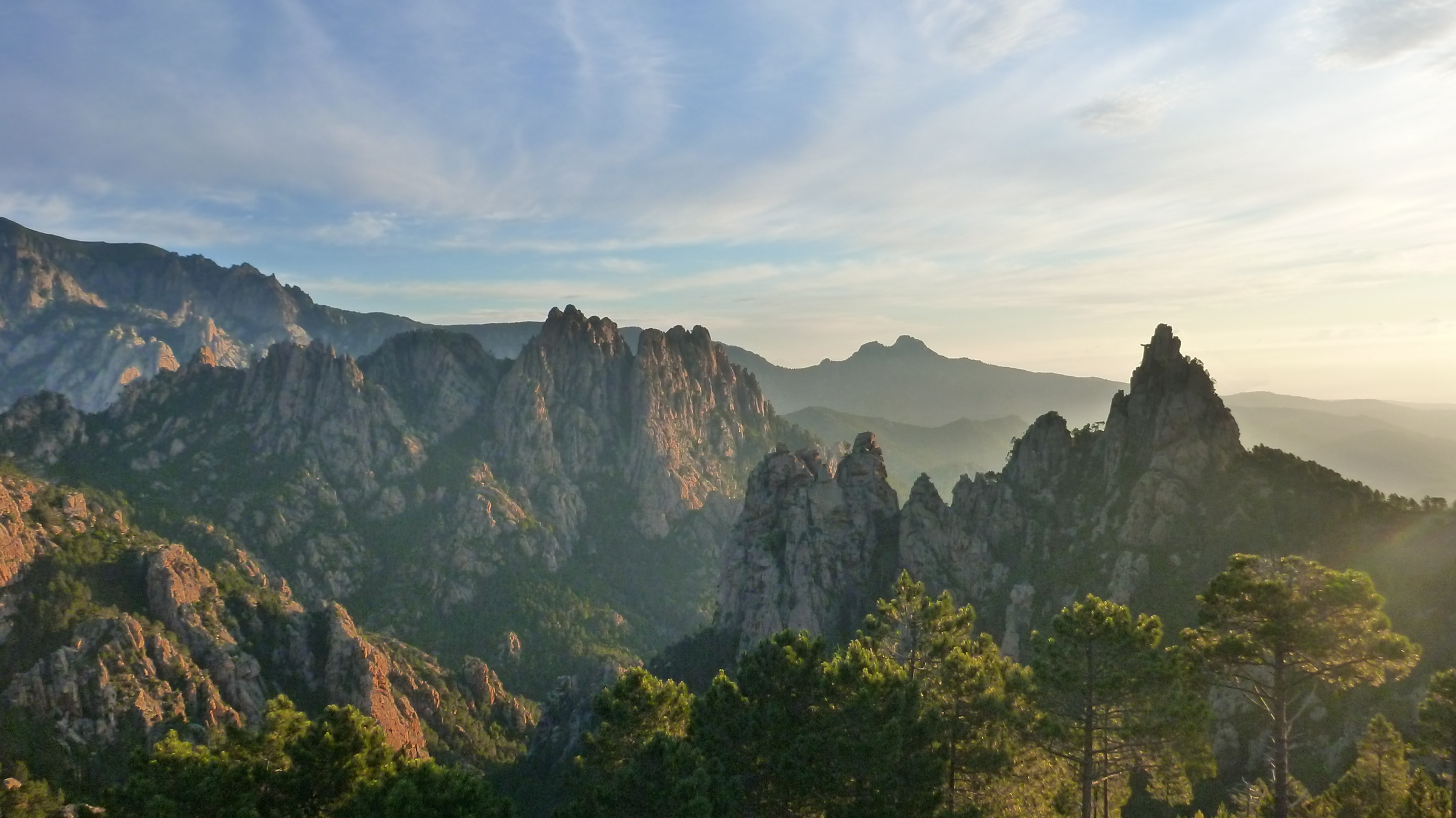
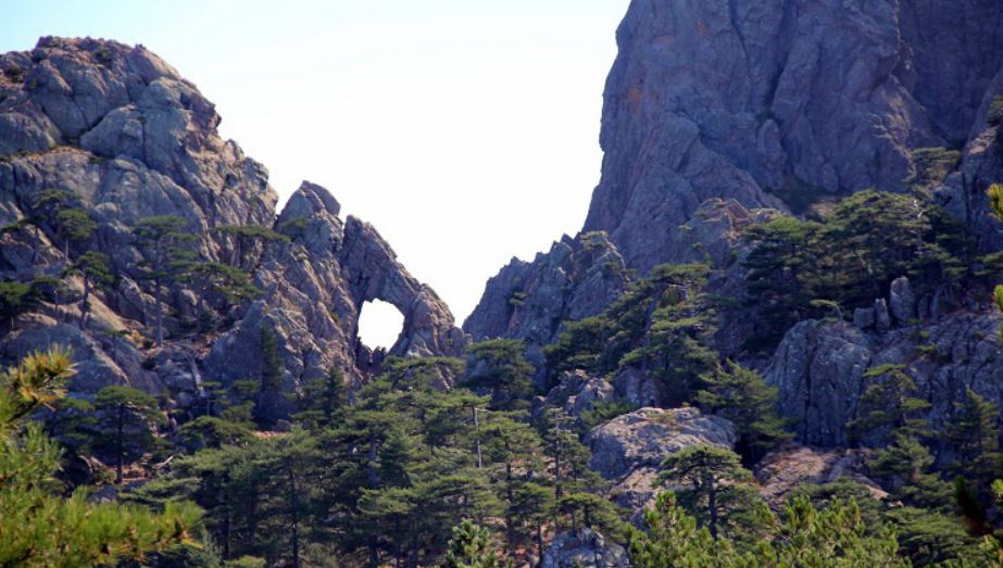
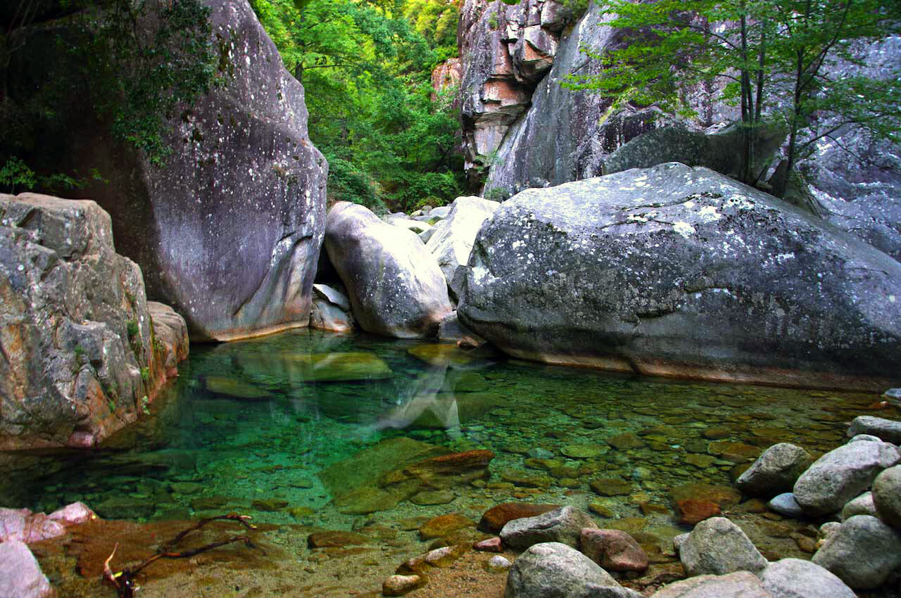
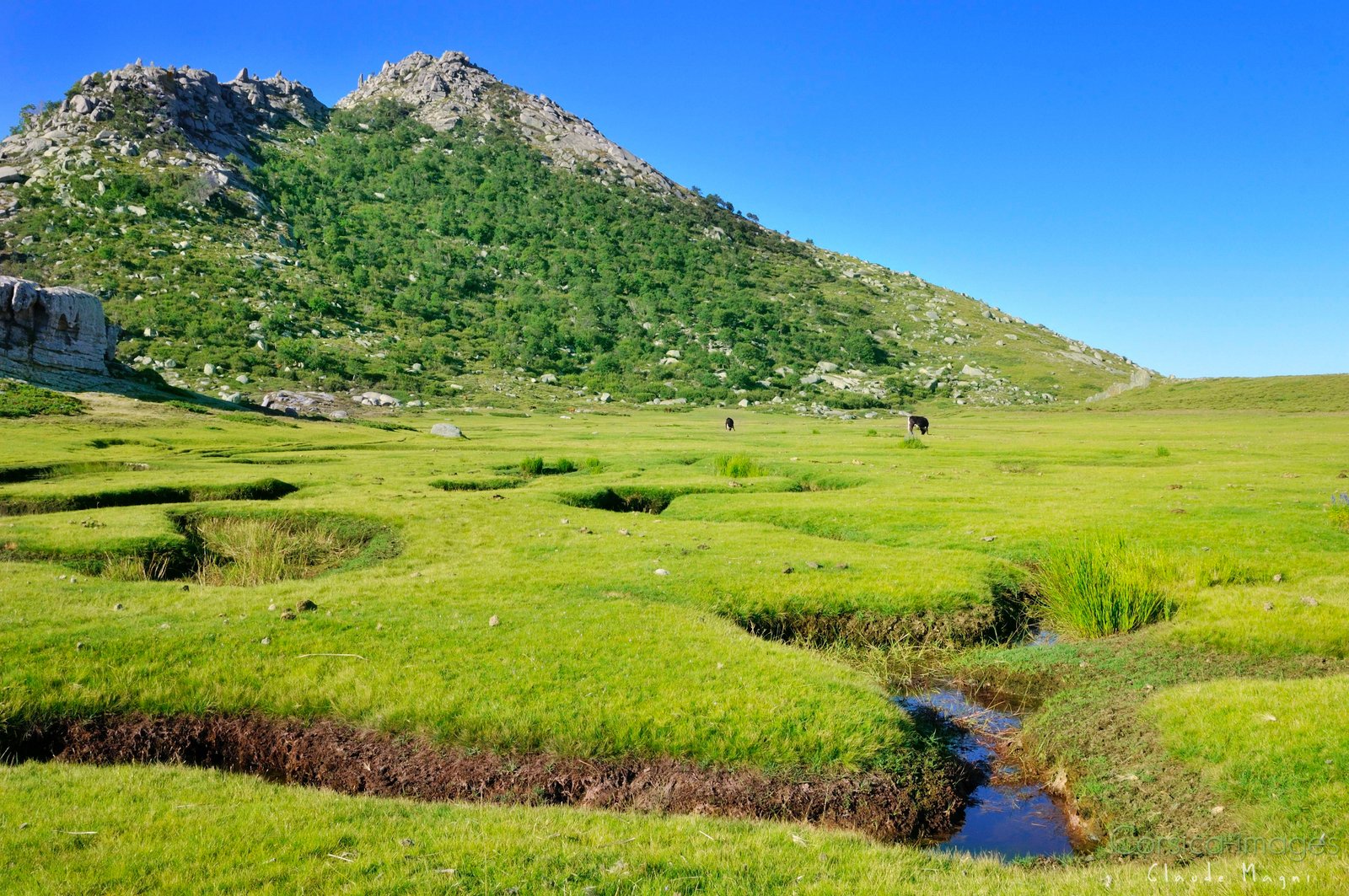
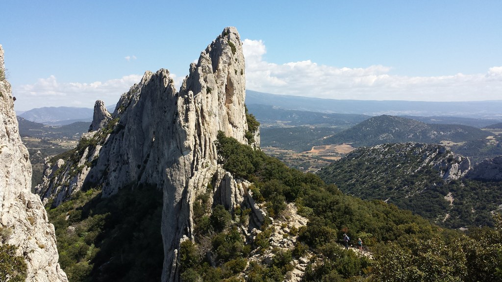
Ascent of the highest point in the south of Corsica (2134 m). The landscapes are varied, between forests, the famous needles of Bavella, and a beautiful panorama at the top.

Already more than 200,000 users!
Uphill
1655m
Highest point
2111m
Downhill
1655m
Lowest point
1025m
Route type
There and back
Download the map on your smartphone to save battery and rest assured to always keep access to the route, even without signal.
Includes IGN France and Swisstopo.
I indicate whether dogs are allowed or prohibited on this trail
From May to September
0 ratings
Also enjoy:

Already more than 200,000 users!