Uphill
130m
Length
5km
Duration
1h30min
Elev gain
130m
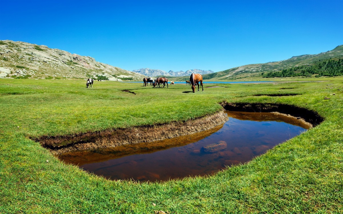
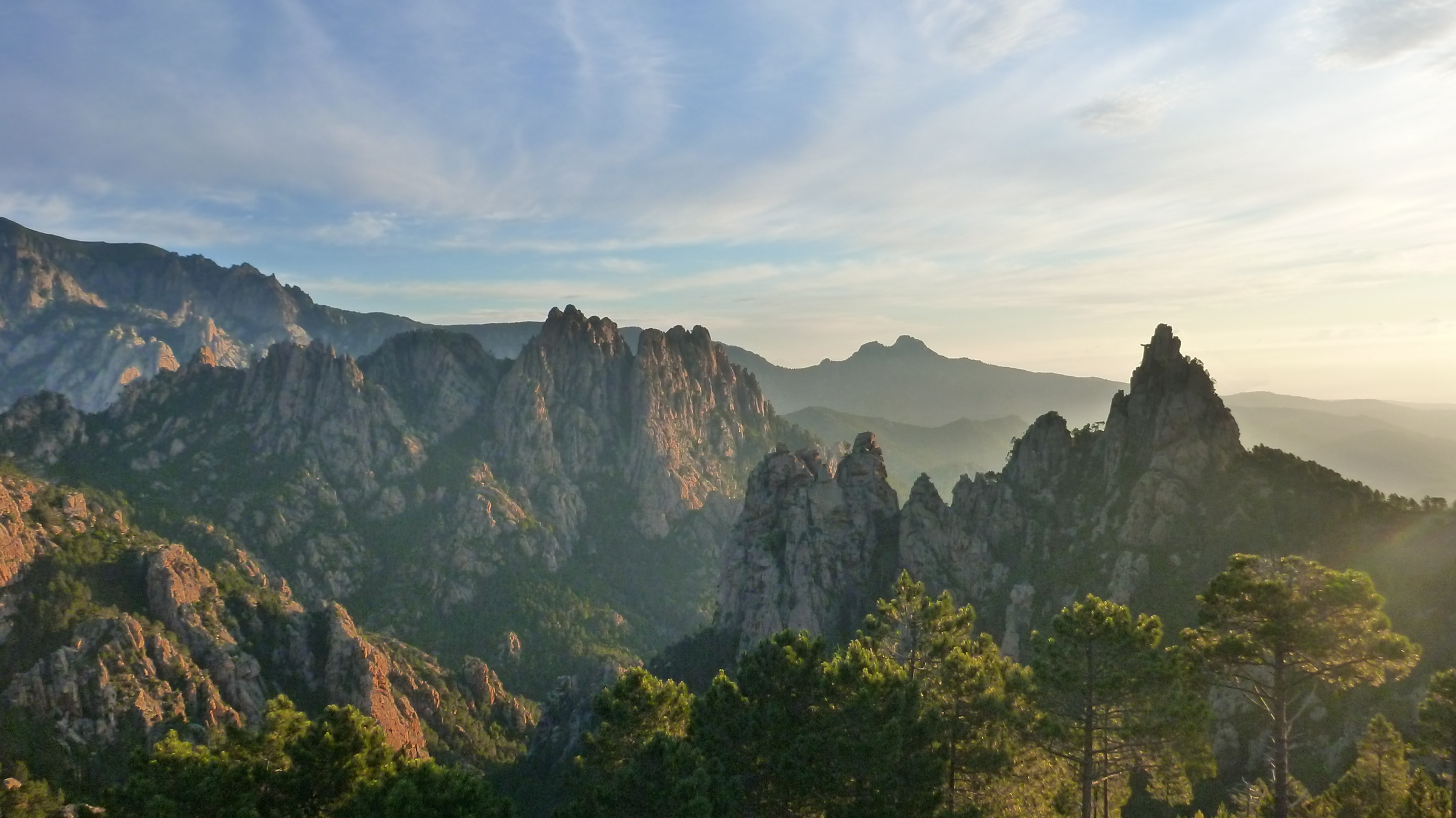
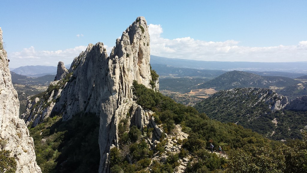
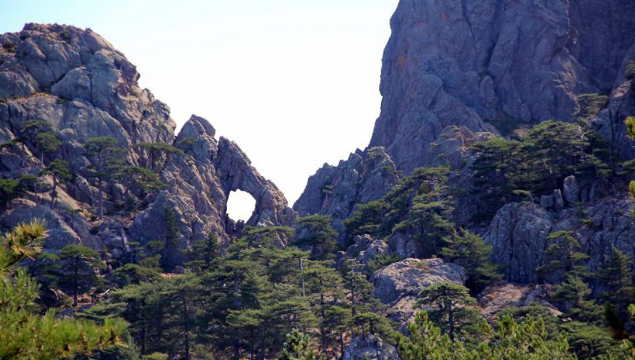
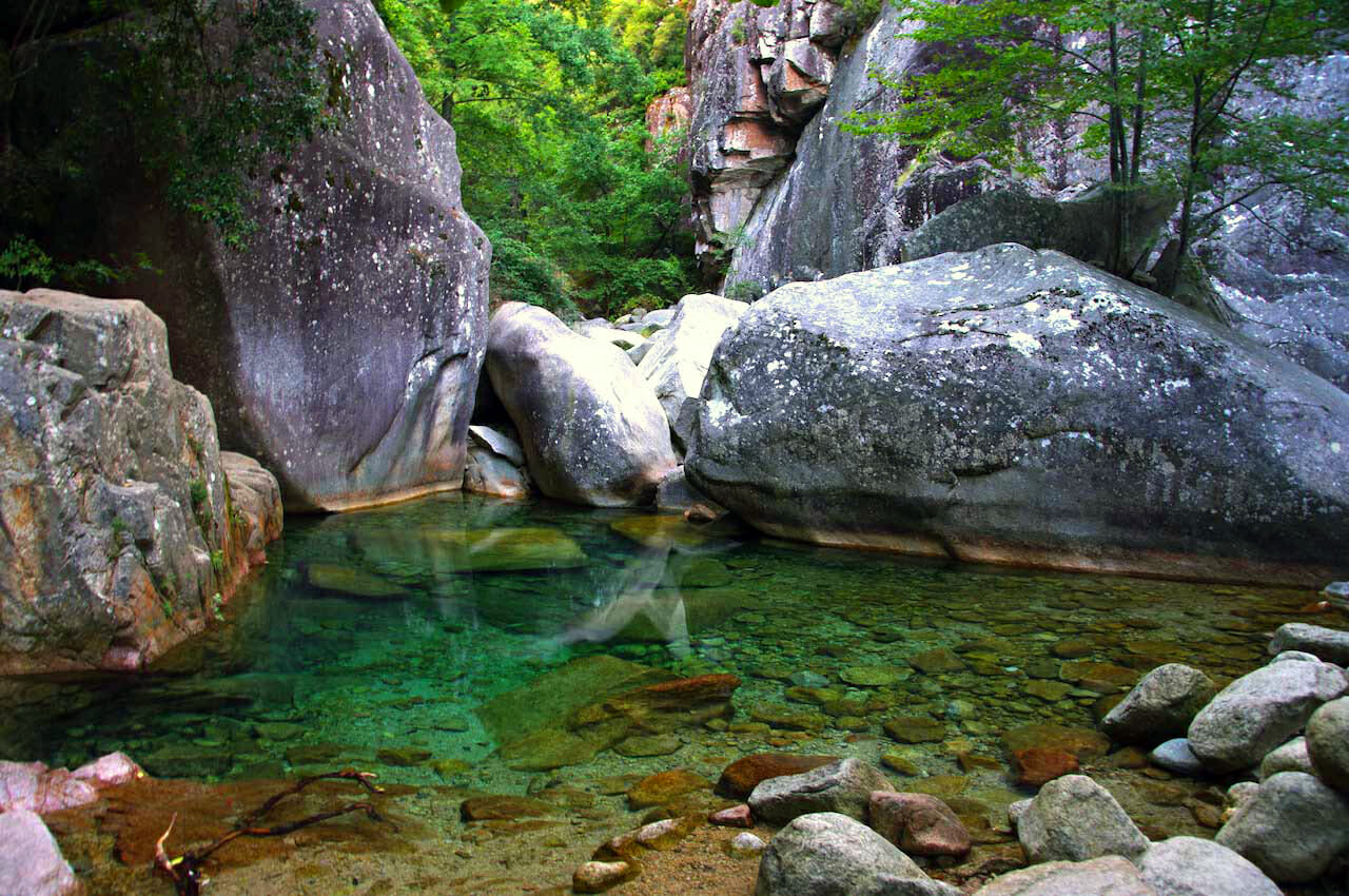
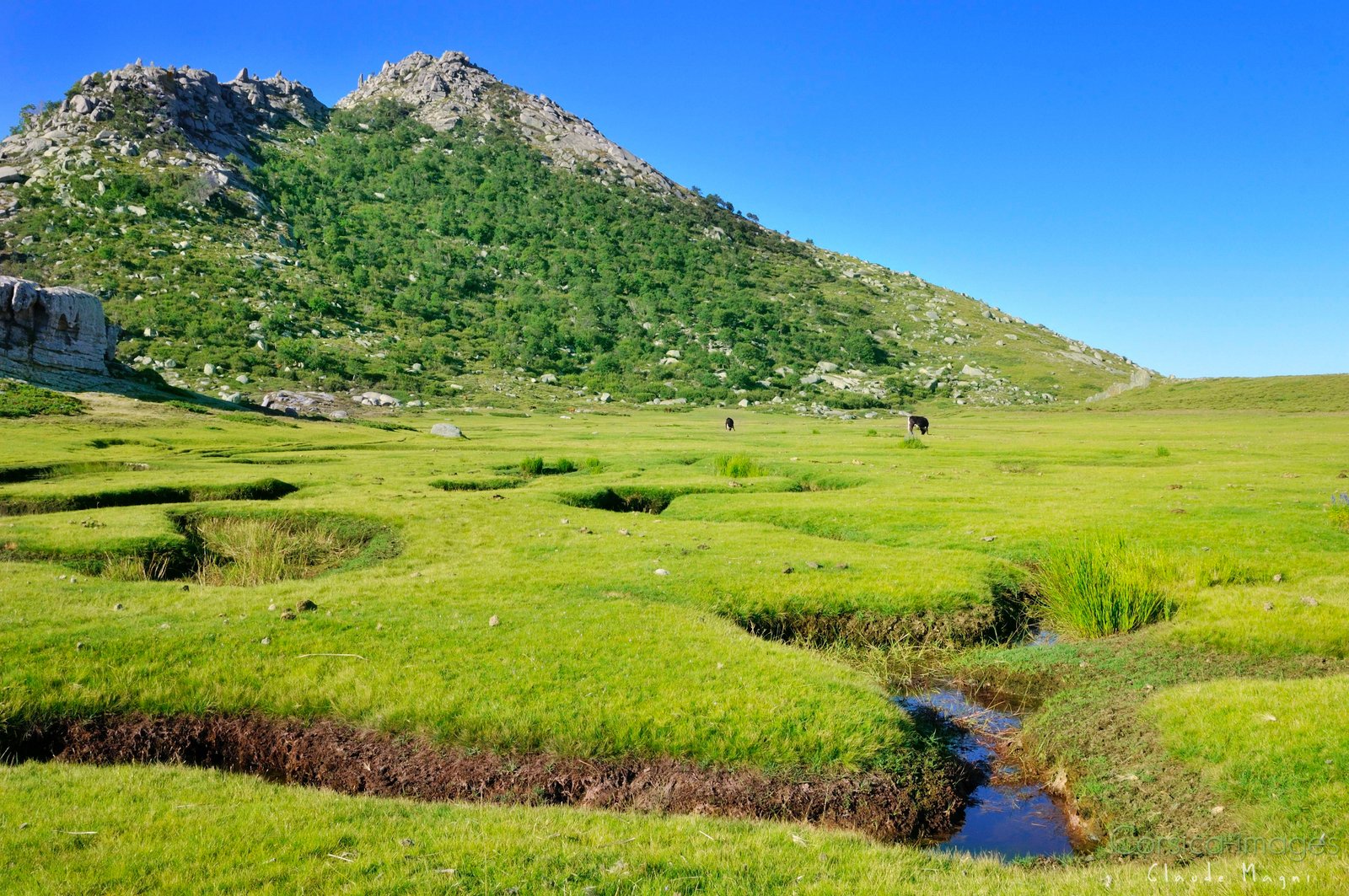
This path located in the regional natural park of Corsica offers a beautiful panorama of the Incudines massif. It is also regularly possible to observe herds of horses and pigs roaming free.

Already more than 200,000 users!
Uphill
130m
Highest point
1544m
Downhill
130m
Lowest point
1409m
Route type
Loop
Download the map on your smartphone to save battery and rest assured to always keep access to the route, even without signal.
Includes IGN France and Swisstopo.
I indicate whether dogs are allowed or prohibited on this trail
Can be difficult in Winter
2 ratings
Also enjoy:

Already more than 200,000 users!