Uphill
201m
Length
6km
Duration
2h
Elev gain
201m
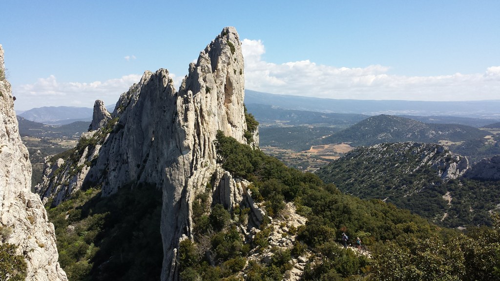
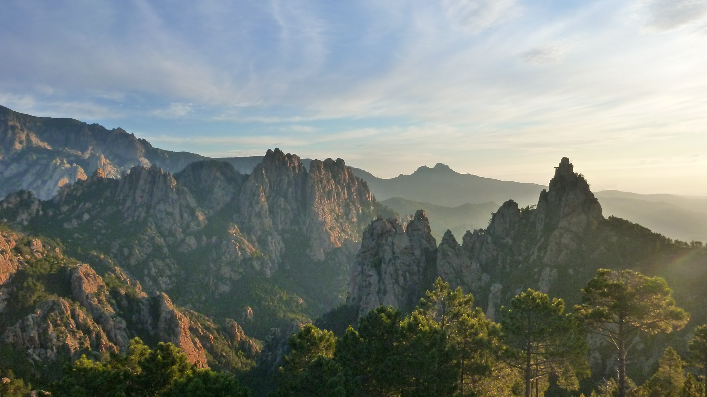
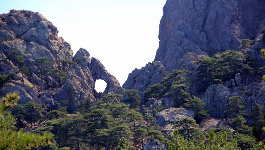
From the Bavella pass, here is a pleasant hike taking place mainly in the forest, with an ascent in a rockier part towards the end. The objective of the march is a hole 8 meters in diameter, dug in the rock by erosion.

Already more than 200,000 users!
Uphill
201m
Highest point
1318m
Downhill
201m
Lowest point
1219m
Route type
There and back
Download the map on your smartphone to save battery and rest assured to always keep access to the route, even without signal.
Includes IGN France and Swisstopo.
I indicate whether dogs are allowed or prohibited on this trail
Can be difficult in Winter
6 ratings
U cumpuleddu in corsu…
Very easy forest trail. Lots of other trails in the area so it’s important to watch the marks.
Also enjoy:

Already more than 200,000 users!