Uphill
777m
Length
15km
Duration
6h
Elev gain
777m
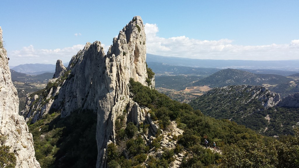
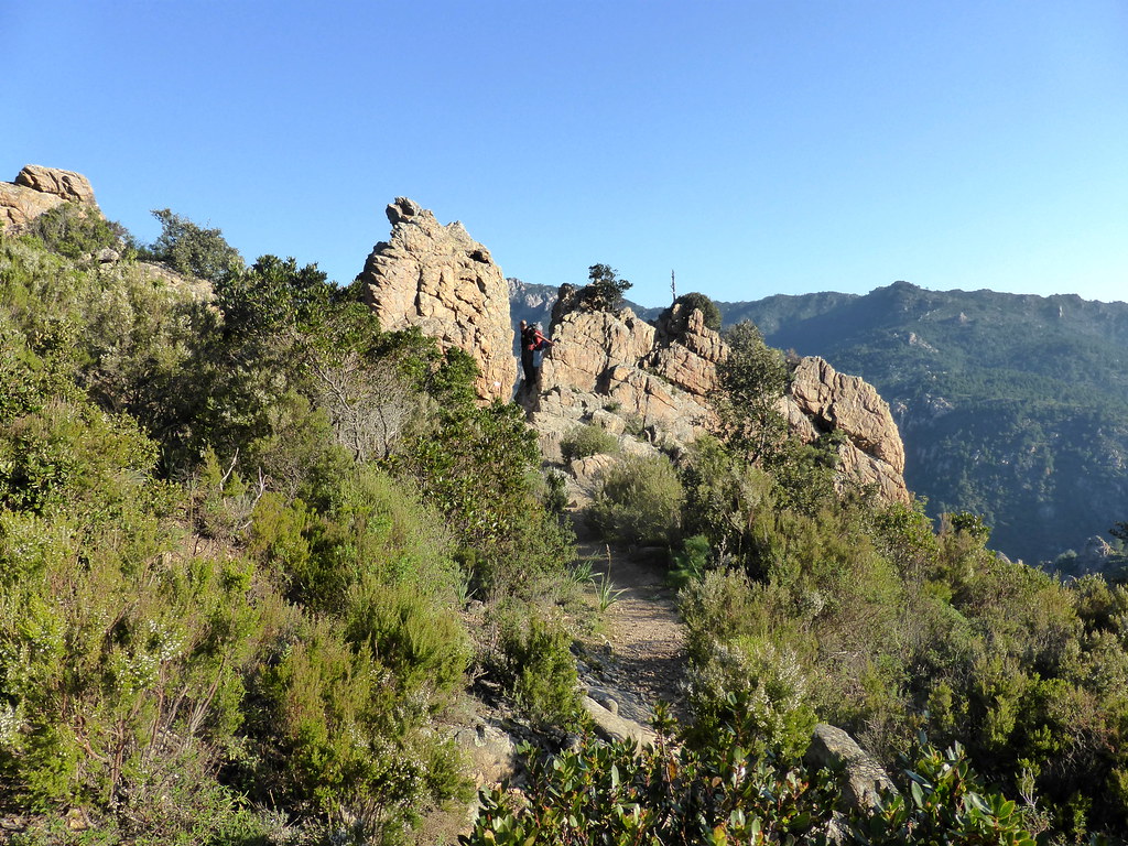
Departing from Conca, this hike leads first through the maquis, then through a more mineral landscape to the Bocca d'Usciolu pass.
Note that the first half of the trail is not marked and is sometimes overgrown.

Already more than 200,000 users!
Uphill
777m
Highest point
697m
Downhill
777m
Lowest point
227m
Route type
Loop
Download the map on your smartphone to save battery and rest assured to always keep access to the route, even without signal.
Includes IGN France and Swisstopo.
I indicate whether dogs are allowed or prohibited on this trail
All year
1 rating
Nous y sommes allé hier mais le démarrage de Conca est impraticable car plein de ronces. Après avoir demandé notre route, il semble que le sentier soit peu fréquenté. Aucun balisage vu pour avancer
Dommage, nous nous sommes rabattus sur la dernière étape du GR20
Coucou à Charles et merci pour son application qui est vraiment très bien faite
Also enjoy:

Already more than 200,000 users!