Uphill
176m
Length
4km
Duration
1h30min
Elev gain
176m
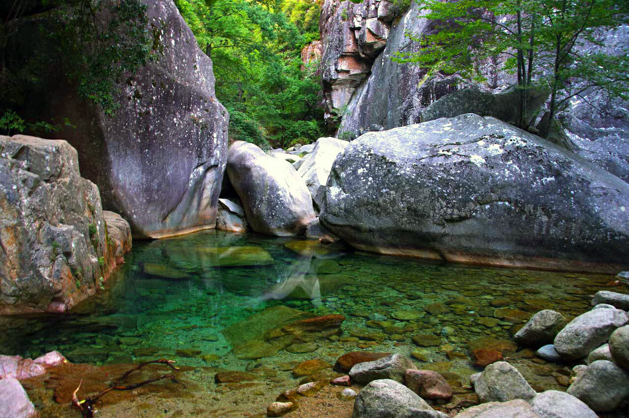
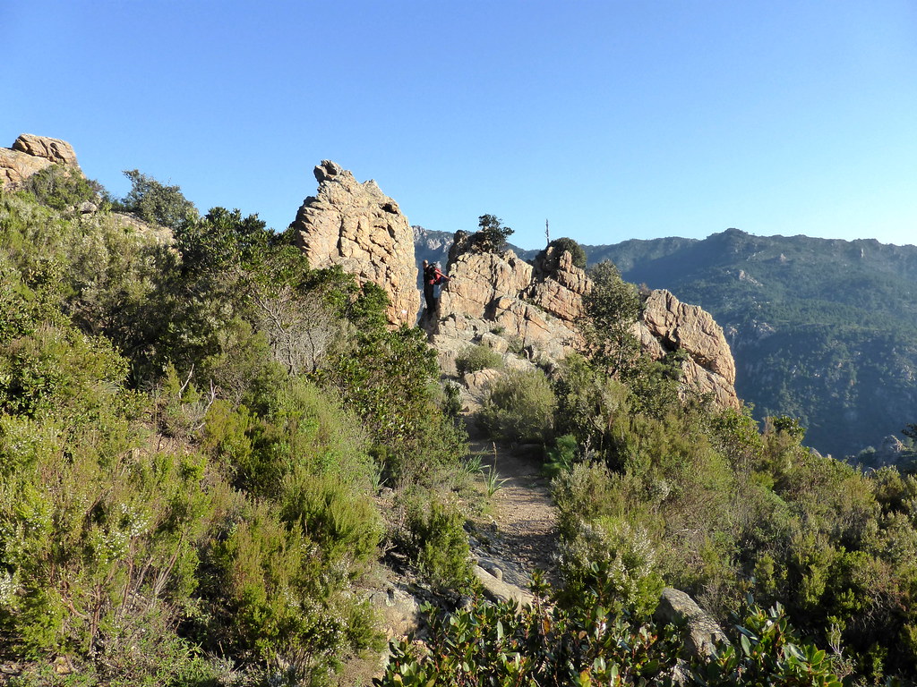
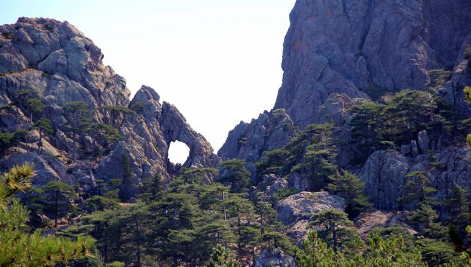
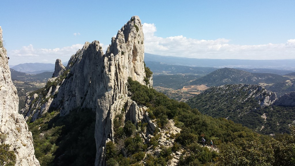
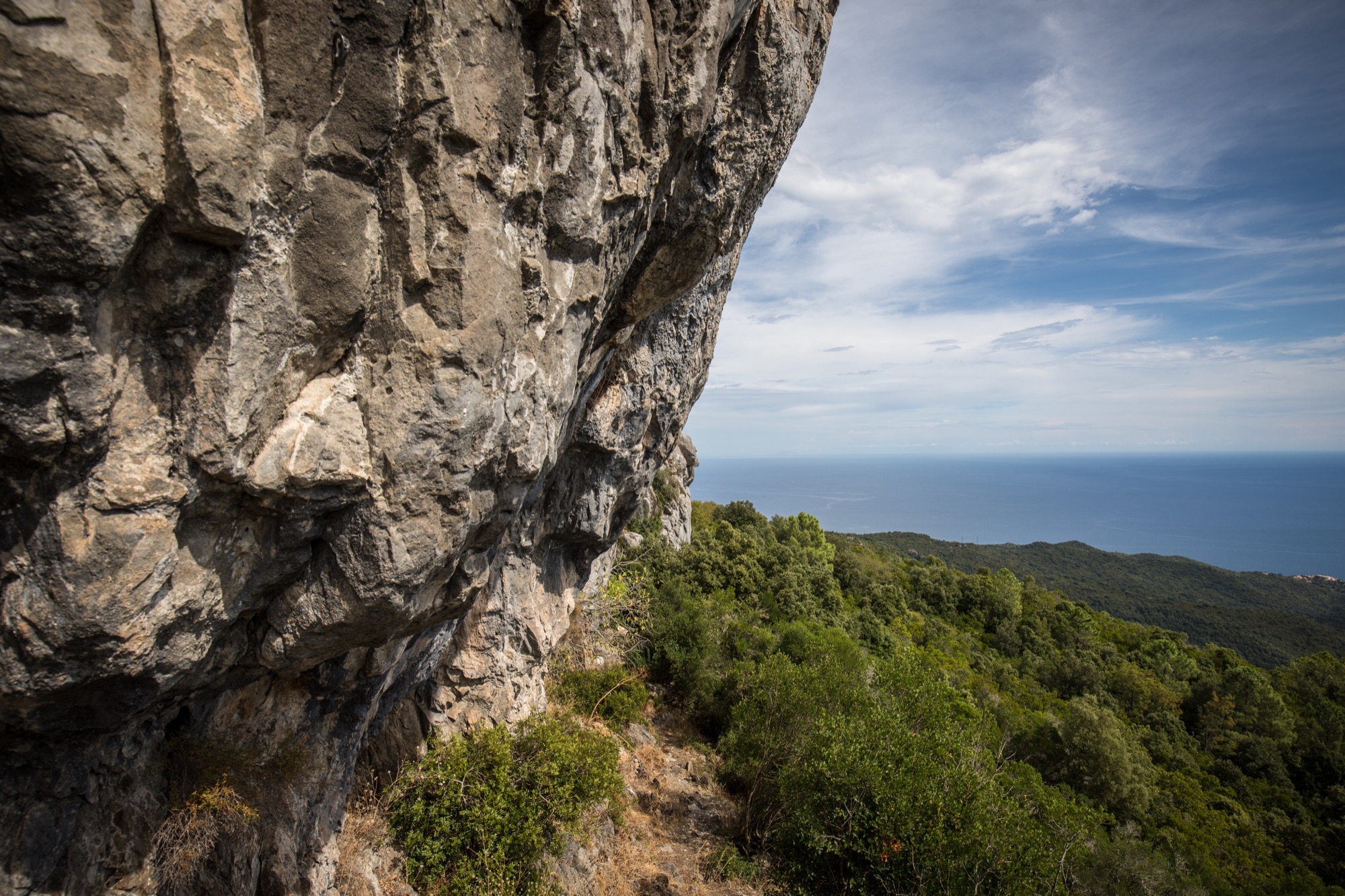
Round trip hike to the summit of Monte Santu (599 m), which offers a nice panoramic view of the Bavella massif on one side, and on the eastern plain and part of the Côte des Nacres on the other side .

Already more than 200,000 users!
Uphill
176m
Highest point
576m
Downhill
176m
Lowest point
389m
Route type
There and back
Download the map on your smartphone to save battery and rest assured to always keep access to the route, even without signal.
Includes IGN France and Swisstopo.
I indicate whether dogs are allowed or prohibited on this trail
All year
3 ratings
Randonnée très agréable, presque la totalité de la randonnée est dans le maquis, la vu en haut du Monte Santu est splendide mélangeant la beauté des aiguilles de Bavella et celle de la côte Corse.
Also enjoy:

Already more than 200,000 users!