Uphill
620m
Length
6km
Duration
4h
Elev gain
620m
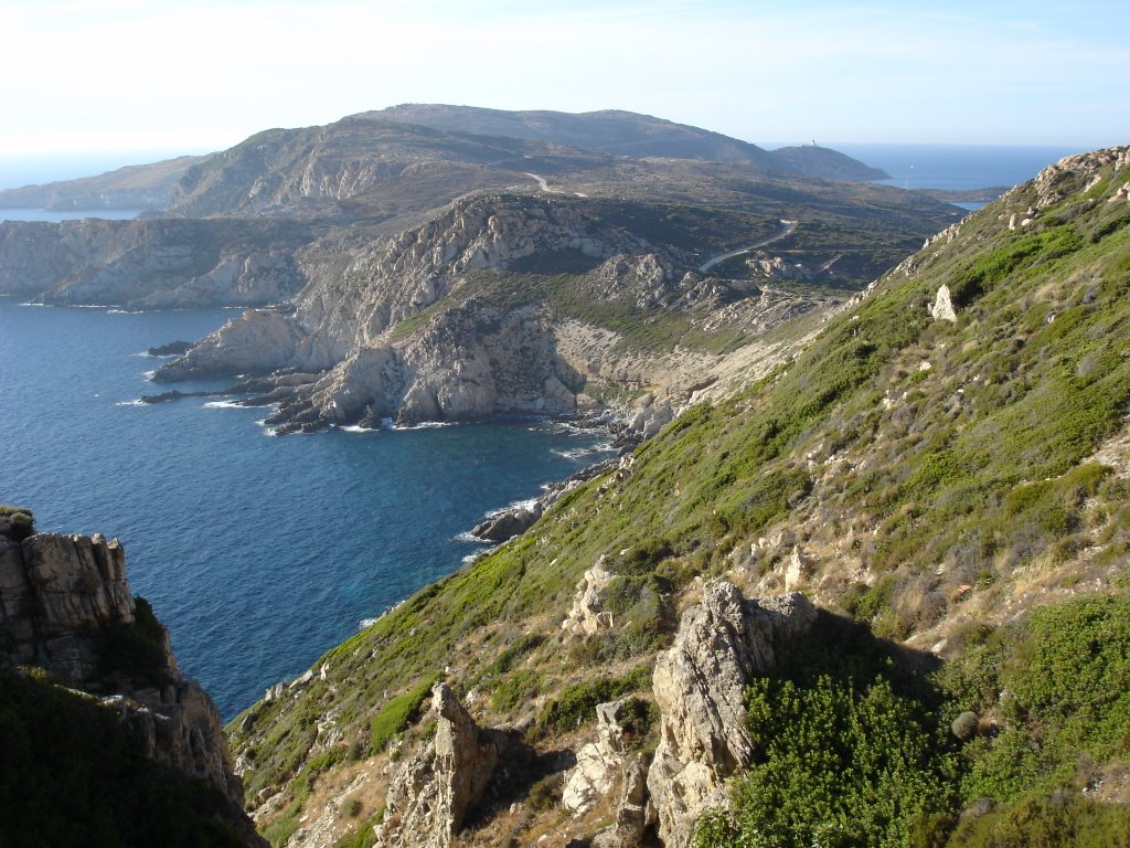
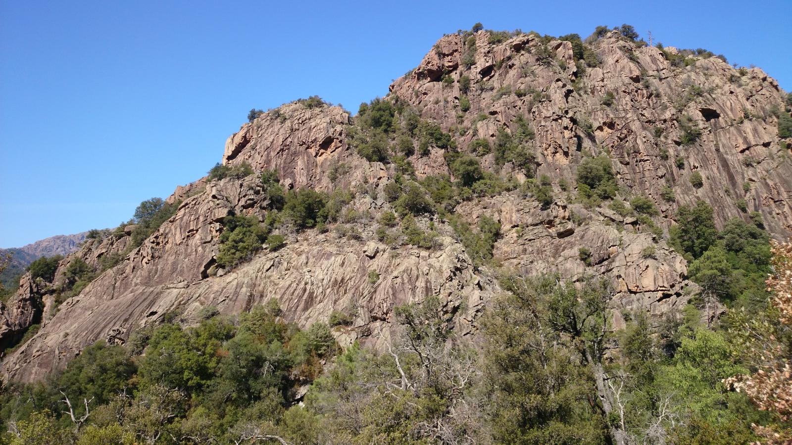
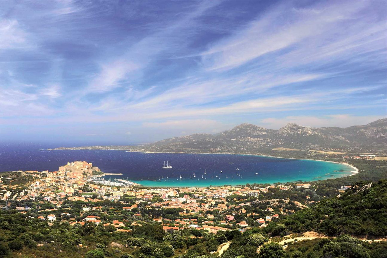
This hike joins the Austrian Cross, a 7-meter-high cross visible from Calvi, which is erected at the top of Capu di a Veta (703 m).
Magnificent panorama over the Gulf of Calvi, and over some of the highest peaks in Corsica.

Already more than 200,000 users!
Uphill
620m
Highest point
689m
Downhill
620m
Lowest point
67m
Route type
Loop
Download the map on your smartphone to save battery and rest assured to always keep access to the route, even without signal.
Includes IGN France and Swisstopo.
I indicate whether dogs are allowed or prohibited on this trail
All year
4 ratings
Also enjoy:

Already more than 200,000 users!