Uphill
626m
Length
4km
Duration
2h30min
Elev gain
626m
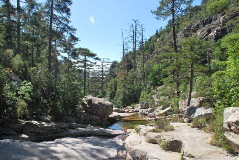
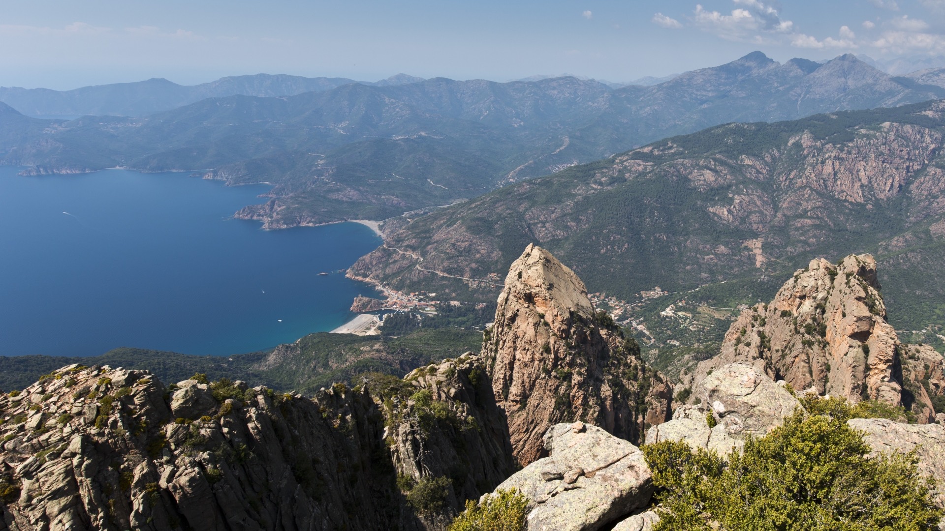
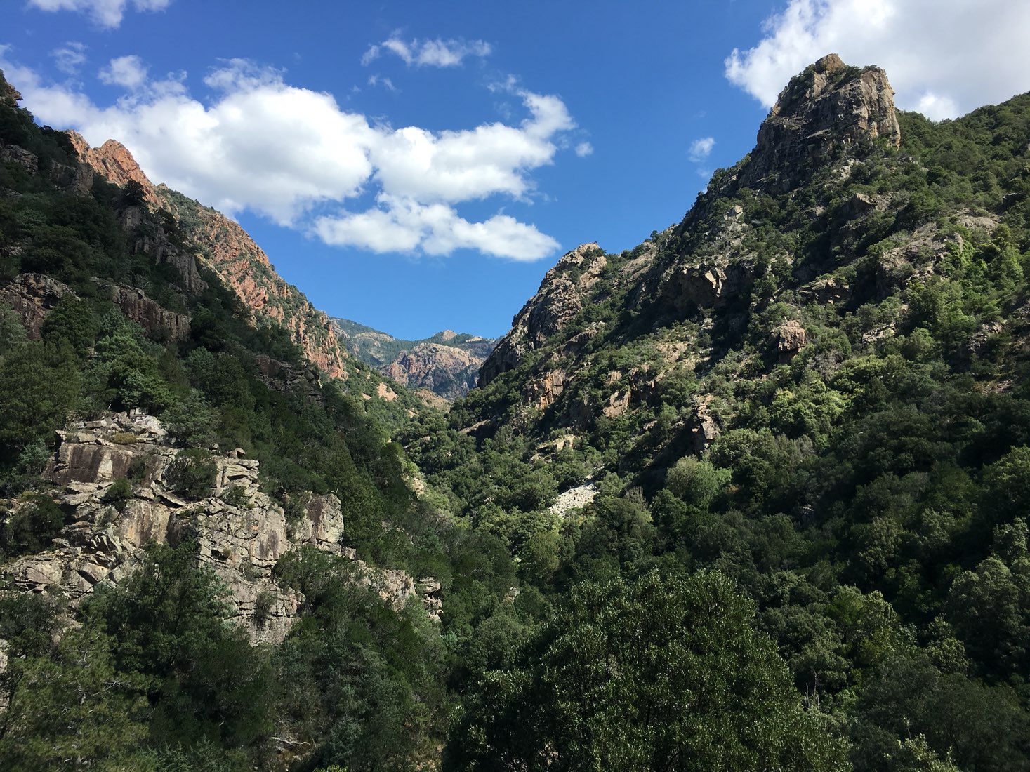
Trail in fairly dense vegetation, along the river. Ideal for a picnic.
Presence of two Genoese bridges classified historic monuments.

Already more than 200,000 users!
Uphill
626m
Highest point
804m
Downhill
49m
Lowest point
222m
Route type
One way
Download the map on your smartphone to save battery and rest assured to always keep access to the route, even without signal.
Includes IGN France and Swisstopo.
West start: roadside parking, near the bridge spanning the gorges.
East start: parking next to the Evisa cemetery.
I indicate whether dogs are allowed or prohibited on this trail
All year
1 rating
Super sentier que j’ai effectué en aller-retour. Très agréable de profiter de l’ombre des arbres, et de la fraîcheur du cours d’eau
Also enjoy:

Already more than 200,000 users!