Uphill
731m
Length
13km
Duration
5h30min
Elev gain
731m
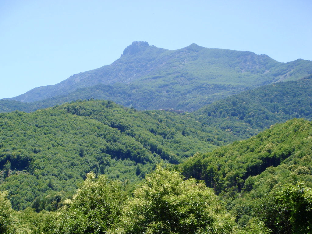
From the Col du Pratu, this is a there and back trail leading to the summit of Monte San Petrone (1,767 meters), which offers a magnificent 360° panorama of Castagniccia. The rest of the hike takes place mainly in a beech forest, apart from a rocky end.

Already more than 200,000 users!
Uphill
731m
Highest point
1732m
Downhill
731m
Lowest point
995m
Route type
There and back
Download the map on your smartphone to save battery and rest assured to always keep access to the route, even without signal.
Includes IGN France and Swisstopo.
I indicate whether dogs are allowed or prohibited on this trail
From May to October
0 ratings
Also enjoy:

Already more than 200,000 users!