Uphill
403m

Length
4km
Duration
2h30min
Elev gain
403m
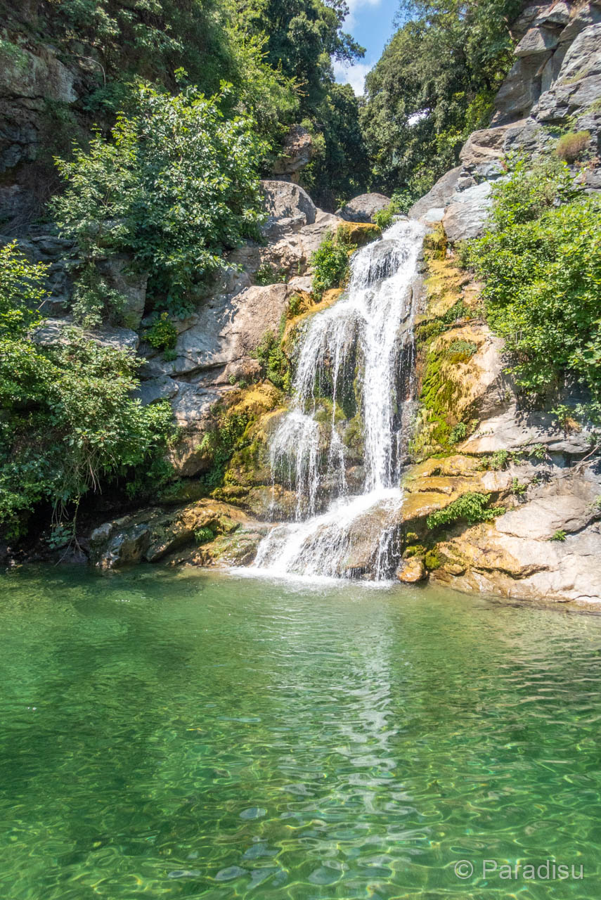
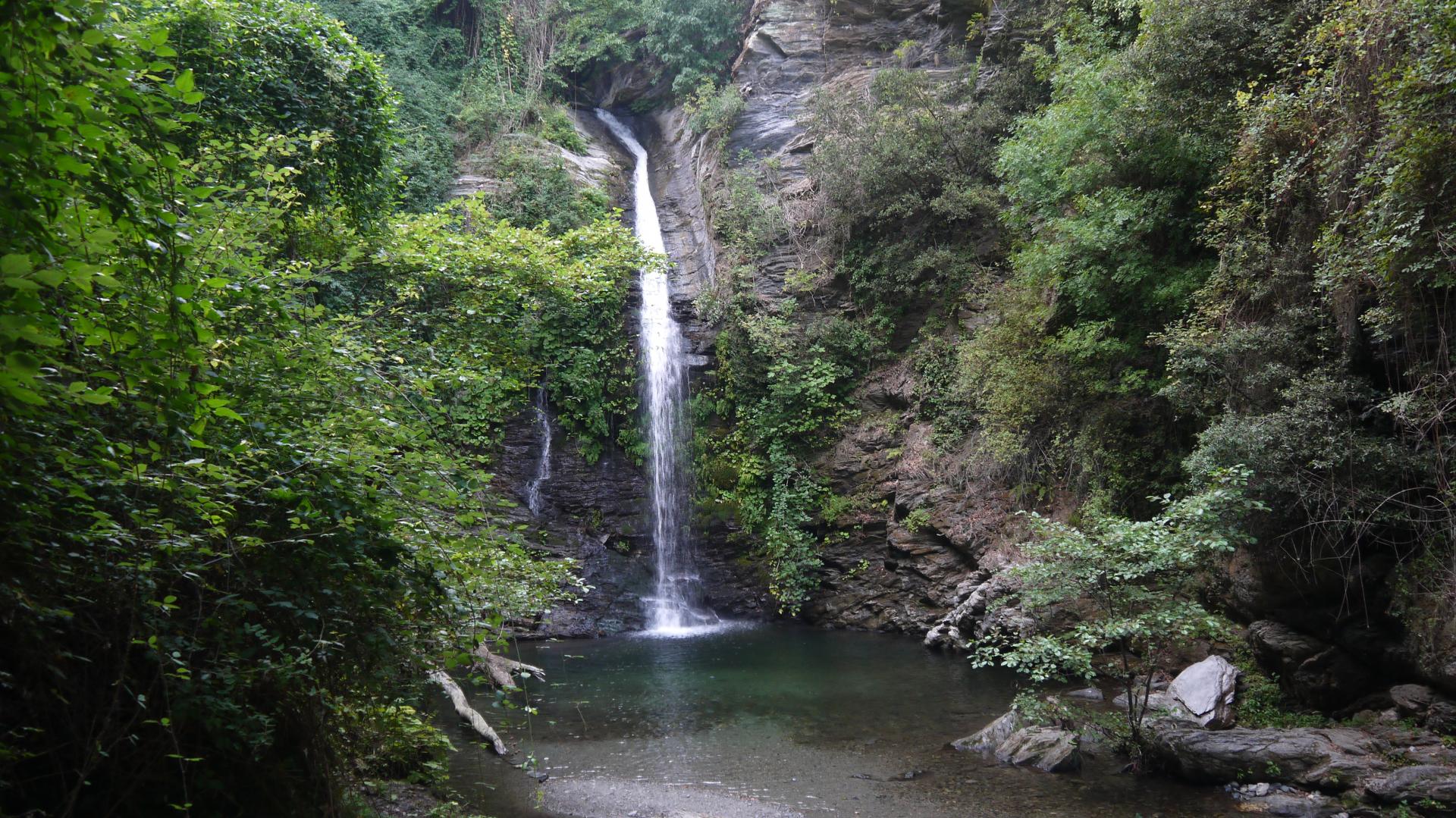
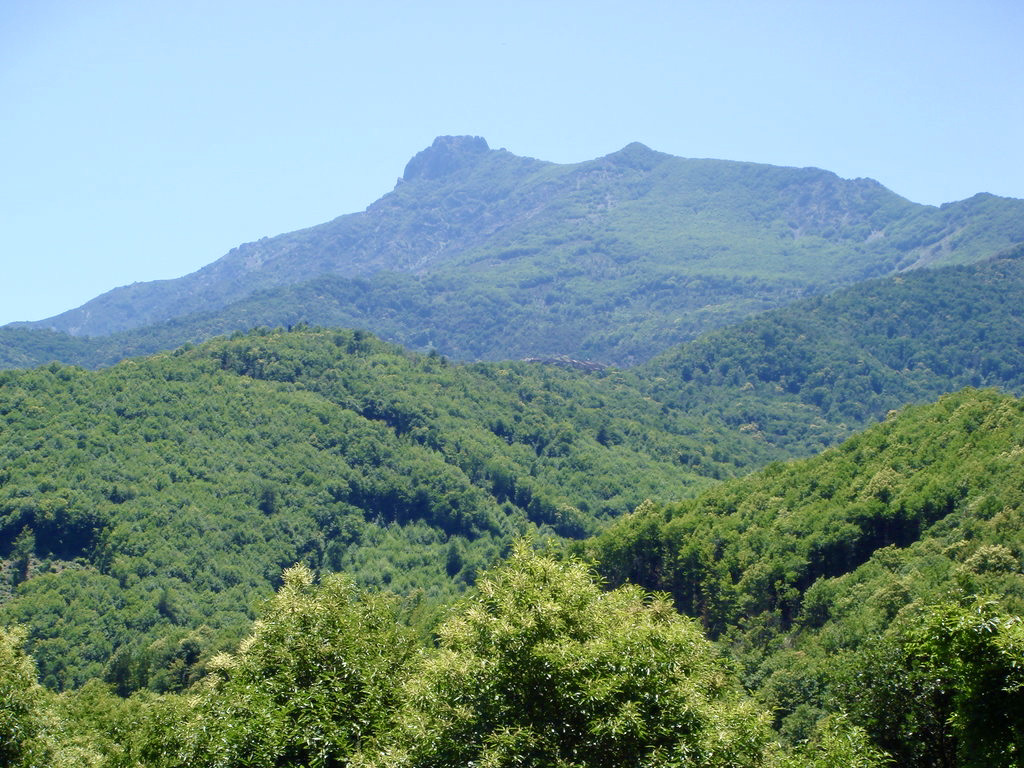
From Cervione, return hike to the Madonna of Scupiccia. The path is physical, stony, little shaded, along the stream of Fascheraccia.

Already more than 200,000 users!
Uphill
403m
Highest point
755m
Downhill
403m
Lowest point
345m
Route type
There and back
Download the map on your smartphone to save battery and rest assured to always keep access to the route, even without signal.
Includes IGN France and Swisstopo.
I indicate whether dogs are allowed or prohibited on this trail
All year
1 rating
Also enjoy:

Already more than 200,000 users!