Uphill
552m
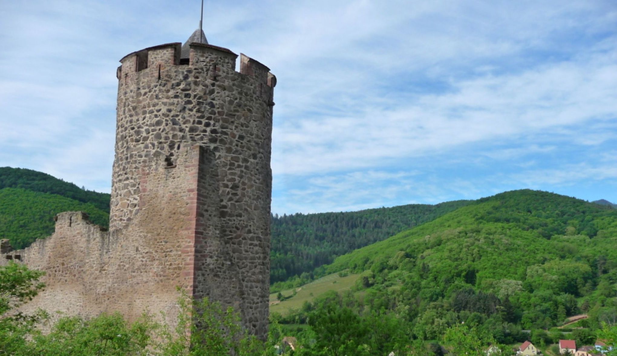
France > Grand Est > Haut-Rhin > Ballons des Vosges Regional Natural Park
Length
13km
Duration
5h
Elev gain
552m
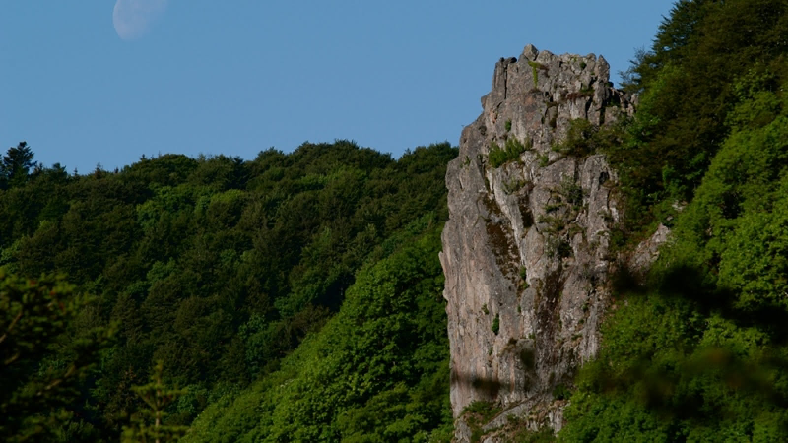
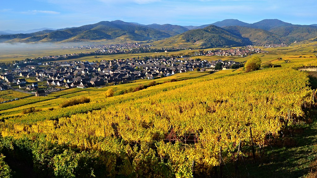
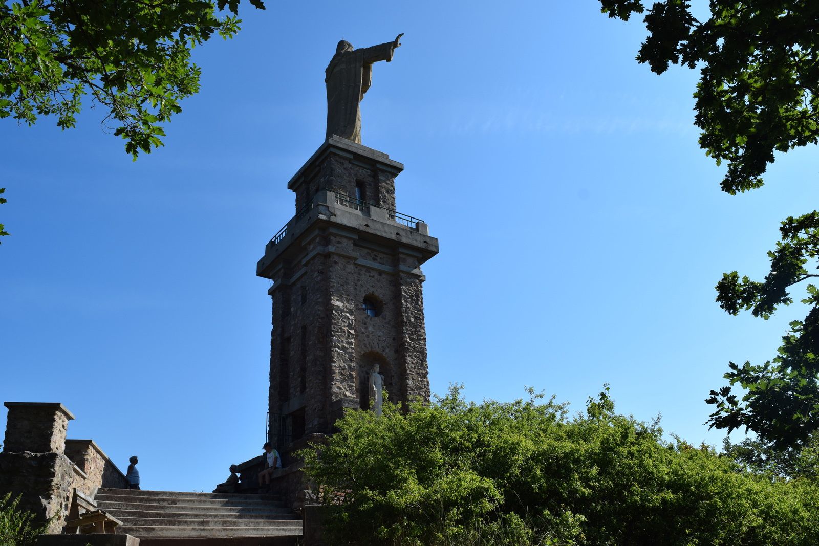
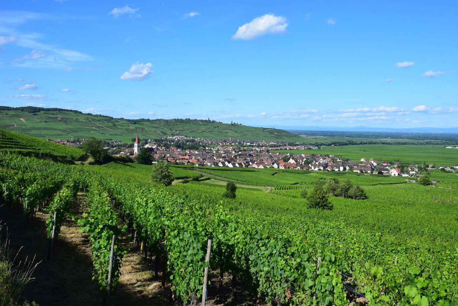
Here is a nice hike with diverse and varied landscapes. The trail starts from Kaysersberg and joins Saint-Alexis, alternating between forest and open stubble. The views of the surrounding villages are splendid. Once at the old Saint-Alexis farm, now an inn, the trail descends back to the starting point.

Already more than 200,000 users!
Uphill
552m
Highest point
695m
Downhill
552m
Lowest point
247m
Route type
Loop
Download the map on your smartphone to save battery and rest assured to always keep access to the route, even without signal.
Includes IGN France and Swisstopo.
I indicate whether dogs are allowed or prohibited on this trail
All year
0 ratings
Also enjoy:

Already more than 200,000 users!