Uphill
397m
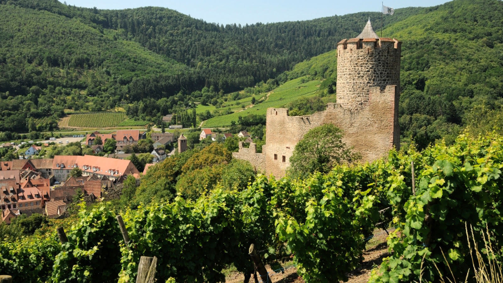
France > Grand Est > Haut-Rhin > Ballons des Vosges Regional Natural Park
Length
7km
Duration
3h
Elev gain
397m
This hike takes place on the heights of Kaysersberg. The route makes a loop in the vineyards and offers pretty plunging views of the village and its charming castle.

Already more than 200,000 users!
Uphill
397m
Highest point
481m
Downhill
397m
Lowest point
217m
Route type
Loop
Download the map on your smartphone to save battery and rest assured to always keep access to the route, even without signal.
Includes IGN France and Swisstopo.
I indicate whether dogs are allowed or prohibited on this trail
All year
0 ratings
Also enjoy:

Already more than 200,000 users!


