Uphill
275m
France > Grand Est > Haut-Rhin > Ballons des Vosges Regional Natural Park
Length
6km
Duration
2h
Elev gain
275m
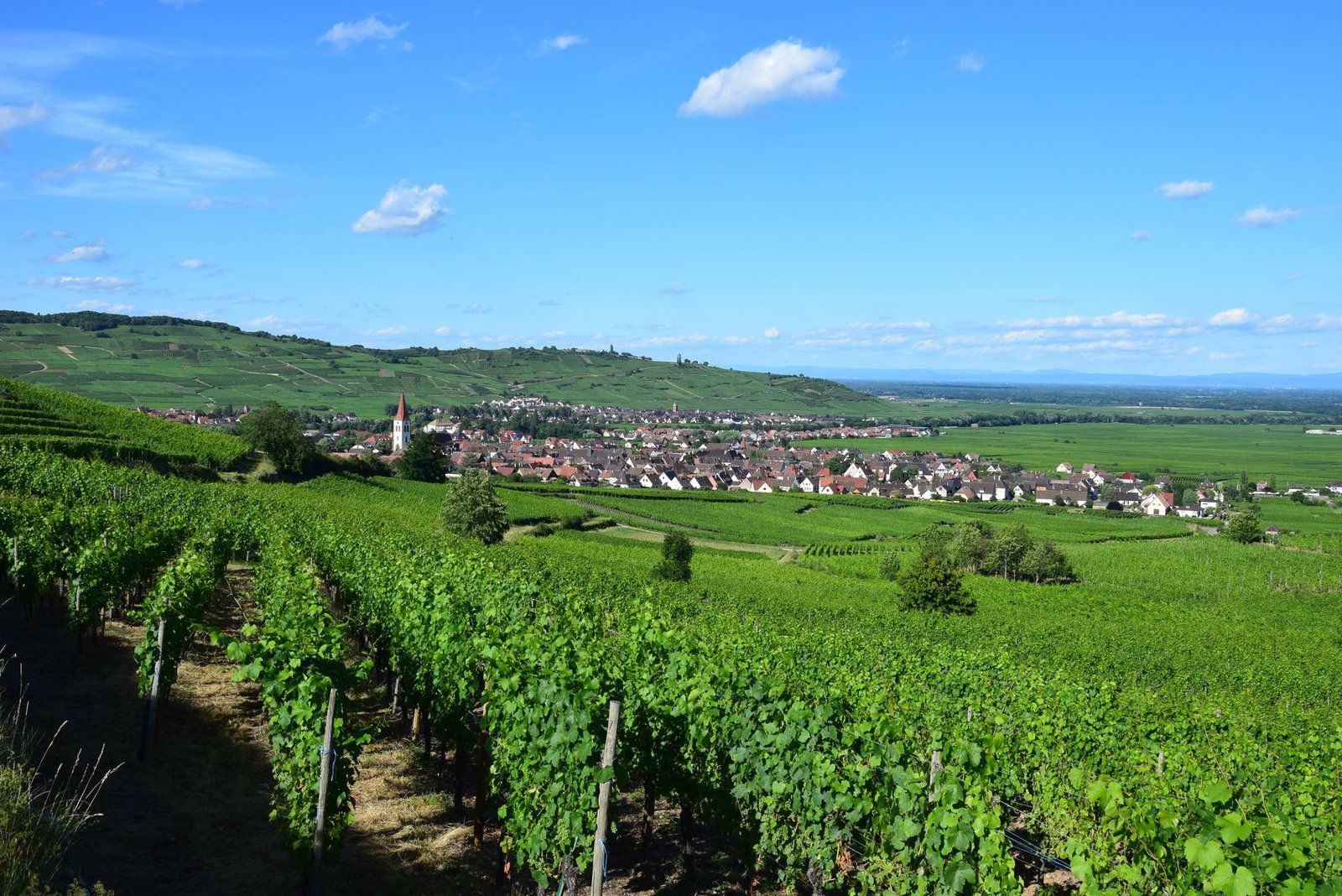
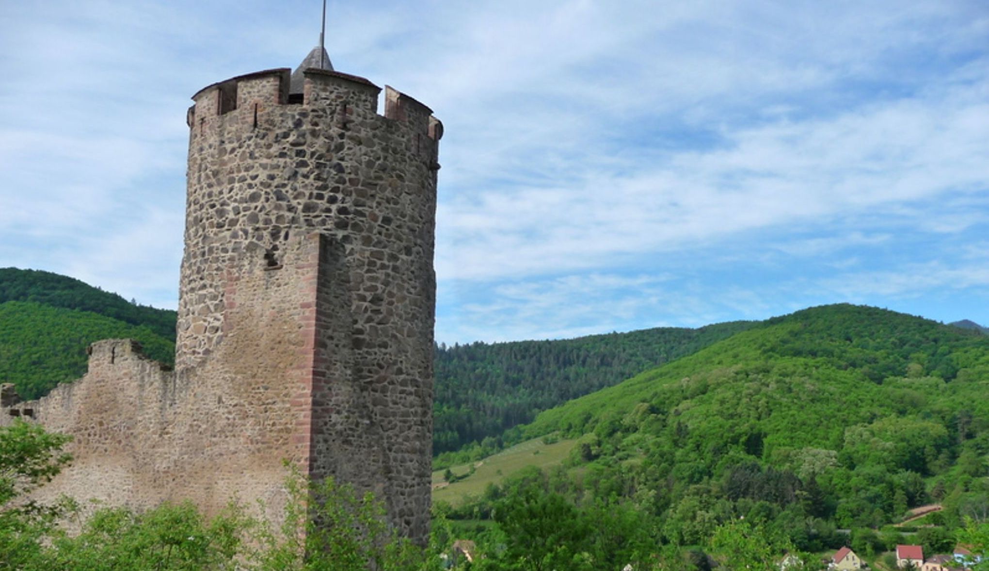
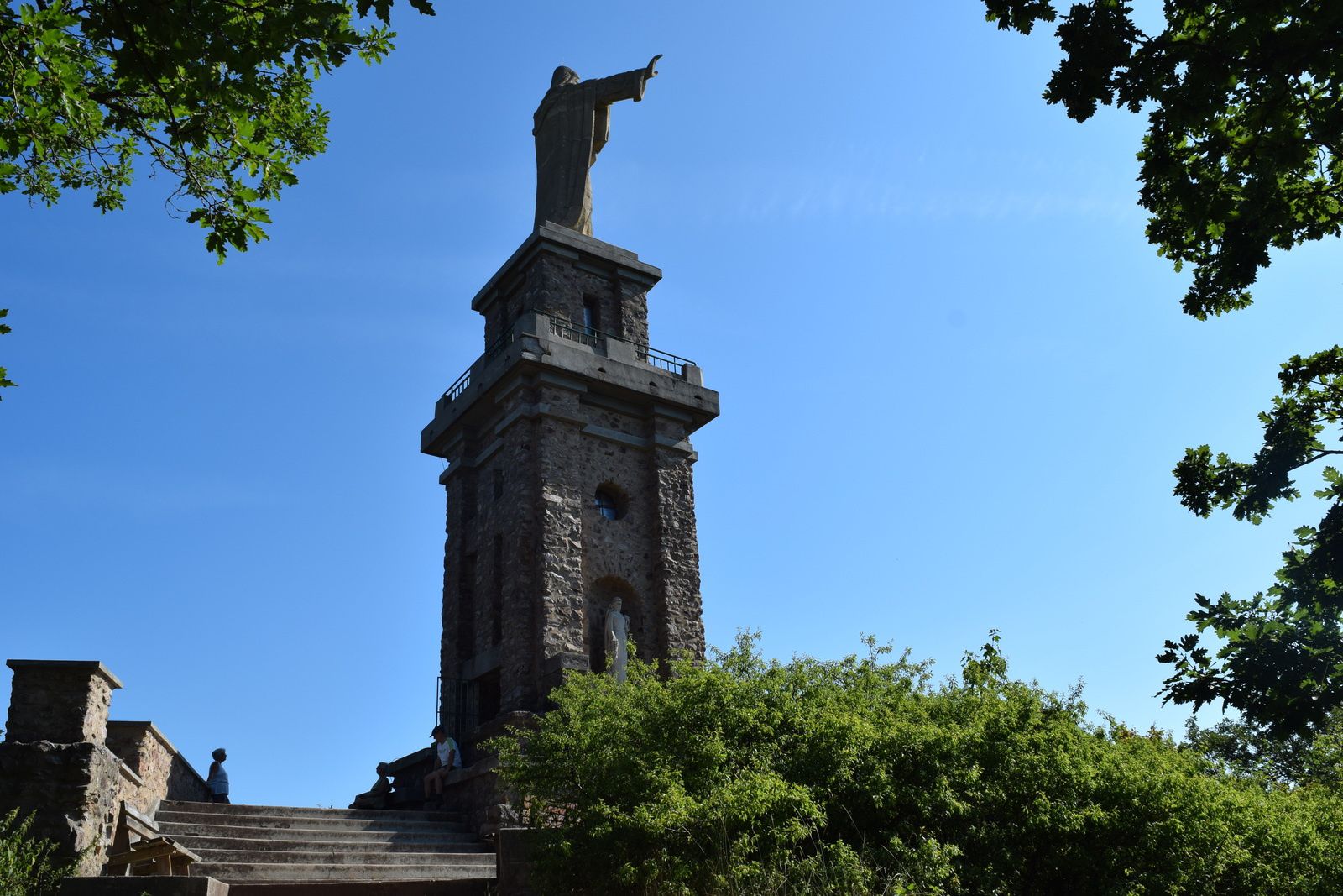
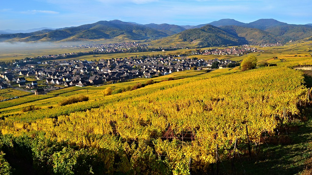
Departing from Sigolsheim, this hike takes place on the heights of the village, in the middle of the vineyards.
The route initially takes the direction of Kientzheim, then branches off to go deeper into the vineyards and reach the necropolis of Sigolsheim. The view over the Alsatian plain and the Black Forest is superb.
Note that this route uses roads several times.

Already more than 200,000 users!
Uphill
275m
Highest point
389m
Downhill
275m
Lowest point
205m
Route type
Loop
Download the map on your smartphone to save battery and rest assured to always keep access to the route, even without signal.
Includes IGN France and Swisstopo.
I indicate whether dogs are allowed or prohibited on this trail
All year
0 ratings
Also enjoy:

Already more than 200,000 users!