Uphill
180m
Length
11km
Duration
3h
Elev gain
180m
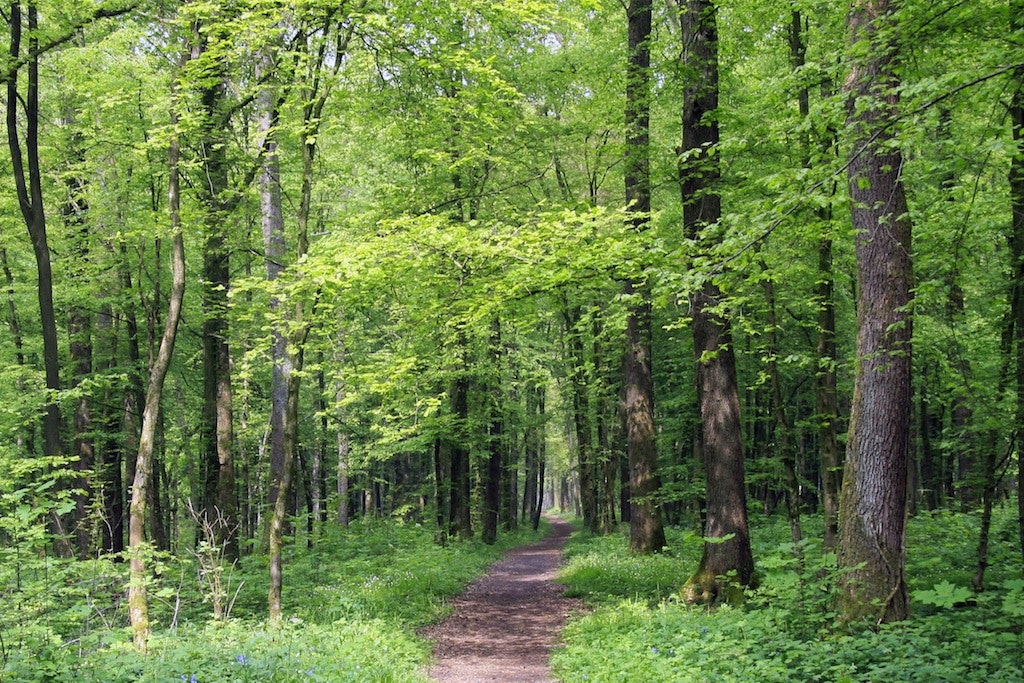
Departing from Landrecourt, this walk takes the direction of the woods in order to rush into it, then makes a loop in a natural environment before returning to the starting point.

Already more than 200,000 users!
Uphill
180m
Highest point
316m
Downhill
180m
Lowest point
210m
Route type
Loop
Download the map on your smartphone to save battery and rest assured to always keep access to the route, even without signal.
Includes IGN France and Swisstopo.
I indicate whether dogs are allowed or prohibited on this trail
All year
0 ratings
Also enjoy:

Already more than 200,000 users!


