Uphill
244m
Length
12km
Duration
3h30min
Elev gain
244m
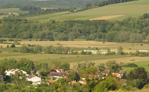
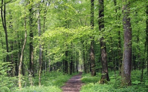
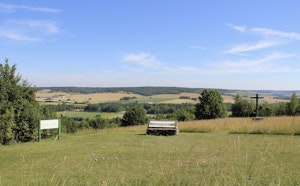
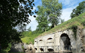
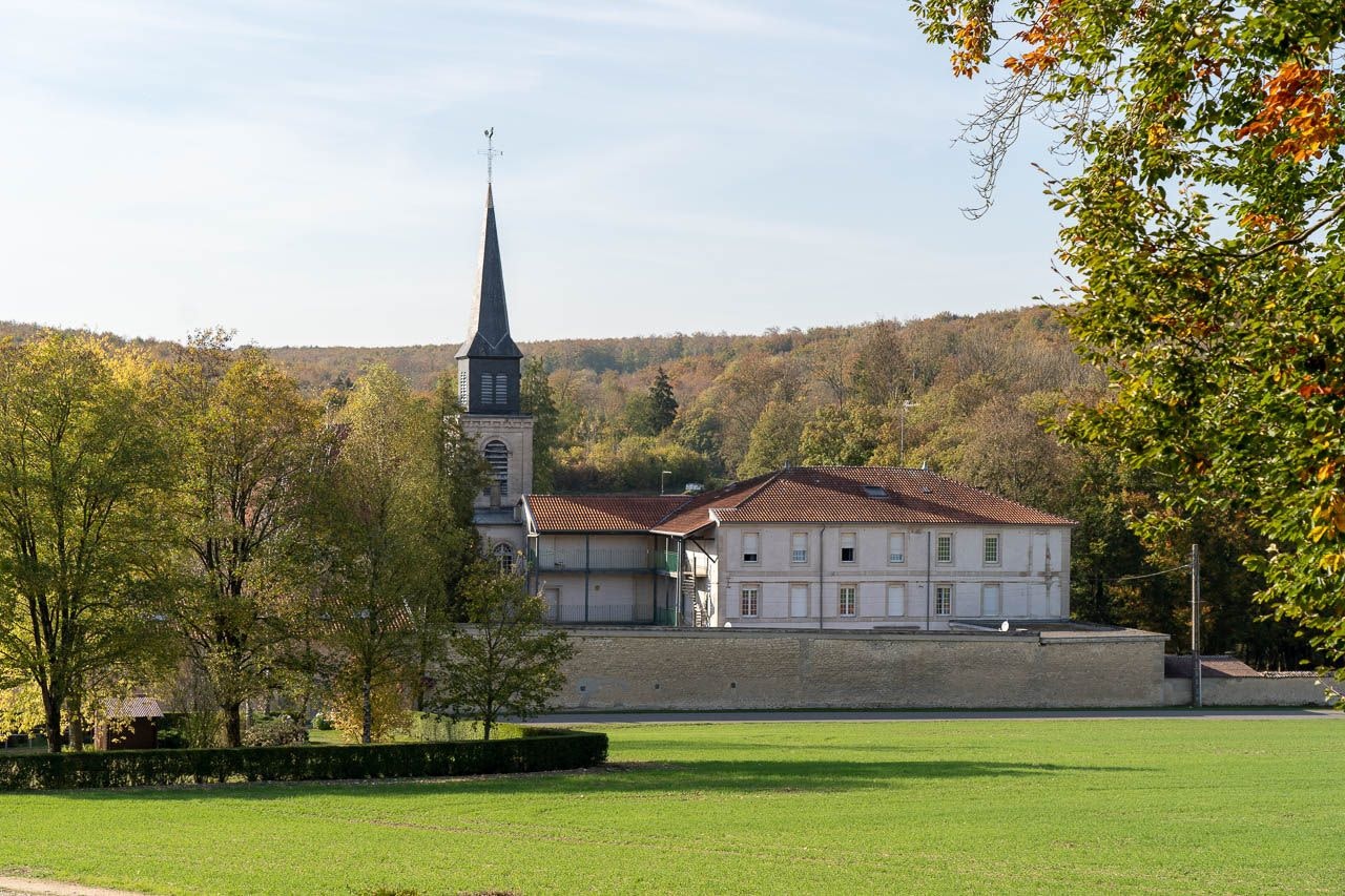
Here is a nice walk between Benoîte-Vaux and Thillombois. The route makes a loop in a natural forest environment where calm reigns.

Already more than 200,000 users!
Uphill
244m
Highest point
349m
Downhill
244m
Lowest point
244m
Route type
Loop
Download the map on your smartphone to save battery and rest assured to always keep access to the route, even without signal.
Includes IGN France and Swisstopo.
I indicate whether dogs are allowed or prohibited on this trail
All year
0 ratings
Also enjoy:

Already more than 200,000 users!